Enable Location

We need your location to show you interesting places around you

Discover nearby places

Find interesting locations and hidden gems around you

Precise directions

Get accurate directions and distances to places

Your location is never shared with other users. It's only used when you tap the location button.

Corozal District

Log in to your account

Start exploring — it's free

Trusted by 62,106 travelers worldwide

Continue with Google
Continue with Apple
or

We will send you a code to connect

By continuing, you accept our Terms and Conditions and our Privacy Policy

Check your inbox

We've sent a pincode in your inbox. Please enter the code below.

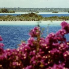
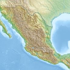
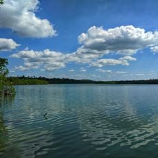
Corozal District, Administrative district in northern Belize

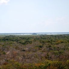
Corozal District is the northernmost administrative region of Belize, positioned between Mexico and the Caribbean Sea. It encompasses around 29 settlements spread across the landscape, combining rural villages with commercial areas.

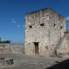
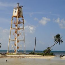
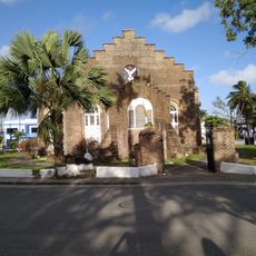
Corozal was founded in 1848 by people fleeing conflict in Yucatan. Hurricane Janet in 1955 destroyed much of what had been built, leading to reconstruction across the region.

Mestizo, Mennonite, and East Indian communities shape daily life across the settlements, with Spanish and English heard throughout neighborhoods and markets. Their cultural practices remain visible in local food, celebrations, and how people gather in town centers.

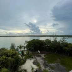
The region is straightforward to navigate, with roads connecting the main settlements. The tropical climate means warm weather year-round, so light clothing and insect protection are recommended.

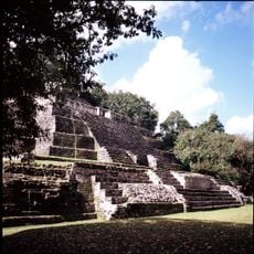
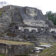
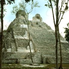
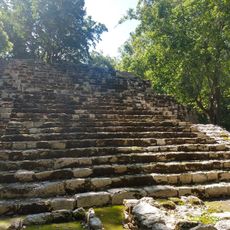
The region holds ancient archaeological sites such as Santa Rita and Cerros, where ruins date back more than 2,000 years. These places connect today's communities with the area's pre-Columbian past.

The community of curious travelers

AroundUs brings together thousands of curated places, local tips, and hidden gems, enriched daily by 60,000 contributors worldwide.

Start exploring
Location
Capital city
Corozal
Elevation above the sea
1 m
Shares border with
Belize District, Orange Walk District, Quintana Roo
GPS coordinates
18.25000,-88.33333
Latest update
December 10, 2025 15:56
« Corozal District - Administrative district in northern Belize » is provided by Around Us (aroundus.com). Images and texts are derived from Wikimedia project under a Creative Commons license. You are allowed to copy, distribute, and modify copies of this page, under the conditions set by the license, as long as this note is clearly visible.

Discover hidden gems everywhere you go!

From secret cafés to breathtaking viewpoints, skip the crowded tourist spots and find places that match your style. Our app makes it easy with voice search, smart filtering, route optimization, and insider tips from travelers worldwide. Download now for the complete mobile experience.

Around Us App Screenshot

A unique approach to discovering new places

Le Figaro

All the places worth exploring

France Info

A tailor-made excursion in just a few clicks

20 Minutes

Around Us
Travel Guide & Maps
Download

Send to your phone

QR Code
1

Open the camera app on your mobile.

2

Point at the QR code with your camera. A notification will appear.

3

Tap the notification to open the link.