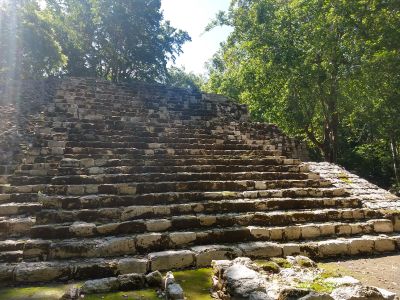
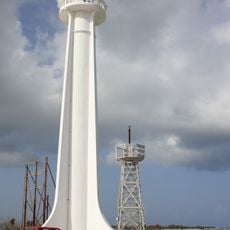
Zona Arqueológica Oxtankah
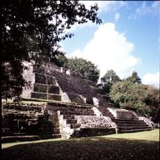
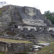
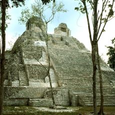
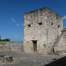
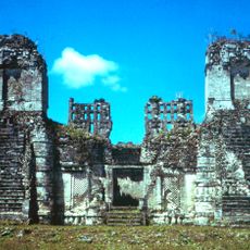
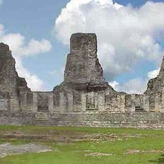
Zona Arqueológica Oxtankah is an archaeological site with remains from the colonial period and an attached museum in Othón P. Blanco. The grounds feature structures from different historical phases and show how the area developed over time.
The site was settled across multiple epochs, from pre-Columbian times through Spanish conquest and the colonial period. These layers show how settlement and land use changed under different cultures and ruling systems.
The site sits in a humid tropical region, so bring sun protection and plenty of water. Sturdy footwear is advisable since some paths are uneven and ground conditions can become slippery after rain.
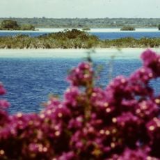
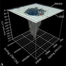
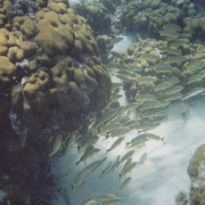
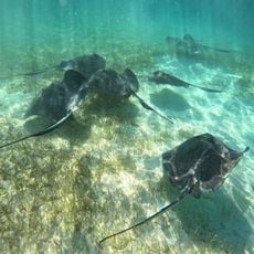
The name Oxtankah comes from Maya language meaning "three cenotes," referring to the natural freshwater sinkholes that were vital to pre-Hispanic settlement. These water sources were not only essential for survival but also held deep religious meaning in Maya culture.
The community of curious travelers
AroundUs brings together thousands of curated places, local tips, and hidden gems, enriched daily by 60,000 contributors worldwide.