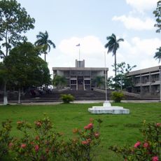
Lamanai, Maya archaeological site in Orange Walk District, Belize
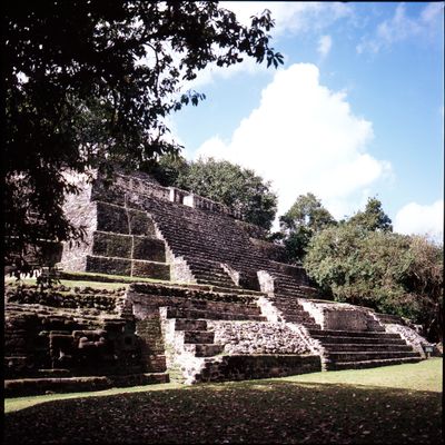
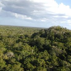
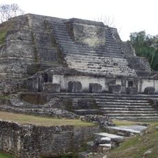
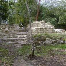
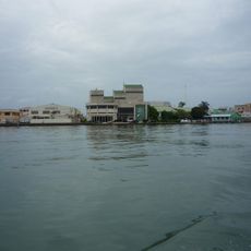
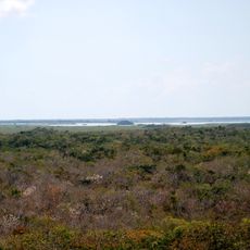
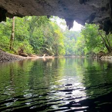
Lamanai is an archaeological site along the New River Lagoon in Orange Walk District, featuring several stone temples and pyramids surrounded by dense rainforest. The complex spreads across multiple hills and terraces, with broad plazas between the structures and paths winding through tall grass and tree roots.
People lived here for over 3,000 years and remained even after other cities in the region collapsed. Spanish missionaries founded two churches, but residents resisted and the settlement was eventually abandoned in the 17th century.
The site displays ancient stone figures with oversized ears and animal masks, showing the skill of sculptors, along with lower structures inhabited long after their original use. Even in the 19th century, residents occupied parts of the area and built a brick sugar mill near the old temples.
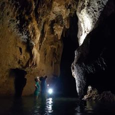
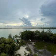
Most visitors reach the site by boat along the river, taking about an hour and passing through a nature reserve. Steep steps at the temples require good footwear and some fitness, while paths between structures can be uneven and slippery.
Many stones still show the original red paint that once covered large parts of the structures and remains visible today only in sheltered niches. One of the temples sits on a platform that was built in the earliest period and expanded and rebuilt over centuries.
The community of curious travelers
AroundUs brings together thousands of curated places, local tips, and hidden gems, enriched daily by 60,000 contributors worldwide.