Enable Location

We need your location to show you interesting places around you

Discover nearby places

Find interesting locations and hidden gems around you

Precise directions

Get accurate directions and distances to places

Your location is never shared with other users. It's only used when you tap the location button.

Orange Walk District

Log in to your account

Start exploring — it's free

Trusted by 61,665 travelers worldwide

Continue with Google
Continue with Apple
or

We will send you a code to connect

By continuing, you accept our Terms and Conditions and our Privacy Policy

Check your inbox

We've sent a pincode in your inbox. Please enter the code below.

Orange Walk District, Administrative district in northwest Belize

Description

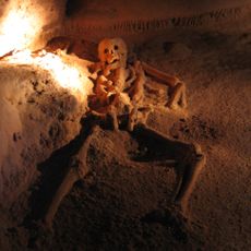
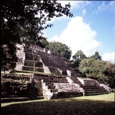
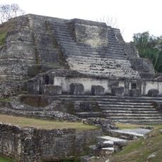
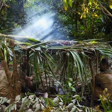
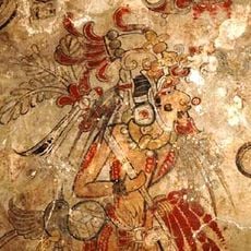
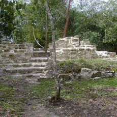
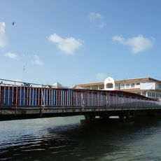
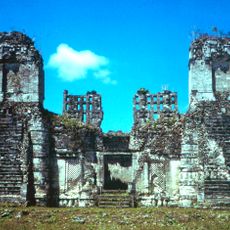
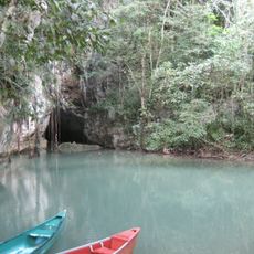
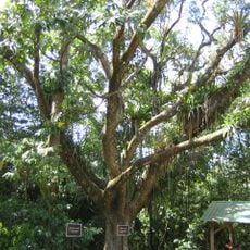
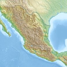
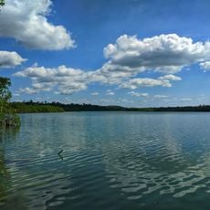
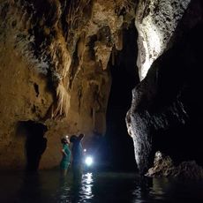
Orange Walk District is an administrative region in northwest Belize located between Mexico and Guatemala. The area contains agricultural lands, Maya archaeological sites, and several conservation zones that protect its natural resources.

History

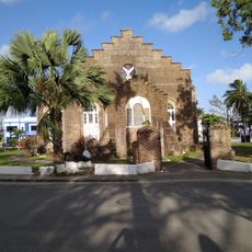
The district underwent fundamental change in the mid-1800s when Mexican refugees arrived during the Caste War. This migration shifted the economy from logging to sugar cane cultivation, which remains central to the region today.

Culture

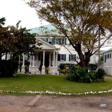
The district is home to Mestizo communities, Mennonites, and indigenous groups who maintain distinct languages and ways of life. Spanish, English, and German are spoken across different settlements, reflecting the diversity of people who live here.

Practical

The best time to visit is during the dry season when roads are more easily passable. Learning some Spanish phrases helps when exploring smaller communities where English is less common.

Did you know?

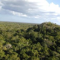
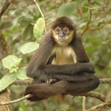
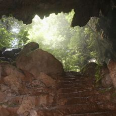
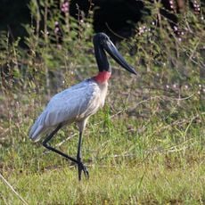
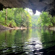
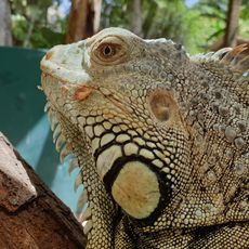
A conservation area within the region is home to over 400 bird species and serves as a refuge for wildlife. This space draws nature enthusiasts and birdwatchers from around the world.

Location
Capital city
Orange Walk Town
Elevation above the sea
48 m
Shares border with
Belize District, Campeche, Cayo District, Corozal District, Petén Department, Quintana Roo
GPS coordinates
17.83333,-88.83333
Latest update
December 7, 2025 20:47

AroundUs brings together thousands of curated places, local tips, and hidden gems, enriched daily by 60,000 contributors worldwide. Discover all places nearby (Belize).

« Orange Walk District - Administrative district in northwest Belize » is provided by Around Us (aroundus.com). Images and texts are derived from Wikimedia project under a Creative Commons license. You are allowed to copy, distribute, and modify copies of this page, under the conditions set by the license, as long as this note is clearly visible.

Discover hidden gems everywhere you go!

From secret cafés to breathtaking viewpoints, skip the crowded tourist spots and find places that match your style. Our app makes it easy with voice search, smart filtering, route optimization, and insider tips from travelers worldwide. Download now for the complete mobile experience.

Around Us App Screenshot

A unique approach to discovering new places

Le Figaro

All the places worth exploring

France Info

A tailor-made excursion in just a few clicks

20 Minutes

Around Us
Travel Guide & Maps
Download

Send to your phone

QR Code
1

Open the camera app on your mobile.

2

Point at the QR code with your camera. A notification will appear.

3

Tap the notification to open the link.