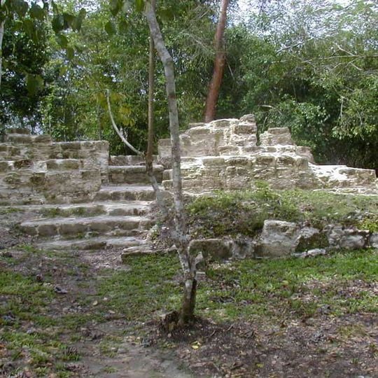
El Pilar, Maya archaeological site in Cayo District, Belize
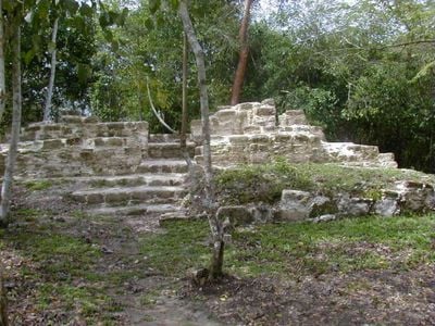
El Pilar is a Maya city center on the Belize-Guatemala border, 12 km north of San Ignacio, Belize. Its monuments cover about 120 acres and include more than 25 plazas and hundreds of major buildings, among them the eastern temple of Plaza Copal. Most structures remain under forest canopy; only the Tzunu'un residential house is fully exposed.
The site served as a Maya settlement center for many centuries, with architecture reflecting different building phases from various time periods. Early scientific excavations in the 1990s began revealing the extent and complexity of the structures.
The name El Pilar is Spanish for "watering basin", referring to the streams around the site and below its escarpment. Around the excavated elite house Tzunu'un, Maya forest gardeners maintain a forest garden reproducing ancient planting practices, and the El Pilar Forest Garden Network keeps this work going.
The terrain is densely forested and often muddy, so sturdy shoes and insect protection are essential for comfortable exploration. Visiting during drier months makes it easier to navigate the site and see the structures clearly.
The name "El Pilar" is Spanish for "watering basin", referring to the streams around the site and below its escarpment, a water supply rare in the Maya area. Anabel Ford first mapped the site in 1983 during her Belize River Archaeological Settlement Survey.
The community of curious travelers
AroundUs brings together thousands of curated places, local tips, and hidden gems, enriched daily by 93,856 contributors worldwide.