Enable Location

We need your location to show you interesting places around you

Discover nearby places

Find interesting locations and hidden gems around you

Precise directions

Get accurate directions and distances to places

Your location is never shared with other users. It's only used when you tap the location button.

Naranjo

Log in to your account

Start exploring — it's free

Trusted by 61,647 travelers worldwide

Continue with Google
Continue with Apple
or

We will send you a code to connect

By continuing, you accept our Terms and Conditions and our Privacy Policy

Check your inbox

We've sent a pincode in your inbox. Please enter the code below.

Naranjo, Maya archaeological site in Petén Department, Guatemala.

Description

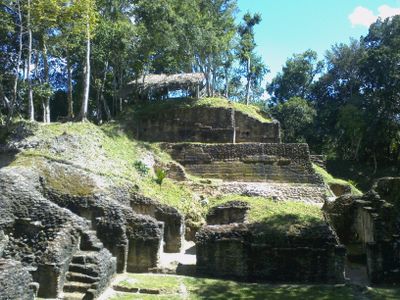
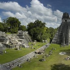
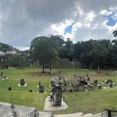
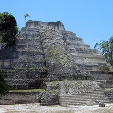
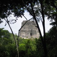
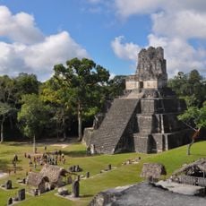
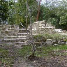
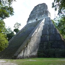
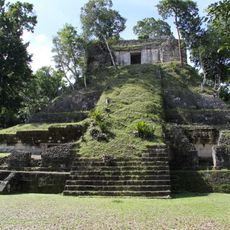
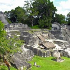
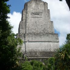
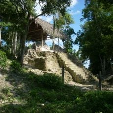
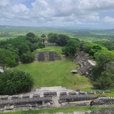
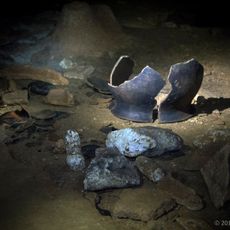
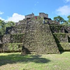
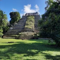
Naranjo is a Maya archaeological site in Guatemala's Petén Department with extensive remains spread across the landscape in both central and outer zones. The structures include pyramids, observatories, and a stairway carved with hieroglyphic text that reveal how ancient builders organized their city.

History

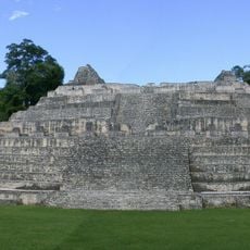
The settlement began around 500 BC and developed into a major center over the following centuries, with its peak of power during the Late Classic Period. Its decline came around 950 AD, which marked the end of many thriving cities across the wider region.

Culture

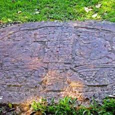
The name comes from orange trees that once grew in the region and gave the site its identity. Walking through the ruins, you can see evidence of how rulers displayed their power through monumental architecture and carved stone monuments that recorded important events.

Practical

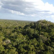
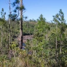
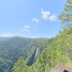
The site is protected as part of a national park that encompasses other nearby archaeological areas, allowing visitors to explore multiple locations in one visit. Plan for longer walks since the structures are spread across a large area and dense jungle vegetation covers much of the terrain.

Did you know?

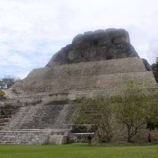
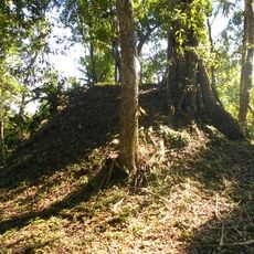
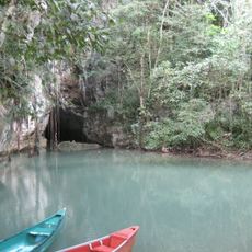
The main pyramid sits atop a hill with a cave inside that the Maya saw as sacred, tying it to their beliefs about the cosmos and the underworld. This natural feature shows how the Maya adapted their construction to align with their spiritual worldview.

GPS coordinates
17.13360,-89.26217
Latest update
December 7, 2025 20:41

AroundUs brings together thousands of curated places, local tips, and hidden gems, enriched daily by 60,000 contributors worldwide. Discover all places nearby (Petén Department).

« Naranjo - Maya archaeological site in Petén Department, Guatemala » is provided by Around Us (aroundus.com). Images and texts are derived from Wikimedia project under a Creative Commons license. You are allowed to copy, distribute, and modify copies of this page, under the conditions set by the license, as long as this note is clearly visible.

Discover hidden gems everywhere you go!

From secret cafés to breathtaking viewpoints, skip the crowded tourist spots and find places that match your style. Our app makes it easy with voice search, smart filtering, route optimization, and insider tips from travelers worldwide. Download now for the complete mobile experience.

Around Us App Screenshot

A unique approach to discovering new places

Le Figaro

All the places worth exploring

France Info

A tailor-made excursion in just a few clicks

20 Minutes

Around Us
Travel Guide & Maps
Download

Send to your phone

QR Code
1

Open the camera app on your mobile.

2

Point at the QR code with your camera. A notification will appear.

3

Tap the notification to open the link.