Cayo District, Administrative district in western Belize.
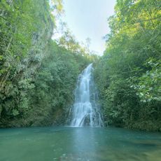
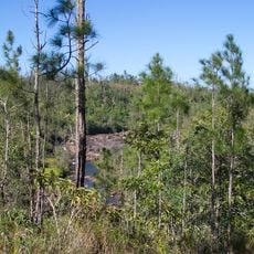
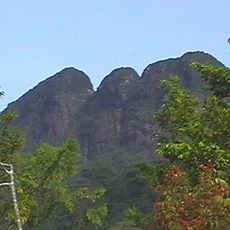
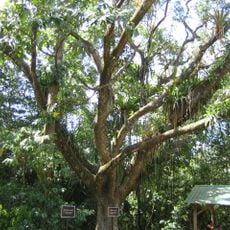
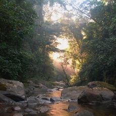
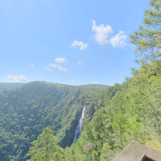
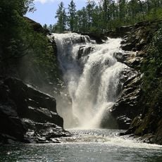
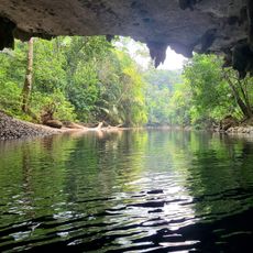
Cayo District is an administrative region in western Belize that covers a mix of mountains, rainforests, rivers, and farmland spread across the landscape. The area is crossed by two main roads that connect the capital Belmopan to Belize City and to the coast, making it a central passage through the country.
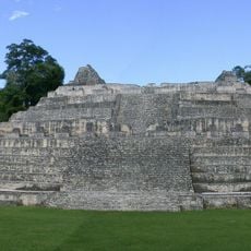
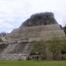
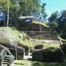
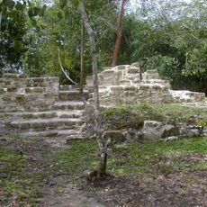
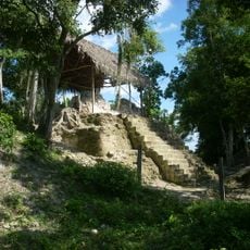
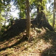
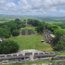
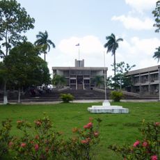
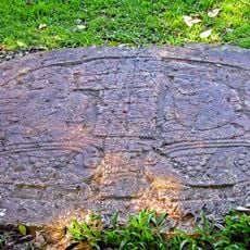
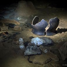
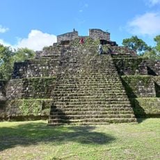
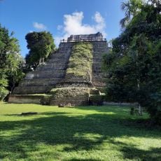
This area was home to the Maya civilization, with ruins of ancient cities like Caracol scattered across the landscape. Over time, the region developed as a European settlement and trade hub, eventually becoming an administrative center with San Ignacio as its capital.
San Ignacio, the district's main town, brings together Maya, Mestizo, Creole, Garifuna, Chinese, East Indian, and European communities whose daily lives, customs, and celebrations shape the local character. This mix shows itself in the buildings, food, and the way people from different backgrounds share the same streets and markets.
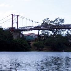
The best way to reach this area is by car, using either the Western Highway from Belize City toward Guatemala or the Hummingbird Highway from the coast. Renting a vehicle makes exploring the scattered towns, natural sites, and archaeological areas much easier than relying on local buses.
A Mennonite community in Spanish Lookout runs large farming operations that supply dairy products, meat, and crops to the rest of Belize. This specialized agricultural presence has become a defining part of the district's economy and landscape.
The community of curious travelers
AroundUs brings together thousands of curated places, local tips, and hidden gems, enriched daily by 60,000 contributors worldwide.