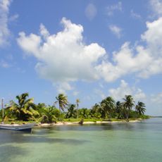
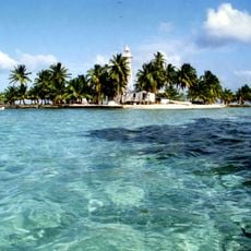
Hol Chan Marine Reserve, Marine reserve near Ambergris Caye, Belize
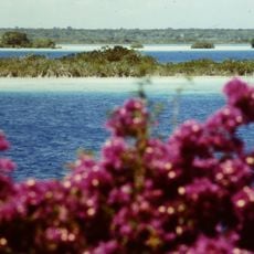
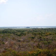
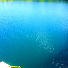
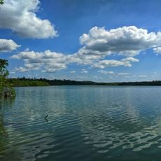
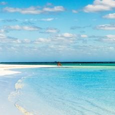
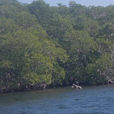
Hol Chan Marine Reserve is a protected area near Ambergris Caye that contains coral reefs, seagrass beds, and mangrove forests as part of the Belize Barrier Reef System. The site is divided into different zones, each with its own characteristics and rules for use.
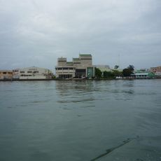
The Fisheries Department established this reserve in 1987 to address declining fish populations and manage growing tourism activities. This protection allowed the underwater environment to recover while establishing rules for how the area could be used.
Local fishing communities continue to work within the reserve and share their knowledge with visitors about how to fish responsibly. These practices show how people can make a living while protecting the waters they depend on.
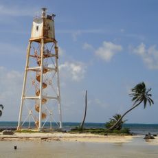
Visitors must book with licensed tour operators to explore the area, with trips typically running Monday through Friday from morning until late afternoon. All access is by boat from nearby islands, and snorkeling or diving are the main ways to experience the underwater life.
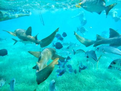
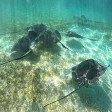
One section known as Shark Ray Alley is a natural gathering place where nurse sharks and stingrays congregate regularly. Visitors who venture there often encounter dozens of these creatures swimming together in shallow water.
The community of curious travelers
AroundUs brings together thousands of curated places, local tips, and hidden gems, enriched daily by 60,000 contributors worldwide.