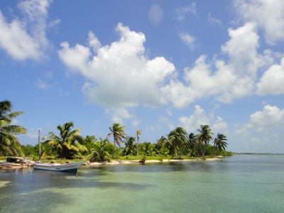
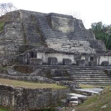
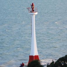
Turneffe islands, Marine reserve atoll in Belize District, Belize.
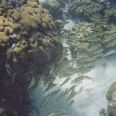
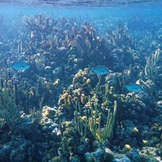
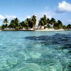
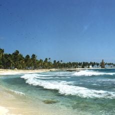
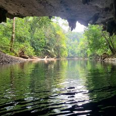
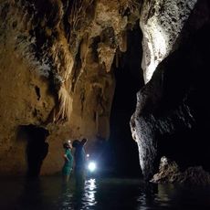
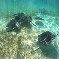
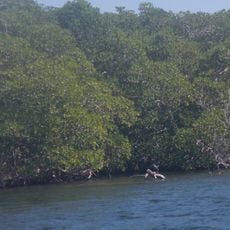
The Turneffe Islands form an atoll made up of hundreds of small islands and mangrove wetlands spread across the Caribbean Sea. The formation creates several distinct water zones with varying coral types and a large lagoon system in the middle.
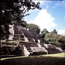
The atoll once served as a base for pirates who hunted Spanish merchant vessels in the region during earlier centuries. It was later designated as a protected area to safeguard the fragile ecosystems from overexploitation.
Local fishing communities have deep roots here, where knowledge about the sea and its creatures has been shared among families for many years.
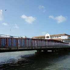
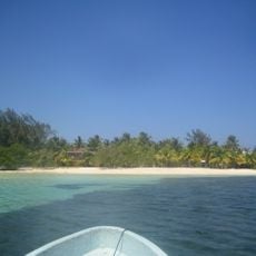
Visitors reach the atoll by boat from Belize City, with travel times varying based on weather and sea conditions. It's wise to prepare for the marine environment and bring suitable gear, especially if you plan water-based activities.
The atoll hosts large populations of bonefish, permit, and tarpon that draw sport fishers from around the world. These fish are known for their strength and intelligence, offering a challenging catch-and-release experience.
The community of curious travelers
AroundUs brings together thousands of curated places, local tips, and hidden gems, enriched daily by 60,000 contributors worldwide.