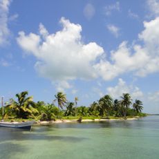
Bacalar Chico National Park & Marine Reserve, Marine reserve and national park on Ambergris Caye, Belize
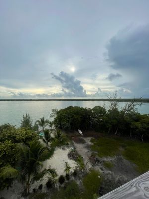
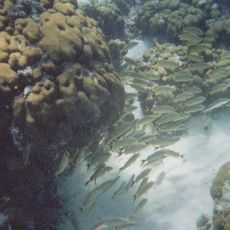
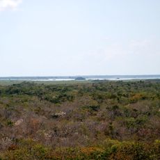
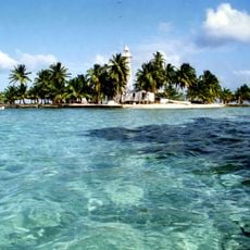
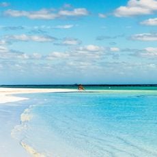
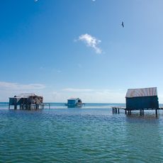
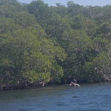
Bacalar Chico National Park & Marine Reserve is a protected area on Ambergris Caye in Belize with coral reefs, mangrove forests, and coastal lagoons that create distinct habitats. The site spans both land and sea, offering diverse environments where plants and animals thrive.
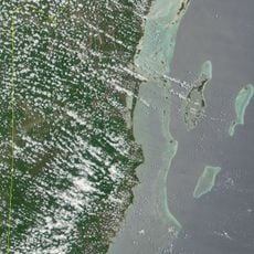
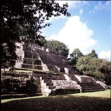
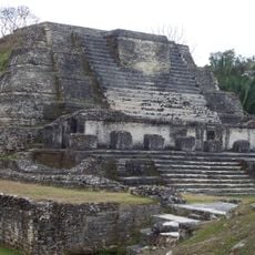
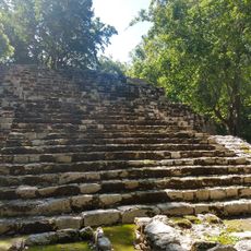
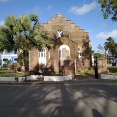
The Maya dug a canal that separated Ambergris Caye from the Yucatan Peninsula, leaving traces of settlements across the region. This ancient waterway became a defining feature of the island's geography.
The reserve holds deep ties to Maya and Garifuna communities whose traditional fishing methods remain visible in designated areas, shaping how the space is used today.
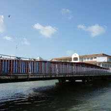
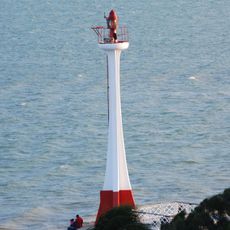
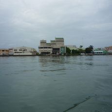
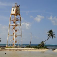
The site is accessible only by boat from San Pedro or Caye Caulker, with guided tours available for different activities and interests. Visitors should plan for boat conditions and changing weather typical of the tropical setting.
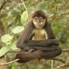
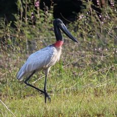
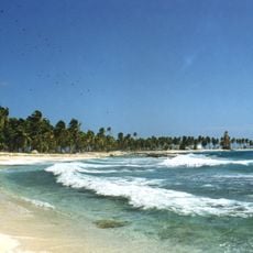
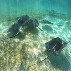
The reserve is home to five wild cat species including jaguars and pumas hunting in the mangroves and forests. Several sea turtle species also nest here, making it a crucial spot for protecting endangered marine animals.
The community of curious travelers
AroundUs brings together thousands of curated places, local tips, and hidden gems, enriched daily by 60,000 contributors worldwide.