Toledo District, Administrative district in southern Belize.
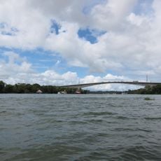
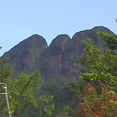
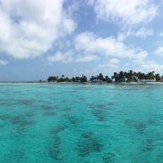
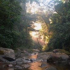
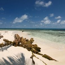
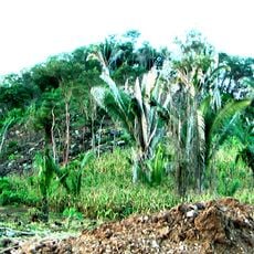
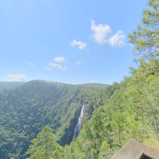
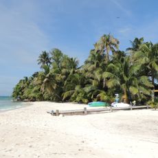
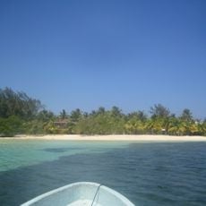
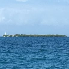
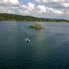
Toledo District is an administrative region in the south that covers rainforests, coastal lowlands, and offshore islands along the Caribbean Sea and Guatemalan border. The landscape transitions from dense forests inland to flat coastal plains dotted with cayes.
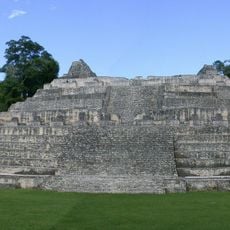
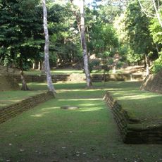
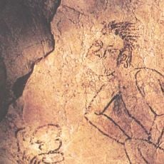
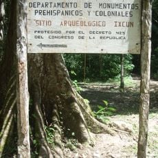
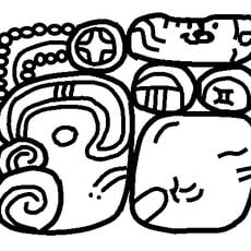
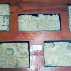
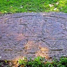
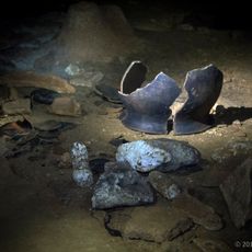
Archaeological evidence shows this region has been home to Maya communities for thousands of years, with significant sites like Lubaantun revealing past settlement patterns. These ancient places demonstrate the long human presence and early cultural development in the area.
Several Maya communities call this district home, where Mopan and Kekchi people continue farming traditions and handcraft methods passed down through families. These villages shape daily life here and show how residents maintain deep connections to the land and their heritage.
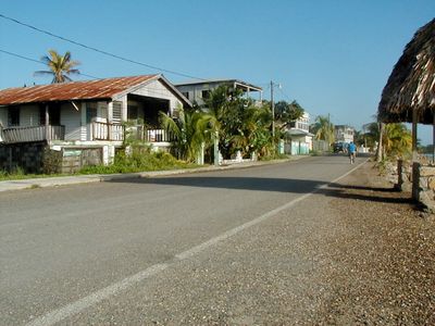
Punta Gorda serves as the main transportation hub connecting to other parts of the country via paved road. Getting around beyond the main town requires patience, as many areas are spread out or accessible only by local transport.
Cacao is grown locally by farmers and sold to the international chocolate industry, with the crop celebrated during regional festivals. This specialty makes the area an important supplier for global chocolate production.
The community of curious travelers
AroundUs brings together thousands of curated places, local tips, and hidden gems, enriched daily by 60,000 contributors worldwide.