Enable Location

We need your location to show you interesting places around you

Discover nearby places

Find interesting locations and hidden gems around you

Precise directions

Get accurate directions and distances to places

Your location is never shared with other users. It's only used when you tap the location button.

Stann Creek District

Log in to your account

Start exploring — it's free

Trusted by 62,834 travelers worldwide

Continue with Google
Continue with Apple
or

We will send you a code to connect

By continuing, you accept our Terms and Conditions and our Privacy Policy

Check your inbox

We've sent a pincode in your inbox. Please enter the code below.

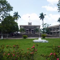
Stann Creek District, Administrative district in southeastern Belize.

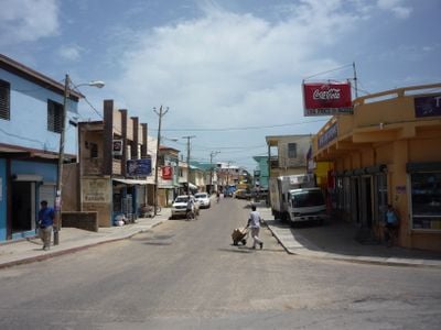
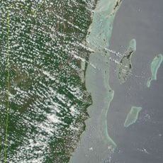
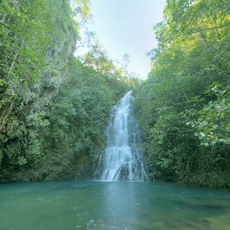
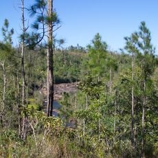
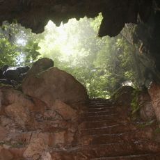
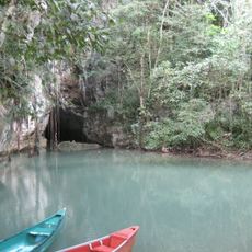
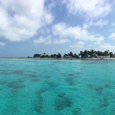
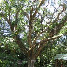
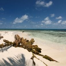
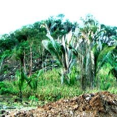
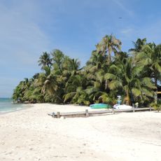
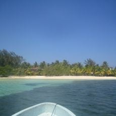
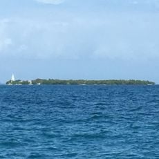
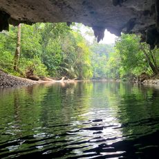
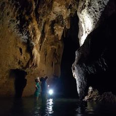
Stann Creek District is an administrative district in southeastern Belize with coastlines, mountains, and rainforests along the Caribbean. The area combines different landscapes from sea to forested hills that create varied terrain.

The name comes from colonial times when shelters were built to protect travelers moving between Europe and the Americas. This early function as a waystation shaped how the region developed.

Garifuna communities in Hopkins and Dangriga keep their heritage alive through drumming, dance, and creole cooking that shape daily life in these towns. You see and taste these traditions woven into how people celebrate and eat together.

You reach the district via the Hummingbird Highway, which connects with the George Price Highway at Belmopan. This road also leads to Belize City and serves as the main link inland.

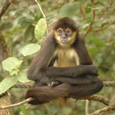
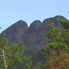
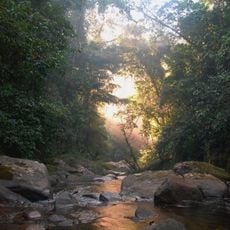
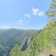
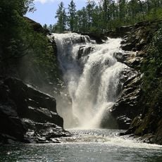
The Cockscomb Basin Wildlife Sanctuary is home to Victoria Peak, a striking mountain of major ecological importance. The reserve ranks as one of the world's most significant jaguar habitats.

The community of curious travelers

AroundUs brings together thousands of curated places, local tips, and hidden gems, enriched daily by 60,000 contributors worldwide.

Start exploring
Location
Capital city
Dangriga
Elevation above the sea
115 m
Shares border with
Belize District, Cayo District, Toledo District
GPS coordinates
16.83333,-88.50000
Latest update
December 10, 2025 15:55
« Stann Creek District - Administrative district in southeastern Belize » is provided by Around Us (aroundus.com). Images and texts are derived from Wikimedia project under a Creative Commons license. You are allowed to copy, distribute, and modify copies of this page, under the conditions set by the license, as long as this note is clearly visible.

Discover hidden gems everywhere you go!

From secret cafés to breathtaking viewpoints, skip the crowded tourist spots and find places that match your style. Our app makes it easy with voice search, smart filtering, route optimization, and insider tips from travelers worldwide. Download now for the complete mobile experience.

Around Us App Screenshot

A unique approach to discovering new places

Le Figaro

All the places worth exploring

France Info

A tailor-made excursion in just a few clicks

20 Minutes

Around Us
Travel Guide & Maps
Download

Send to your phone

QR Code
1

Open the camera app on your mobile.

2

Point at the QR code with your camera. A notification will appear.

3

Tap the notification to open the link.