La Salle County

Log in to your account

AroundUs is a community-driven map of interesting places, built by curious explorers like you. It grows with every review, story, and photo you share.
Connect to save your favorite spots, contribute locations, and create personalized routes.
By continuing, you accept our Terms and Conditions and our Privacy Policy
Add to collection
Map
Suggest a change
Share

La Salle County, Administrative county in Illinois, United States.

La Salle County is an administrative county in Illinois that spreads across the Fox Valley and Illinois River Valley, encompassing multiple communities and natural areas. The county's landscape is shaped by river valleys where towns and state parks are situated along waterways.

The county was established in 1831 from parts of Tazewell and Putnam Counties and named after French explorer René-Robert Cavelier who mapped the area. Construction of the Illinois & Michigan Canal in the 1800s brought thousands of workers and transformed the region.

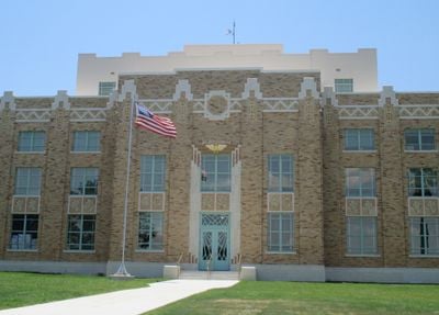
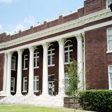
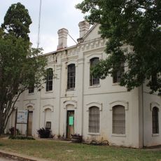
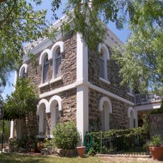
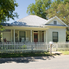
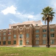
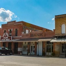
The county's communities reflect their origins as working-class settlements built around early industries like quarrying and milling. Walking through towns here, you notice the sturdy brick buildings from that era that still define the local character.

A car is the best way to explore the scattered communities and natural areas throughout the county. Major attractions like state parks are accessible along main roads in the Illinois River Valley.

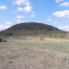
The county is home to three major state parks along the Illinois River, including Starved Rock with its distinctive canyons and waterfalls. These parks stand out as natural features that visitors often seek out when exploring the area.

GPS coordinates: 28.33911,-99.09823

Latest update: December 7, 2025 19:23

Photos
Around this place
Uni-Trade Stadium
United States of America

Uni-Trade Stadium

93.9 km
Laredo Energy Arena
United States of America

Laredo Energy Arena

93.6 km
Fort Inge
United States of America

Fort Inge

114 km
Fort McIntosh
United States of America

Fort McIntosh

101.7 km
Landmark Inn State Historic Site
United States of America

Landmark Inn State Historic Site

115.2 km
Cathedral of San Agustin
United States of America

Cathedral of San Agustin

101.4 km
Castroville Historic District
United States of America

Castroville Historic District

115.1 km
Estadio Nuevo Laredo
Mexico

Estadio Nuevo Laredo

107.2 km
Student Activity Complex
United States of America

Student Activity Complex

99.4 km
Republic of the Rio Grande Museum
United States of America

Republic of the Rio Grande Museum

101.4 km
Asher and Mary Isabelle Richardson House
United States of America

Asher and Mary Isabelle Richardson House

66 km
Laredo United States Post Office, Court House and Custom House
United States of America

Laredo United States Post Office, Court House and Custom House

101 km
Webb County Courthouse
United States of America

Webb County Courthouse

100.9 km
Herff-Rozelle Farm
United States of America

Herff-Rozelle Farm

71.9 km
Atascosa County Courthouse
United States of America

Atascosa County Courthouse

84.2 km
Live Oak County Courthouse
United States of America

Live Oak County Courthouse

96.2 km
Old Frio County Jail
United States of America

Old Frio County Jail

61.1 km
Live Oak County Jail
United States of America

Live Oak County Jail

98.4 km
Frederick and Sallie Lyons House
United States of America

Frederick and Sallie Lyons House

91.9 km
La Salle County Courthouse
United States of America

La Salle County Courthouse

17.3 km
Popeye statue in Crystal City
United States of America

Popeye statue in Crystal City

81 km
Plaza Theater
United States of America

Plaza Theater

101.1 km
Raye Theater
United States of America

Raye Theater

112.5 km
Regal Laredo Stadium 14
United States of America

Regal Laredo Stadium 14

93.3 km
Tivoli Theatre
United States of America

Tivoli Theatre

101.2 km
Devine Opera House
United States of America

Devine Opera House

90.9 km
Oaks Theatre
United States of America

Oaks Theatre

61.4 km
D'Hanis Historic District
United States of America

D'Hanis Historic District

111.4 km
Show the full map
Reviews

Visited this place? Tap the stars to rate it and share your experience / photos with the community! Try now! You can cancel it anytime.

« La Salle County - Administrative county in Illinois, United States » is provided by Around Us (aroundus.com). Images and texts are derived from Wikimedia project under a Creative Commons license. You are allowed to copy, distribute, and modify copies of this page, under the conditions set by the license, as long as this note is clearly visible.

Discover hidden gems everywhere you go!

From secret cafés to breathtaking viewpoints, skip the crowded tourist spots and find places that match your style. Our app makes it easy with voice search, smart filtering, route optimization, and insider tips from travelers worldwide. Download now for the complete mobile experience.

Around Us App Screenshot

A unique approach to discovering new places

Le Figaro

All the places worth exploring

France Info

A tailor-made excursion in just a few clicks

20 Minutes