Enable Location

We need your location to show you interesting places around you

Discover nearby places

Find interesting locations and hidden gems around you

Precise directions

Get accurate directions and distances to places

Your location is never shared with other users. It's only used when you tap the location button.

Raymondville

Log in to your account

Start exploring — it's free

Trusted by 63,985 travelers worldwide

Continue with Google
Continue with Apple
or

We will send you a code to connect

By continuing, you accept our Terms and Conditions and our Privacy Policy

Check your inbox

We've sent a pincode in your inbox. Please enter the code below.

Discussion Reviews 1 Photos
15.7k Popularity

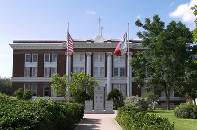
Raymondville, city in Texas, United States

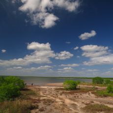
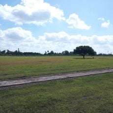
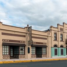
Raymondville is a small city in Willacy County, Texas, located where State Highways 186 and 448 meet and situated about 22 miles west of Port Mansfield. The town has a simple layout with shops, streets, homes, and farmland surrounding it that defines its character and function.

The city was founded in 1904 by Edward Burleson Raymond, who established a land development company and opened a post office to support growth, followed shortly by a railway that accelerated settlement and turned the place into an agricultural hub. By the late 1920s, the population had grown to around 1,800, and by the 1950s it had surpassed 9,000 residents as farming and local industries expanded.

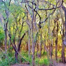
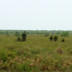
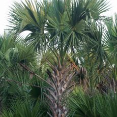
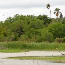
The name Raymondville comes from Edward Burleson Raymond, the founder who shaped the town's early development and left his mark on the community's identity. Agriculture remains central to daily life here, with farming traditions visible in how residents work the land and how the town functions as a market hub for local produce.

The city sits at the intersection of State Highways 186 and 448 and is easily accessible by car, with U.S. Highway 77 nearby for connections to larger towns. The straightforward layout with shops and services makes it simple for visitors to explore and find what they need.

The town was one of the early railroad settlements in the region, attracting new settlers with discounted rail fares who came to start farms and build lives here. This railway-driven founding set it apart from other small towns and created a distinctive pattern of growth tied to transportation infrastructure.

The community of curious travelers

AroundUs brings together thousands of curated places, local tips, and hidden gems, enriched daily by 60,000 contributors worldwide.

Start exploring
Location
Inception
1904
Elevation above the sea
9 m
GPS coordinates
26.48140,-97.78310
Latest update
February 19, 2026 23:40
Around this place
Basilica of the National Shrine of Our Lady of San Juan del Valle
United States of America

Basilica of the National Shrine of Our Lady of San Juan del Valle

48.9 km
Gladys Porter Zoo
United States of America

Gladys Porter Zoo

69.5 km
Palo Alto Battlefield National Historical Park
United States of America

Palo Alto Battlefield National Historical Park

59.4 km
Santa Ana National Wildlife Refuge
United States of America

Santa Ana National Wildlife Refuge

56.6 km
National Butterfly Center
United States of America

National Butterfly Center

67 km
Laguna Atascosa National Wildlife Refuge
United States of America

Laguna Atascosa National Wildlife Refuge

45.4 km
La Lomita Chapel
United States of America

La Lomita Chapel

65.4 km
Lower Rio Grande Valley National Wildlife Refuge
United States of America

Lower Rio Grande Valley National Wildlife Refuge

33.4 km
Bentsen-Rio Grande Valley State Park
United States of America

Bentsen-Rio Grande Valley State Park

69 km
McAllen Convention Center
United States of America

McAllen Convention Center

56.8 km
Immaculate Conception Cathedral
United States of America

Immaculate Conception Cathedral

70.5 km
McAllen Public Library
United States of America

McAllen Public Library

53 km
McAllen Botanical Gardens
United States of America

McAllen Botanical Gardens

54 km
Resaca de la Palma Battlefield
United States of America

Resaca de la Palma Battlefield

67.4 km
Estero Llano Grande State Park
United States of America

Estero Llano Grande State Park

43.3 km
First Lift Station
United States of America

First Lift Station

62.3 km
Topgolf
United States of America

Topgolf

52.4 km
Cameron County Courthouse
United States of America

Cameron County Courthouse

70.5 km
Veterans War Memorial of Texas
United States of America

Veterans War Memorial of Texas

56.7 km
Border Theater
United States of America

Border Theater

61.7 km
United States Court House, Custom House, and Post Office
United States of America

United States Court House, Custom House, and Post Office

70.4 km
M and J Nelson Building
United States of America

M and J Nelson Building

54.8 km
Reynosakatedralen
Mexico

Reynosakatedralen

65.6 km
Iwo Jima Museum Gift Shop
United States of America

Iwo Jima Museum Gift Shop

31 km
McAllen Heritage Center
United States of America

McAllen Heritage Center

54.8 km
Rio Theater
United States of America

Rio Theater

62 km
Neuhaus Tower
United States of America

Neuhaus Tower

54.4 km
La Lomita Historic District
United States of America

La Lomita Historic District

65.4 km
Show the full map
Reviews
Share your experience

No review yet

Discussions
Start a discussion...

No discussion yet

« Raymondville - city in Texas, United States » is provided by Around Us (aroundus.com). Images and texts are derived from Wikimedia project under a Creative Commons license. You are allowed to copy, distribute, and modify copies of this page, under the conditions set by the license, as long as this note is clearly visible.

Discover hidden gems everywhere you go!

From secret cafés to breathtaking viewpoints, skip the crowded tourist spots and find places that match your style. Our app makes it easy with voice search, smart filtering, route optimization, and insider tips from travelers worldwide. Download now for the complete mobile experience.

Around Us App Screenshot

A unique approach to discovering new places

Le Figaro

All the places worth exploring

France Info

A tailor-made excursion in just a few clicks

20 Minutes

Around Us
Travel Guide & Maps
Download

Send to your phone

QR Code
1

Open the camera app on your mobile.

2

Point at the QR code with your camera. A notification will appear.

3

Tap the notification to open the link.