Enable Location

We need your location to show you interesting places around you

Discover nearby places

Find interesting locations and hidden gems around you

Precise directions

Get accurate directions and distances to places

Your location is never shared with other users. It's only used when you tap the location button.

Willacy County

Log in to your account

Start exploring — it's free

Trusted by 62,486 travelers worldwide

Continue with Google
Continue with Apple
or

We will send you a code to connect

By continuing, you accept our Terms and Conditions and our Privacy Policy

Check your inbox

We've sent a pincode in your inbox. Please enter the code below.

Willacy County, Administrative jurisdiction in South Texas, United States.

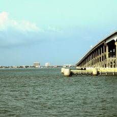
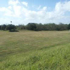
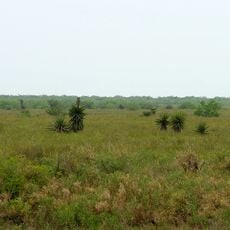
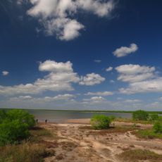
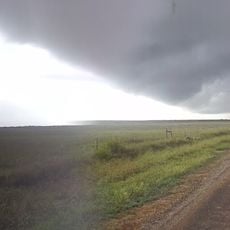
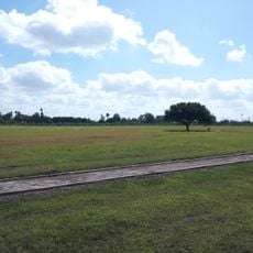
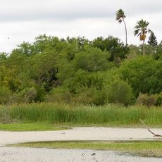
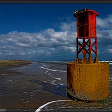
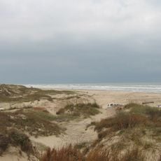
Willacy County is an administrative region in southern Texas with a coastline along the Gulf of Mexico. The landscape consists of agricultural land mixed with water, with Raymondville serving as its main town.

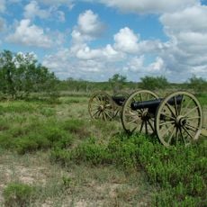
The Texas Legislature created this county in 1911 by dividing sections of neighboring counties and naming it after a state senator. This formation reflected the region's growing settlement and development at that time.

The community maintains strong Mexican cultural traditions visible in local celebrations, everyday customs, and how families gather in neighborhoods. These connections shape how people spend their time together throughout the year.

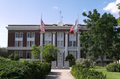
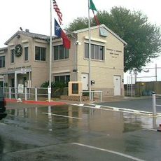
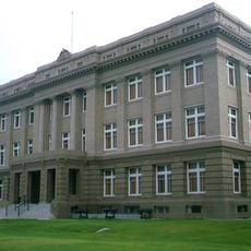
The county's main administration is based in Raymondville, where essential services and government offices are located. It helps to plan ahead when seeking specific services since the region is spread across a larger area.

An agricultural tradition rooted in early development continues to define the region: Bermuda onion farming began around that same time period and still draws attention through a yearly festival. This historical connection to the land remains visible in how locals remember their past.

The community of curious travelers

AroundUs brings together thousands of curated places, local tips, and hidden gems, enriched daily by 60,000 contributors worldwide.

Start exploring
Location
Inception
1911
Capital city
Raymondville
Shares border with
Kenedy County, Hidalgo County, Cameron County
GPS coordinates
26.49000,-97.60000
Latest update
December 7, 2025 10:08
Around this place
Queen Isabella Causeway
United States of America

Queen Isabella Causeway

60.9 km
Fort Brown
United States of America

Fort Brown

68 km
Gladys Porter Zoo
United States of America

Gladys Porter Zoo

65.1 km
Brownsville & Matamoros International Bridge
Mexico

Brownsville & Matamoros International Bridge

67.3 km
Palo Alto Battlefield National Historical Park
United States of America

Palo Alto Battlefield National Historical Park

52.8 km
Gateway International Bridge
Mexico

Gateway International Bridge

66.7 km
Laguna Atascosa National Wildlife Refuge
United States of America

Laguna Atascosa National Wildlife Refuge

31.4 km
Lower Rio Grande Valley National Wildlife Refuge
United States of America

Lower Rio Grande Valley National Wildlife Refuge

42 km
STARGATE
United States of America

STARGATE

69.7 km
Pier 19
United States of America

Pier 19

62.8 km
Isla Blanca Park
United States of America

Isla Blanca Park

64 km
Point Isabel Lighthouse
United States of America

Point Isabel Lighthouse

60.3 km
Palmito Ranch Battlefield
United States of America

Palmito Ranch Battlefield

68.2 km
Parque Olímpico
Mexico

Parque Olímpico

68 km
Our Lady of Refuge Cathedral, Matamoros
Mexico

Our Lady of Refuge Cathedral, Matamoros

68.6 km
Immaculate Conception Cathedral
United States of America

Immaculate Conception Cathedral

66.2 km
Resaca de la Palma Battlefield
United States of America

Resaca de la Palma Battlefield

62.5 km
Estero Llano Grande State Park
United States of America

Estero Llano Grande State Park

54 km
Cameron County Courthouse
United States of America

Cameron County Courthouse

66.1 km
United States Court House, Custom House, and Post Office
United States of America

United States Court House, Custom House, and Post Office

66.2 km
Old Lyford High School
United States of America

Old Lyford High School

21.5 km
Museo del Ferrocarril de Matamoros
Mexico

Museo del Ferrocarril de Matamoros

67.9 km
Isla Blanca Beach
United States of America

Isla Blanca Beach

64.4 km
Iwo Jima Museum Gift Shop
United States of America

Iwo Jima Museum Gift Shop

30.4 km
Brownsville Heritage Museum
United States of America

Brownsville Heritage Museum

66.4 km
Beach Park At Isla Blanca
United States of America

Beach Park At Isla Blanca

63.3 km
Boca Chica State Park
United States of America

Boca Chica State Park

70.8 km
Del Mar Beach
United States of America

Del Mar Beach

68 km
Show the full map
Administrative divisions
« Willacy County - Administrative jurisdiction in South Texas, United States » is provided by Around Us (aroundus.com). Images and texts are derived from Wikimedia project under a Creative Commons license. You are allowed to copy, distribute, and modify copies of this page, under the conditions set by the license, as long as this note is clearly visible.

Discover hidden gems everywhere you go!

From secret cafés to breathtaking viewpoints, skip the crowded tourist spots and find places that match your style. Our app makes it easy with voice search, smart filtering, route optimization, and insider tips from travelers worldwide. Download now for the complete mobile experience.

Around Us App Screenshot

A unique approach to discovering new places

Le Figaro

All the places worth exploring

France Info

A tailor-made excursion in just a few clicks

20 Minutes

Around Us
Travel Guide & Maps
Download

Send to your phone

QR Code
1

Open the camera app on your mobile.

2

Point at the QR code with your camera. A notification will appear.

3

Tap the notification to open the link.