Enable Location

We need your location to show you interesting places around you

Discover nearby places

Find interesting locations and hidden gems around you

Precise directions

Get accurate directions and distances to places

Your location is never shared with other users. It's only used when you tap the location button.

Real County

Log in to your account

Start exploring — it's free

Trusted by 62,491 travelers worldwide

Continue with Google
Continue with Apple
or

We will send you a code to connect

By continuing, you accept our Terms and Conditions and our Privacy Policy

Check your inbox

We've sent a pincode in your inbox. Please enter the code below.

Real County, Administrative division in Texas, United States.

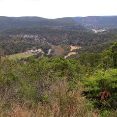
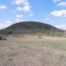
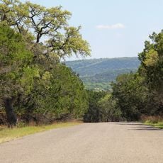
Real County is an administrative division in southwest Texas featuring dissected canyonlands that lie between Edwards County and Uvalde County. The terrain ranges from around 1,500 to 2,400 feet (460 to 730 meters) in elevation, with limestone formations defining the landscape.

The area was established in 1913 by the Texas Legislature and named after Julius Real, who served as the only Republican member of the Texas State Senate. This naming choice honored his political service during that era.

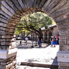
The limestone canyons along the Nueces and Frio rivers hold numerous rock art sites left by Tonkawa and Lipan Apache peoples. These locations show the deep connection between Indigenous nations and this landscape over centuries.

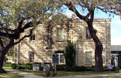
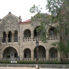
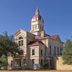
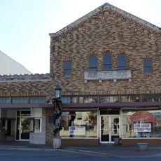
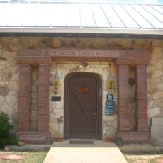
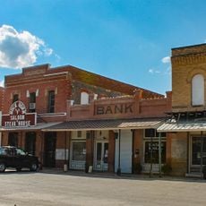
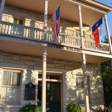
The area has two public libraries and a courthouse in Leakey as central facilities. Visitors can reach out to the Frio Canyon and Nueces Canyon Chambers of Commerce for local information and guidance.

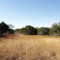
Both the Frio and Nueces rivers originate from natural springs in limestone formations within the area. These water sources create a surprisingly green landscape within an otherwise drier region.

The community of curious travelers

AroundUs brings together thousands of curated places, local tips, and hidden gems, enriched daily by 60,000 contributors worldwide.

Start exploring
GPS coordinates
29.79494,-99.82809
Latest update
December 7, 2025 20:44
Around this place
Garner State Park
United States of America

Garner State Park

25.1 km
Lost Maples State Natural Area
United States of America

Lost Maples State Natural Area

23.8 km
Fort Clark
United States of America

Fort Clark

79.1 km
Sleeping Spring Draw
United States of America

Sleeping Spring Draw

72.7 km
Stonehenge II
United States of America

Stonehenge II

63.9 km
Fort Inge
United States of America

Fort Inge

68.8 km
Hill Country State Natural Area
United States of America

Hill Country State Natural Area

65.3 km
John Nance Garner House
United States of America

John Nance Garner House

64.9 km
Kerrville-Schreiner Park
United States of America

Kerrville-Schreiner Park

72.4 km
Capt. Charles Schreiner Mansion
United States of America

Capt. Charles Schreiner Mansion

72.1 km
The Coming King Sculpture Prayer Gardens
United States of America

The Coming King Sculpture Prayer Gardens

75.3 km
Grand Opera House
United States of America

Grand Opera House

65.2 km
Bandera County Courthouse and Jail
United States of America

Bandera County Courthouse and Jail

73.4 km
Masonic Building
United States of America

Masonic Building

72 km
Edwards County Courthouse and Jail
United States of America

Edwards County Courthouse and Jail

44.2 km
Jureczki House
United States of America

Jureczki House

73.2 km
State Highway 3 Bridge at the Nueces River
United States of America

State Highway 3 Bridge at the Nueces River

66 km
Uvalde Downtown Historic District
United States of America

Uvalde Downtown Historic District

65.3 km
Old Huffmeyer Store
United States of America

Old Huffmeyer Store

73.6 km
Pampell's Opera House
United States of America

Pampell's Opera House

71.9 km
Frontier Times Museum
United States of America

Frontier Times Museum

73.5 km
Raye Theater
United States of America

Raye Theater

82.9 km
St. Philip's Episcopal Church
United States of America

St. Philip's Episcopal Church

64.8 km
Kimble County Courthouse
United States of America

Kimble County Courthouse

77.5 km
Combination Building
United States of America

Combination Building

25.1 km
D'Hanis Historic District
United States of America

D'Hanis Historic District

75.5 km
Nicolas Street School
United States of America

Nicolas Street School

66.1 km
Guthrie Building
United States of America

Guthrie Building

72.1 km
Show the full map
« Real County - Administrative division in Texas, United States » is provided by Around Us (aroundus.com). Images and texts are derived from Wikimedia project under a Creative Commons license. You are allowed to copy, distribute, and modify copies of this page, under the conditions set by the license, as long as this note is clearly visible.

Discover hidden gems everywhere you go!

From secret cafés to breathtaking viewpoints, skip the crowded tourist spots and find places that match your style. Our app makes it easy with voice search, smart filtering, route optimization, and insider tips from travelers worldwide. Download now for the complete mobile experience.

Around Us App Screenshot

A unique approach to discovering new places

Le Figaro

All the places worth exploring

France Info

A tailor-made excursion in just a few clicks

20 Minutes

Around Us
Travel Guide & Maps
Download

Send to your phone

QR Code
1

Open the camera app on your mobile.

2

Point at the QR code with your camera. A notification will appear.

3

Tap the notification to open the link.