Matagorda County

Log in to your account

AroundUs is a community-driven map of interesting places, built by curious explorers like you. It grows with every review, story, and photo you share.
Connect to save your favorite spots, contribute locations, and create personalized routes.
By continuing, you accept our Terms and Conditions and our Privacy Policy
Add to collection
Map
Suggest a change
Share

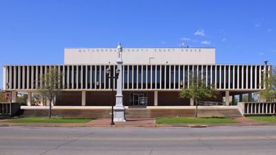
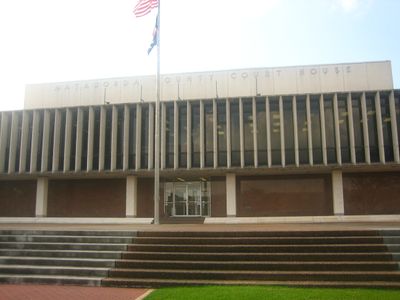
Matagorda County, Administrative division in Texas Gulf Coast, United States.

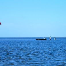
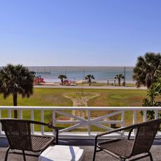
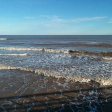
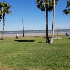
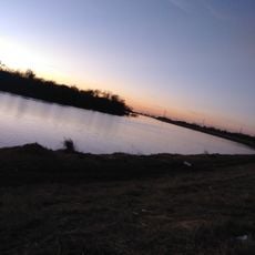
Matagorda County is an administrative division on the Texas Gulf Coast that encompasses several cities and communities. The area includes a network of rivers, bays, and coastal waterways that define the landscape.

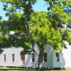
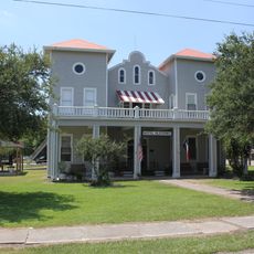
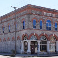
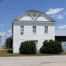
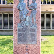
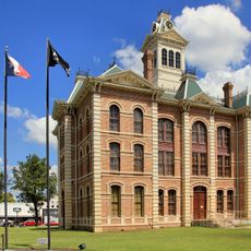
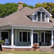
The name comes from Spanish words referring to the thick canebrakes that once covered the coastal landscape. Settlement began in the 1830s and the region played a key role in early Texas coastal development.

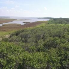
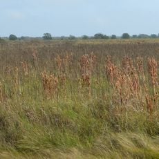
The county maintains multiple wildlife refuges, including Big Boggy and San Bernard, which support local environmental education and conservation efforts.

This area is best explored by car, as towns are spread across the region. Visitors should plan for travel time and check local conditions before visiting different parts.

A nuclear power facility operates within the county's boundaries and contributes significantly to Texas energy production. This industrial aspect contrasts with the otherwise rural and natural landscape of the region.

Location: Texas

Inception: March 6, 1834

Capital city: Bay City

Shares border with: Wharton County, Brazoria County, Calhoun County, Jackson County

Website: http://co.matagorda.tx.us

GPS coordinates: 28.78000,-96.00000

Latest update: December 7, 2025 10:06

Photos
Around this place
Show the full map
Texas Coastal Bend
United States of America

Texas Coastal Bend

57.6 km
Varner–Hogg Plantation State Historical Site
United States of America

Varner–Hogg Plantation State Historical Site

55.2 km
Great Texas Coastal Birding Trail
United States of America

Great Texas Coastal Birding Trail

24.5 km
Levi Jordan Plantation
United States of America

Levi Jordan Plantation

42.2 km
San Bernard National Wildlife Refuge
United States of America

San Bernard National Wildlife Refuge

46.5 km
Durazno Plantation
United States of America

Durazno Plantation

57.2 km
Hotel Blessing
United States of America

Hotel Blessing

23.9 km
Luther Hotel
United States of America

Luther Hotel

22.9 km
Hopper Field
United States of America

Hopper Field

64.1 km
Matagorda Beach
United States of America

Matagorda Beach

20.6 km
Alden B. Dow Office and Lake Jackson City Hall
United States of America

Alden B. Dow Office and Lake Jackson City Hall

61.1 km
King Fisher Beach
United States of America

King Fisher Beach

53.8 km
Old First Methodist Episcopal Church South
United States of America

Old First Methodist Episcopal Church South

60 km
Hensley-Gusman House
United States of America

Hensley-Gusman House

22.9 km
Ammon Underwood House
United States of America

Ammon Underwood House

54.6 km
Wharton County Courthouse Historic Commercial District
United States of America

Wharton County Courthouse Historic Commercial District

59.9 km
R. J. Hill Building
United States of America

R. J. Hill Building

22.8 km
Blessing Masonic Lodge No. 411
United States of America

Blessing Masonic Lodge No. 411

23.9 km
Matagorda County Monument
United States of America

Matagorda County Monument

22.8 km
Ten Pin Entertainment
United States of America

Ten Pin Entertainment

69.1 km
El Campo Bowling Center
United States of America

El Campo Bowling Center

54 km
Wharton County Courthouse
United States of America

Wharton County Courthouse

59.9 km
Lake Jackson Freeport Beach
United States of America

Lake Jackson Freeport Beach

64.9 km
Plaza Theatre
United States of America

Plaza Theatre

59.8 km
Colorado River Bridge
United States of America

Colorado River Bridge

59.7 km
Gazebo for James Richard Marmion
United States of America

Gazebo for James Richard Marmion

45.2 km
Price-Farwell House
United States of America

Price-Farwell House

22.8 km
Bay City USO Building
United States of America

Bay City USO Building

22.9 km
Show the full map
Reviews

Visited this place? Tap the stars to rate it and share your experience / photos with the community! Try now! You can cancel it anytime.

« Matagorda County - Administrative division in Texas Gulf Coast, United States » is provided by Around Us (aroundus.com). Images and texts are derived from Wikimedia project under a Creative Commons license. You are allowed to copy, distribute, and modify copies of this page, under the conditions set by the license, as long as this note is clearly visible.

Discover hidden gems everywhere you go!

From secret cafés to breathtaking viewpoints, skip the crowded tourist spots and find places that match your style. Our app makes it easy with voice search, smart filtering, route optimization, and insider tips from travelers worldwide. Download now for the complete mobile experience.

Around Us App Screenshot

A unique approach to discovering new places

Le Figaro

All the places worth exploring

France Info

A tailor-made excursion in just a few clicks

20 Minutes