
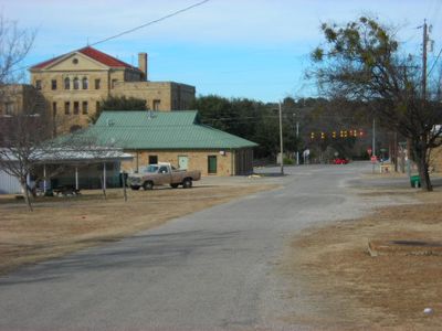
Palo Pinto, unincorporated town in Texas, USA
Location: Palo Pinto County
Elevation above the sea: 328 m
GPS coordinates: 32.76722,-98.29861
Latest update: June 19, 2025 22:39
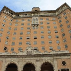
Baker Hotel
18.1 km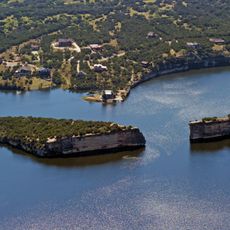
Possum Kingdom Lake
16.8 km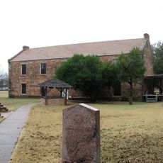
Fort Belknap
59.4 km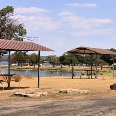
Possum Kingdom State Park
28 km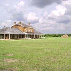
Fort Richardson
50.6 km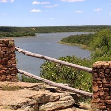
Lake Mineral Wells State Park & Trailway
26.7 km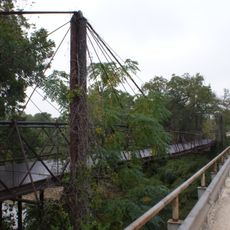
Bluff Dale Suspension Bridge
52.6 km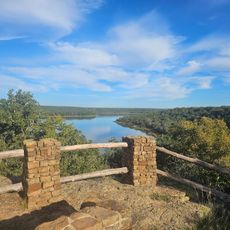
State park swim beach
24.8 km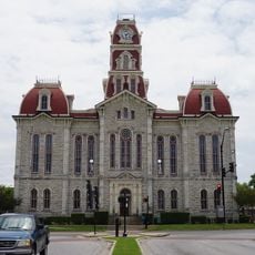
Parker County Courthouse
47 km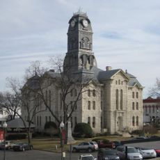
Hood County Courthouse Historic District
60.3 km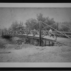
Barton Creek Bridge
29.5 km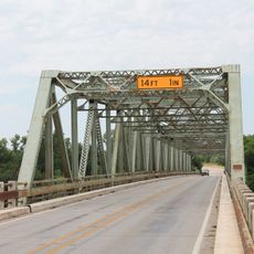
US 281 Bridge at the Brazos River
23.3 km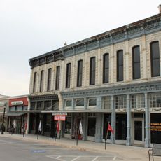
Weatherford Downtown Historic District
47 km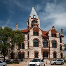
Erath County Courthouse
61.6 km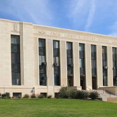
Jack County Courthouse
52 km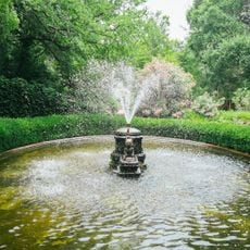
Chandor Gardens
46 km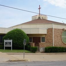
First Presbyterian Church
17.8 km
Erath Memorial Arch
61.7 km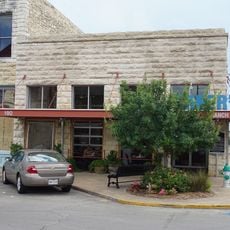
Dawson Saloon
61.6 km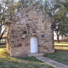
Fort Belknap Historic Site
59.4 km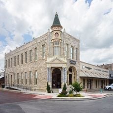
First National Bank Building
61.6 km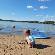
Sandy Beach
25.2 km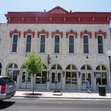
Granbury Opera House
60.1 km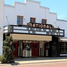
National Theater
46.6 km
Granbury Live Theatre
60.1 km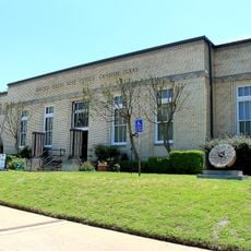
Old Post Office Museum & Art Center
46.5 km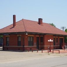
Granbury Railroad Depot
59.7 km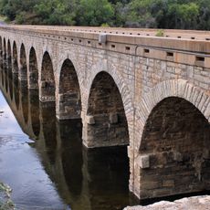
Possum Kingdom Bridge
14.7 kmReviews
Visited this place? Tap the stars to rate it and share your experience / photos with the community! Try now! You can cancel it anytime.
Discover hidden gems everywhere you go!
From secret cafés to breathtaking viewpoints, skip the crowded tourist spots and find places that match your style. Our app makes it easy with voice search, smart filtering, route optimization, and insider tips from travelers worldwide. Download now for the complete mobile experience.

A unique approach to discovering new places❞
— Le Figaro
All the places worth exploring❞
— France Info
A tailor-made excursion in just a few clicks❞
— 20 Minutes