Enable Location

We need your location to show you interesting places around you

Discover nearby places

Find interesting locations and hidden gems around you

Precise directions

Get accurate directions and distances to places

Your location is never shared with other users. It's only used when you tap the location button.

Young County

Log in to your account

Start exploring — it's free

Trusted by 61,464 travelers worldwide

Continue with Google
Continue with Apple
or

We will send you a code to connect

By continuing, you accept our Terms and Conditions and our Privacy Policy

Check your inbox

We've sent a pincode in your inbox. Please enter the code below.

Young County, Administrative division in north central Texas, United States

Description

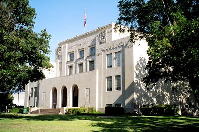
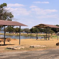
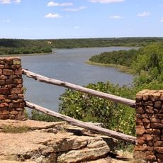
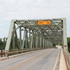
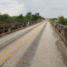
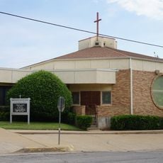
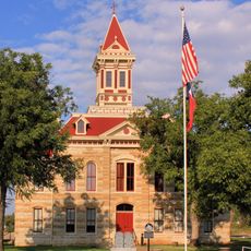
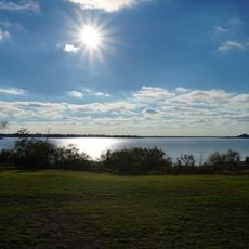
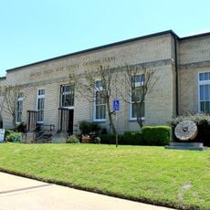
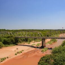
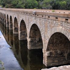
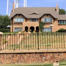
Young County is an administrative division in north central Texas that covers rolling rural landscape with Graham positioned as the county seat in the southeastern portion. The territory is characterized by open land, scattered settlements, and agricultural areas spread throughout.

History

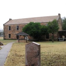
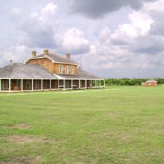
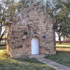
The county was established in 1856 from portions of Bosque and Fannin Counties and named after William Cocke Young, an early Texas settler. This came shortly after Fort Belknap was built in 1851 to serve as a frontier outpost.

Culture

Native American communities left a lasting mark on how people in the region understand their past, with Delaware, Shawnee, and Wichita peoples having lived here and shaped the land. You can still feel this heritage in local stories and how residents connect with their surroundings.

Practical

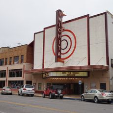
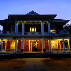
Visitors should head to Graham as the main hub where most services and shops are located, from which to explore the surrounding areas. The best time to visit is during spring or fall when temperatures are comfortable for getting around and spending time outdoors.

Did you know?

Fort Belknap was more than just a military post—during the Civil War it changed hands between Confederate and Union forces multiple times. The shifting control of this fort makes it a rare location that housed soldiers from both sides of the conflict.

GPS coordinates
33.15083,-98.69628
Latest update
December 7, 2025 20:24

AroundUs brings together thousands of curated places, local tips, and hidden gems, enriched daily by 60,000 contributors worldwide. Discover all places nearby (Young County).

Around this place
Professional Wrestling Hall of Fame and Museum
United States of America

Professional Wrestling Hall of Fame and Museum

86.8 km
Fort Belknap
United States of America

Fort Belknap

4.2 km
Possum Kingdom State Park
United States of America

Possum Kingdom State Park

33.8 km
Fort Richardson
United States of America

Fort Richardson

49.9 km
Memorial Stadium
United States of America

Memorial Stadium

79 km
Lake Mineral Wells State Park & Trailway
United States of America

Lake Mineral Wells State Park & Trailway

70.5 km
Wichita Falls Railroad Museum
United States of America

Wichita Falls Railroad Museum

87 km
The Kell House
United States of America

The Kell House

86.2 km
Call Field
United States of America

Call Field

81.3 km
Barton Creek Bridge
United States of America

Barton Creek Bridge

78.7 km
Shackelford County Courthouse Historic District
United States of America

Shackelford County Courthouse Historic District

73.6 km
US 281 Bridge at the Brazos River
United States of America

US 281 Bridge at the Brazos River

79.5 km
Beaver Creek Bridge
United States of America

Beaver Creek Bridge

86.2 km
Archer County Courthouse and Jail
United States of America

Archer County Courthouse and Jail

49.9 km
Jack County Courthouse
United States of America

Jack County Courthouse

50.7 km
First Presbyterian Church
United States of America

First Presbyterian Church

66.1 km
Throckmorton County Courthouse and Jail
United States of America

Throckmorton County Courthouse and Jail

45 km
Fort Belknap Historic Site
United States of America

Fort Belknap Historic Site

4.2 km
Wichita Theatre and Opera House
United States of America

Wichita Theatre and Opera House

86.8 km
Kell House Museum
United States of America

Kell House Museum

86.3 km
National Theater
United States of America

National Theater

11 km
Lake Wichita
United States of America

Lake Wichita

77.2 km
Morningside Historic District
United States of America

Morningside Historic District

85.5 km
Old Post Office Museum & Art Center
United States of America

Old Post Office Museum & Art Center

11.1 km
Depot Square Historic District
United States of America

Depot Square Historic District

87.1 km
State Highway 120 Bridge at the Brazos River
United States of America

State Highway 120 Bridge at the Brazos River

6.2 km
Possum Kingdom Bridge
United States of America

Possum Kingdom Bridge

42 km
Breckenridge Stephens Walker Home
United States of America

Breckenridge Stephens Walker Home

47.1 km
Show the full map
« Young County - Administrative division in north central Texas, United States » is provided by Around Us (aroundus.com). Images and texts are derived from Wikimedia project under a Creative Commons license. You are allowed to copy, distribute, and modify copies of this page, under the conditions set by the license, as long as this note is clearly visible.

Discover hidden gems everywhere you go!

From secret cafés to breathtaking viewpoints, skip the crowded tourist spots and find places that match your style. Our app makes it easy with voice search, smart filtering, route optimization, and insider tips from travelers worldwide. Download now for the complete mobile experience.

Around Us App Screenshot

A unique approach to discovering new places

Le Figaro

All the places worth exploring

France Info

A tailor-made excursion in just a few clicks

20 Minutes

Around Us
Travel Guide & Maps
Download

Send to your phone

QR Code
1

Open the camera app on your mobile.

2

Point at the QR code with your camera. A notification will appear.

3

Tap the notification to open the link.