
Grayson County, Administrative division in North Texas, United States.
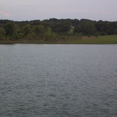
Grayson County encompasses 979 square miles of territory along the Texas-Oklahoma border, featuring the Red River and Lake Texoma within its boundaries.
The Peters Colony initiative of the 1840s prompted settlement near the Red River, leading to the establishment of Grayson County from Fannin County in 1846.
The Eisenhower Birthplace State Historic Site preserves the residence where President Dwight D. Eisenhower entered the world, offering educational tours and exhibits.
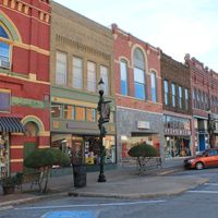
The North Texas Regional Airport serves the county's transportation needs while the Sherman-Denison area functions as the primary commercial and administrative center.
This Texas county maintains an exclusive regulation permitting deer hunting exclusively with bow and arrow equipment throughout all hunting seasons.
Location: Texas
Inception: March 17, 1846
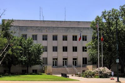
Capital city: Sherman
Shares border with: Marshall County, Bryan County, Fannin County, Collin County, Denton County, Cooke County, Love County
Website: http://co.grayson.tx.us
GPS coordinates: 33.62000,-96.68000
Latest update: May 27, 2025 07:10
Lake Texoma
25.7 km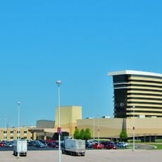
Choctaw Casino Resort
44.4 km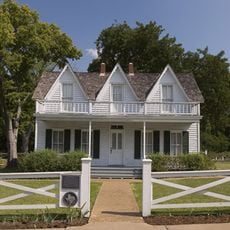
Eisenhower Birthplace State Historic Site
19.7 km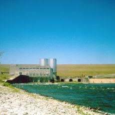
Denison Dam
24.2 km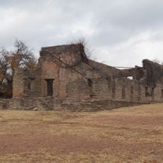
Fort Washita
55.2 km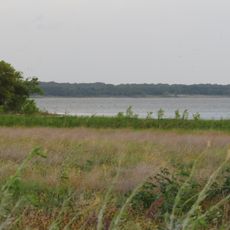
Hagerman National Wildlife Refuge
14.6 km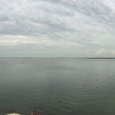
Eisenhower State Park
23.1 km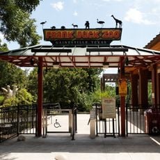
Frank Buck Zoo
44 km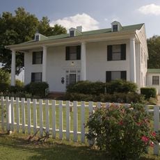
Sam Rayburn House Museum
44.2 km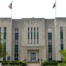
Fannin County Courthouse
46.7 km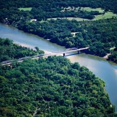
State Highway No. 78 Bridge at the Red River
47.2 km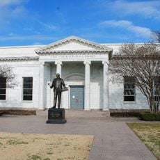
Sam Rayburn Library and Museum
45.9 km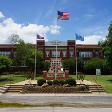
Oklahoma Presbyterian College
49.9 km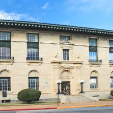
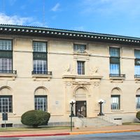
Paul Brown Federal Building and United States Courthouse
6.9 km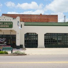
Three Valley Museum
49.8 km
Robert E. Lee School
49.3 km
Bryan County Courthouse
49.9 km
Locke Field
43.4 km
Marshall County Courthouse
53.1 km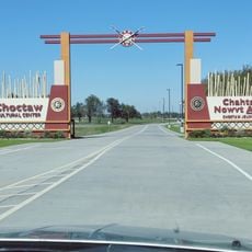
Choctaw Cultural Center
45.3 km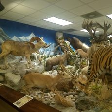
Harber Wildlife Museum
11.6 km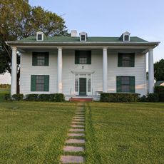
Sam Rayburn House State Historic Site
44.2 km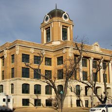
Cooke County Courthouse
43.1 km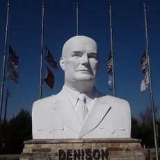
Eisenhower Veterans Monument
14.9 km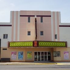
State Theater
43 km
Bonham State Park Boathouse
50.2 km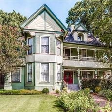
McClellan-Cunningham House
46.4 km
Choctaw Creek Bridge
18.8 kmReviews
Visited this place? Tap the stars to rate it and share your experience / photos with the community! Try now! You can cancel it anytime.
Discover hidden gems everywhere you go!
From secret cafés to breathtaking viewpoints, skip the crowded tourist spots and find places that match your style. Our app makes it easy with voice search, smart filtering, route optimization, and insider tips from travelers worldwide. Download now for the complete mobile experience.

A unique approach to discovering new places❞
— Le Figaro
All the places worth exploring❞
— France Info
A tailor-made excursion in just a few clicks❞
— 20 Minutes