Denison Dam, Embankment dam across Bryan County, Oklahoma and Grayson County, Texas, United States.
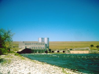
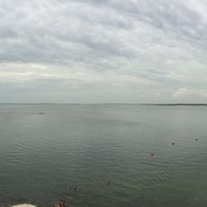
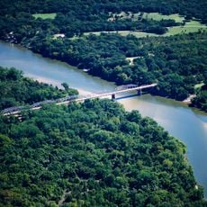
Denison Dam is an earthen embankment dam built across the Red River on the border between Oklahoma and Texas, forming Lake Texoma. The dam is roughly a mile (1.6 km) long and is one of the largest earthen dams in the United States, built for flood control and power generation.
Work on the dam started in 1939 as part of a federal effort to tame the Red River, which had caused repeated flooding across the surrounding region for generations. The project was completed in 1944, with the final years of construction coinciding with World War II.
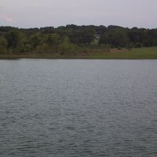
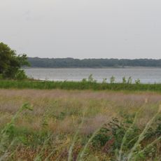
The dam sits on the state line between Oklahoma and Texas, and visitors can walk across it and stand in two states at once. The lake it created, Lake Texoma, draws people from both sides of the border for fishing and outdoor recreation.
The dam is accessible by road and sits between the city of Denison, Texas and the Oklahoma side of Lake Texoma, making a car the easiest way to get there. Several parks and recreation areas surround the lake on both sides, so it is worth planning for at least half a day.
During the final years of construction, prisoners of war from North Africa were brought in to work on the site, an unusual detail for an American infrastructure project of that era. Their presence connected a remote corner of the American South directly to the wider events of World War II.
The community of curious travelers
AroundUs brings together thousands of curated places, local tips, and hidden gems, enriched daily by 60,000 contributors worldwide.