Chest opened
+${chestReward.xp} XP
Explorer
NOUVEAU ×${chestReward.collectible.quantity}
tapez pour fermer

See the monuments around you in AR Open chests in the app

Around Us is built for your phone — point your camera at the streets and discover the monuments and places around you in augmented reality. Around Us is built for your phone — chests unlock when you walk, explore and capture nearby places.

Enable Location

We need your location to show you interesting places around you

Discover nearby places

Find interesting locations and hidden gems around you

Precise directions

Get accurate directions and distances to places

Your location is never shared with other users. It's only used when you tap the location button.

Mesquite Tower

Log in to your account

Start exploring — it's free

Trusted by 84,997 travelers worldwide

Continue with Google
Continue with Apple
or

We will send you a code to connect

By continuing, you accept our Terms and Conditions and our Privacy Policy

Check your inbox

We've sent a pincode in your inbox. Please enter the code below.

Mesquite Tower
Discussion Reviews 1 Photos
3.3k Popularity

Mesquite Tower, Radio tower in Mesquite, United States

Mesquite Tower is a free-standing lattice tower located between West Mesquite High School and Memorial Stadium in Texas. The structure reaches 510 feet (155 meters) with three legs that converge in its lower third before continuing upward.

The tower was built in 1990 by Landmark Tower Company of Fort Worth based on a design concept that began with a fish sketch on a napkin. This unusual origin led to an innovative construction approach for its era.

The structure serves as the broadcasting point for KEOM, a 61,000-watt radio station operated by the Mesquite Independent School District for educational programming.

The tower stands on school property and is visible from nearby roads. While the site is primarily used for school activities, the structure can be viewed from a distance.

The tower uses an Adelphon design with outer cables extending to the top while inner sections form a central oval core. This engineering approach significantly reduces both wind resistance and steel requirements.

The community of curious travelers

AroundUs brings together thousands of curated places, local tips, and hidden gems, enriched daily by 60,000 contributors worldwide.
Start exploring
Location
GPS coordinates
32.76280,-96.63470
Latest update
August 30, 2026 12:50
Around this place
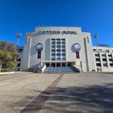
Cotton Bowl
United States of America

Cotton Bowl

7.4 mi
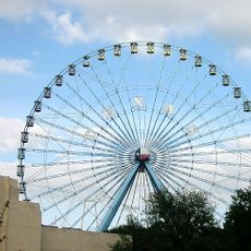
Big Tex
United States of America

Big Tex

7.5 mi
Fair Park
United States of America

Fair Park

7.4 mi
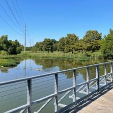
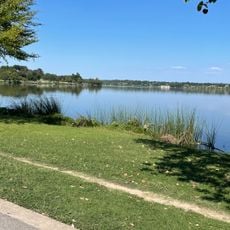
White Rock Lake
United States of America

White Rock Lake

7.1 mi
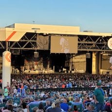
Gexa Energy Pavilion
United States of America

Gexa Energy Pavilion

7.1 mi
Dallas Arboretum and Botanical Garden
United States of America

Dallas Arboretum and Botanical Garden

6.3 mi
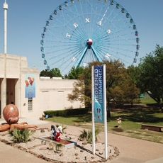
Texas Star
United States of America

Texas Star

7.3 mi
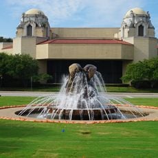
Music Hall at Fair Park
United States of America

Music Hall at Fair Park

7.7 mi
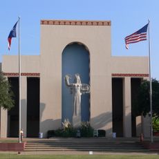
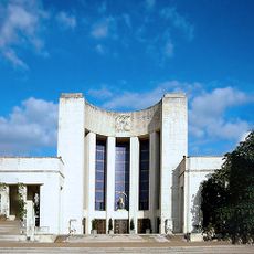
Hall of State
United States of America

Hall of State

7.4 mi
Swiss Avenue, Dallas
United States of America

Swiss Avenue, Dallas

8.1 mi
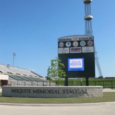
Memorial Stadium
United States of America

Memorial Stadium

0.1 mi
Trinity River Audubon Center
United States of America

Trinity River Audubon Center

5.8 mi
The Women's Museum
United States of America

The Women's Museum

7.7 mi
African American Museum of Dallas
United States of America

African American Museum of Dallas

7.6 mi
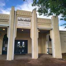
Bath House Cultural Center
United States of America

Bath House Cultural Center

7.1 mi
Children's Aquarium at Fair Park
United States of America

Children's Aquarium at Fair Park

7.4 mi
Munger Place Historic District, Dallas
United States of America

Munger Place Historic District, Dallas

7.9 mi
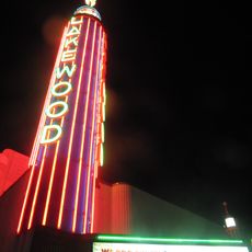
Lakewood Theater
United States of America

Lakewood Theater

7.7 mi
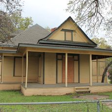
James H. and Molly Ellis House
United States of America

James H. and Molly Ellis House

7.4 mi
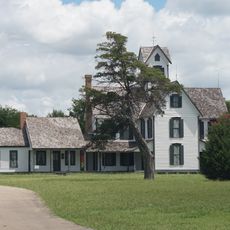
Stephen Decatur Lawrence Farmstead
United States of America

Stephen Decatur Lawrence Farmstead

2.7 mi
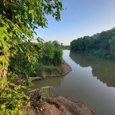
Trinity Forest Trail
United States of America

Trinity Forest Trail

7.2 mi
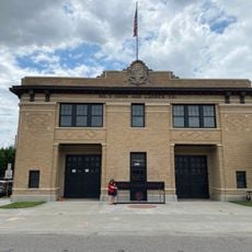
Dallas Firefighters Museum
United States of America

Dallas Firefighters Museum

7.8 mi
White Rock Lake Park
United States of America

White Rock Lake Park

8.3 mi
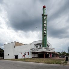
Forest Theatre
United States of America

Forest Theatre

8.2 mi
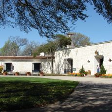
DeGolyer Estate
United States of America

DeGolyer Estate

6.3 mi
Texas Farm and Ranch Building
United States of America

Texas Farm and Ranch Building

8.3 mi
Romine Avenue Historic District
United States of America

Romine Avenue Historic District

7.6 mi
Levi-Topletz House
United States of America

Levi-Topletz House

7.9 mi
Show the full map
Reviews
Share your experience

No review yet

Discussions
Start a discussion...

No discussion yet

« Mesquite Tower - Radio tower in Mesquite, United States » is provided by Around Us (aroundus.com). Images and texts are derived from Wikimedia project under a Creative Commons license. You are allowed to copy, distribute, and modify copies of this page, under the conditions set by the license, as long as this note is clearly visible.

Discover hidden gems everywhere you go!

From secret cafés to breathtaking viewpoints, skip the crowded tourist spots and find places that match your style. Our app makes it easy with voice search, smart filtering, route optimization, and insider tips from travelers worldwide. Download now for the complete mobile experience.
Around Us App Screenshot

A unique approach to discovering new places

Le Figaro

All the places worth exploring

France Info

A tailor-made excursion in just a few clicks

20 Minutes

Around Us
Travel Guide & Maps
Download

Send to your phone

QR Code
1

Open the camera app on your mobile.

2

Point at the QR code with your camera. A notification will appear.

3

Tap the notification to open the link.