Enable Location

We need your location to show you interesting places around you

Discover nearby places

Find interesting locations and hidden gems around you

Precise directions

Get accurate directions and distances to places

Your location is never shared with other users. It's only used when you tap the location button.

Terrebonne Parish

Log in to your account

Start exploring — it's free

Trusted by 63,260 travelers worldwide

Continue with Google
Continue with Apple
or

We will send you a code to connect

By continuing, you accept our Terms and Conditions and our Privacy Policy

Check your inbox

We've sent a pincode in your inbox. Please enter the code below.

Discussion Reviews 4 Photos
43.1k Popularity

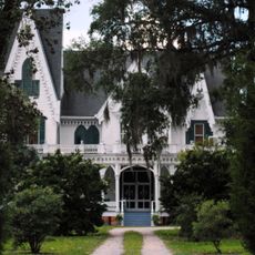
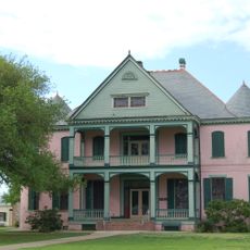
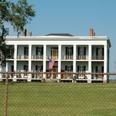
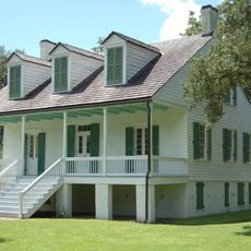
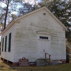
Terrebonne Parish, Administrative parish in southern Louisiana, US

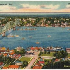
Terrebonne Parish is an administrative region in southeastern Louisiana with significant expanses of water and land. The territory features waterways, swamps, and bayous woven throughout, centered on the city of Houma.

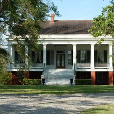
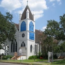
The region was established in 1822, taking its name from a French phrase meaning good land. French settlers were drawn here by the agricultural opportunities the area provided.

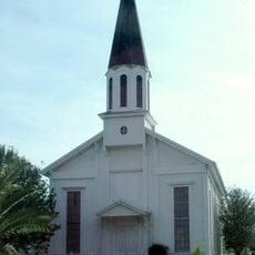
French traditions remain visible in how locals speak and celebrate throughout the year, with many residents using French in daily life. These customs shape the way the community gathers and marks important occasions.

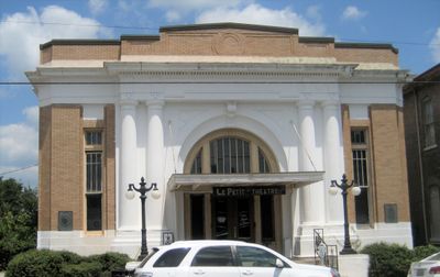
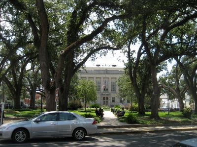
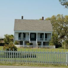
Houma serves as the main hub for services and is straightforward to navigate for visitors seeking directions or assistance. Lodging, dining, and local shops are concentrated in and around the city, making it easy to find what you need.

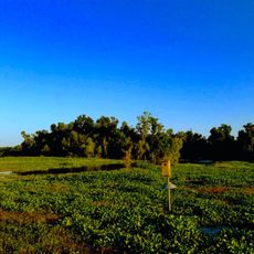
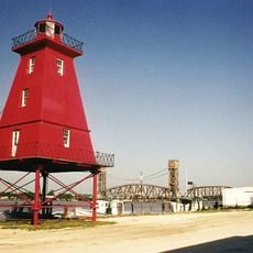
The area is laced with bayous and wetlands that support thriving fishing and shrimping traditions. These waterscapes continue to define how people work and live in the region.

The community of curious travelers

AroundUs brings together thousands of curated places, local tips, and hidden gems, enriched daily by 60,000 contributors worldwide.

Start exploring
Location
Inception
1822
Capital city
Houma
Shares border with
Assumption Parish, Lafourche Parish, St. Mary Parish
Website
GPS coordinates
29.34000,-90.84000
Latest update
December 14, 2025 21:10
Around this place
United States of America

Magnolia Plantation

41.8 km
Ardoyne Plantation House
United States of America

Ardoyne Plantation House

34.5 km
Southdown Plantation
United States of America

Southdown Plantation

29.3 km
Ducros Plantation
United States of America

Ducros Plantation

46.2 km
United States of America

Chacahoula Swamp Bridge

39.7 km
Edward Douglass White House
United States of America

Edward Douglass White House

47.3 km
Cathedral of St. Francis de Sales
United States of America

Cathedral of St. Francis de Sales

30.6 km
Mandalay National Wildlife Refuge
United States of America

Mandalay National Wildlife Refuge

20.9 km
Long-Allen Bridge
United States of America

Long-Allen Bridge

53.8 km
St. George Plantation House
United States of America

St. George Plantation House

44.5 km
Chatchie Plantation House
United States of America

Chatchie Plantation House

48.8 km
Orange Grove Plantation House
United States of America

Orange Grove Plantation House

27.7 km
Calumet Plantation House
United States of America

Calumet Plantation House

64 km
Residence Plantation House
United States of America

Residence Plantation House

32.2 km
United States of America

Pointe-aux-Chenes Wildlife Management Area

38.8 km
Gibson Methodist Episcopal Church
United States of America

Gibson Methodist Episcopal Church

41 km
Southwest Reef Light
United States of America

Southwest Reef Light

53.7 km
United States of America

E. J. "Lionel" Grizzaffi Bridge

53.7 km
St. Matthew's Episcopal Church
United States of America

St. Matthew's Episcopal Church

30.9 km
Bouverans Plantation House
United States of America

Bouverans Plantation House

45.6 km
Pharr Chapel United Methodist Church
United States of America

Pharr Chapel United Methodist Church

53.2 km
Louisiana State Museum – Patterson
United States of America

Louisiana State Museum – Patterson

57.9 km
Lefort House
United States of America

Lefort House

47.9 km
United States of America

Jean Baptiste Thibodaux House

48.8 km
Armitage
United States of America

Armitage

47.3 km
Atkinson Memorial Presbyterian Church
United States of America

Atkinson Memorial Presbyterian Church

52.6 km
Argyle
United States of America

Argyle

27.3 km
Berwick Bay Bridge
United States of America

Berwick Bay Bridge

53.3 km
Show the full map
Reviews
Share your experience

No review yet

Discussions
Start a discussion...

No discussion yet

« Terrebonne Parish - Administrative parish in southern Louisiana, US » is provided by Around Us (aroundus.com). Images and texts are derived from Wikimedia project under a Creative Commons license. You are allowed to copy, distribute, and modify copies of this page, under the conditions set by the license, as long as this note is clearly visible.

Discover hidden gems everywhere you go!

From secret cafés to breathtaking viewpoints, skip the crowded tourist spots and find places that match your style. Our app makes it easy with voice search, smart filtering, route optimization, and insider tips from travelers worldwide. Download now for the complete mobile experience.

Around Us App Screenshot

A unique approach to discovering new places

Le Figaro

All the places worth exploring

France Info

A tailor-made excursion in just a few clicks

20 Minutes

Around Us
Travel Guide & Maps
Download

Send to your phone

QR Code
1

Open the camera app on your mobile.

2

Point at the QR code with your camera. A notification will appear.

3

Tap the notification to open the link.