Enable Location

We need your location to show you interesting places around you

Discover nearby places

Find interesting locations and hidden gems around you

Precise directions

Get accurate directions and distances to places

Your location is never shared with other users. It's only used when you tap the location button.

Houma

Log in to your account

Start exploring — it's free

Trusted by 63,292 travelers worldwide

Continue with Google
Continue with Apple
or

We will send you a code to connect

By continuing, you accept our Terms and Conditions and our Privacy Policy

Check your inbox

We've sent a pincode in your inbox. Please enter the code below.

Discussion Reviews 6 Photos
88.4k Popularity

Houma, Administrative center in Terrebonne Parish, Louisiana, United States

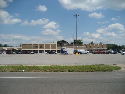
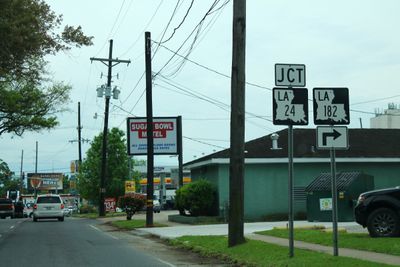
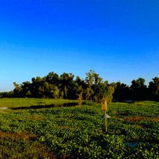
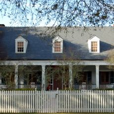
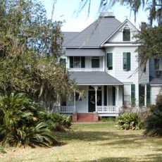
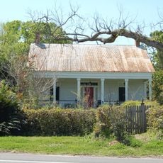
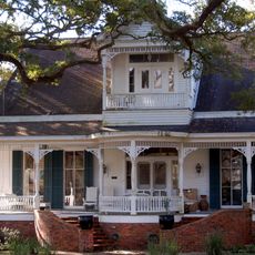
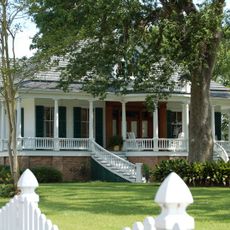
Houma is the administrative center of Terrebonne Parish in southern Louisiana, set within a wide network of waterways and marshland close to the Gulf coast. The entire municipal area spreads across a waterlogged region where bayous and narrow canals link clusters of homes and settlements.

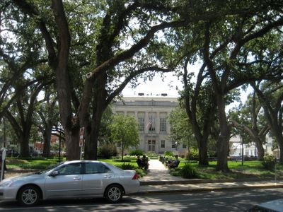
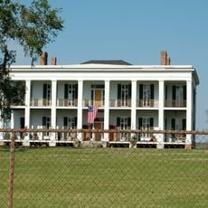
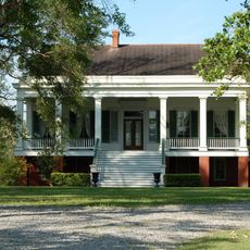
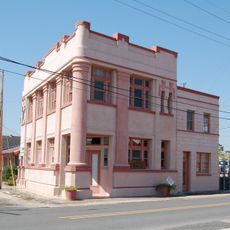
A permanent settlement took shape in the early 1830s when French-speaking colonists established themselves in this swampy territory previously inhabited by the Chitimacha and Houma peoples. The designation as parish seat was confirmed later that century, cementing its role as a regional hub.

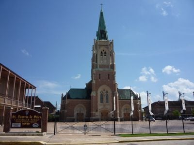
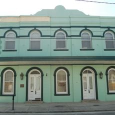
The name comes from the Houma people, who once lived along these coastal waterways and left their mark on local place names. French linguistic influence remains audible in the speech patterns and surnames of many residents today.

A small regional airport nearby offers connections to larger hubs, while drivers reach the area via overland highways. The focus lies on boat tours and excursions along the bayous, which work best during dry weather periods.

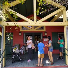
A well-marked trail with four dozen stops guides visitors to small businesses and stalls where fresh crawfish are sold directly by fishermen. Many locations allow you to watch the preparation on site and buy traditional spice blends.

The community of curious travelers

AroundUs brings together thousands of curated places, local tips, and hidden gems, enriched daily by 60,000 contributors worldwide.

Start exploring
Inception
1834
Elevation above the sea
3 m
GPS coordinates
29.59578,-90.71953
Latest update
December 17, 2025 07:30
Around this place
United States of America

Magnolia Plantation

16.4 km
Ardoyne Plantation House
United States of America

Ardoyne Plantation House

11.3 km
Southdown Plantation
United States of America

Southdown Plantation

2.2 km
Ducros Plantation
United States of America

Ducros Plantation

20 km
United States of America

Chacahoula Swamp Bridge

18.5 km
Edward Douglass White House
United States of America

Edward Douglass White House

17.6 km
Cathedral of St. Francis de Sales
United States of America

Cathedral of St. Francis de Sales

302 m
Mandalay National Wildlife Refuge
United States of America

Mandalay National Wildlife Refuge

11.4 km
St. George Plantation House
United States of America

St. George Plantation House

18.1 km
Chatchie Plantation House
United States of America

Chatchie Plantation House

20.4 km
Orange Grove Plantation House
United States of America

Orange Grove Plantation House

10.1 km
Residence Plantation House
United States of America

Residence Plantation House

3 km
St. Matthew's Episcopal Church
United States of America

St. Matthew's Episcopal Church

133 m
Bouverans Plantation House
United States of America

Bouverans Plantation House

20.8 km
Lefort House
United States of America

Lefort House

19.4 km
United States of America

Jean Baptiste Thibodaux House

18.1 km
Argyle
United States of America

Argyle

4 km
Clifford Percival Smith House
United States of America

Clifford Percival Smith House

443 m
United States of America

Ledet House

17.5 km
Merchants and Planters Bank
United States of America

Merchants and Planters Bank

18.4 km
Zephirin Toups Sr. House
United States of America

Zephirin Toups Sr. House

15.1 km
Bank of Lockport
United States of America

Bank of Lockport

18.4 km
Bayou Terrebonne Waterlife Museum
United States of America

Bayou Terrebonne Waterlife Museum

307 m
Chauvin Sculpture Garden & Art
United States of America

Chauvin Sculpture Garden & Art

20.9 km
Wesley House
United States of America

Wesley House

1 km
United States of America

Houma Historic District

262 m
United States of America

Colonial Acres Golf Course

3.9 km
United States of America

Greenwood Gator Farm

17.9 km
Show the full map
Reviews
Share your experience

No review yet

Discussions
Start a discussion...

No discussion yet

« Houma - Administrative center in Terrebonne Parish, Louisiana, United States » is provided by Around Us (aroundus.com). Images and texts are derived from Wikimedia project under a Creative Commons license. You are allowed to copy, distribute, and modify copies of this page, under the conditions set by the license, as long as this note is clearly visible.

Discover hidden gems everywhere you go!

From secret cafés to breathtaking viewpoints, skip the crowded tourist spots and find places that match your style. Our app makes it easy with voice search, smart filtering, route optimization, and insider tips from travelers worldwide. Download now for the complete mobile experience.

Around Us App Screenshot

A unique approach to discovering new places

Le Figaro

All the places worth exploring

France Info

A tailor-made excursion in just a few clicks

20 Minutes

Around Us
Travel Guide & Maps
Download

Send to your phone

QR Code
1

Open the camera app on your mobile.

2

Point at the QR code with your camera. A notification will appear.

3

Tap the notification to open the link.