11th Ward of New Orleans, Historic ward district in Uptown New Orleans, Louisiana.
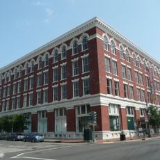
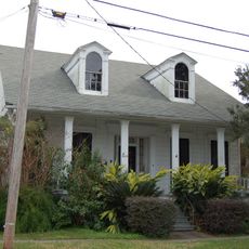
The 11th Ward is a broad neighborhood district that runs from the Mississippi River to Martin Luther King Jr. Boulevard and includes parts of the Garden District. Its layout features tree-lined streets, elevated homes built to avoid flooding, and blocks of older residential and commercial structures mixed throughout.
The ward's boundaries were set during New Orleans' government reorganization in 1852 and stabilized into their current form by the 1880s. Its later development included significant public housing projects that reshaped how residents lived and how the neighborhood developed over the following decades.
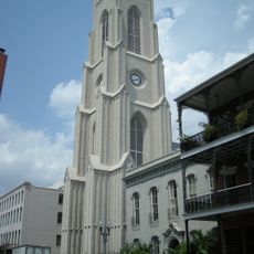
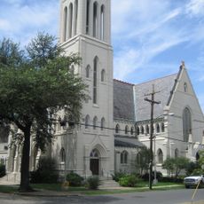
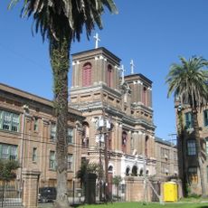
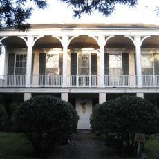
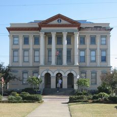
The ward reflects the city's heritage through European-influenced mansions and Victorian homes that line its streets and define its character. Visitors can see how the residents take pride in maintaining these architectural styles and the surrounding gardens that speak to generations of settlement here.
The ward is best explored by starting at First Street or Toledano Street, which serve as clear boundary markers and orientation points for navigating the area. Since the district covers a large territory, it works best to visit specific neighborhoods within it rather than trying to see everything in one trip.
The ward once contained the Magnolia Projects, a major public housing complex that shaped how working-class residents lived and organized their community life. Though the complex was eventually demolished, its legacy remains deeply embedded in local memory and how residents understand their neighborhood's identity.
The community of curious travelers
AroundUs brings together thousands of curated places, local tips, and hidden gems, enriched daily by 60,000 contributors worldwide.