Enable Location

We need your location to show you interesting places around you

Discover nearby places

Find interesting locations and hidden gems around you

Precise directions

Get accurate directions and distances to places

Your location is never shared with other users. It's only used when you tap the location button.

East Feliciana Parish

Log in to your account

Start exploring — it's free

Trusted by 63,230 travelers worldwide

Continue with Google
Continue with Apple
or

We will send you a code to connect

By continuing, you accept our Terms and Conditions and our Privacy Policy

Check your inbox

We've sent a pincode in your inbox. Please enter the code below.

East Feliciana Parish
Discussion Reviews 1 Photos
15.5k Popularity

East Feliciana Parish, Administrative division in Louisiana, United States.

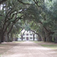
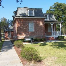
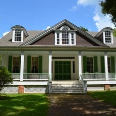
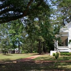
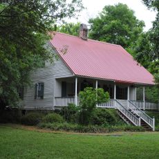
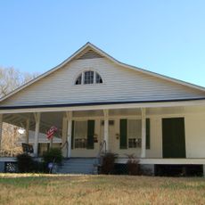
East Feliciana Parish is an administrative division in Louisiana with Clinton as its administrative hub. The area contains scattered settlements, farmland, and forests that characterize the rural landscape throughout the region.

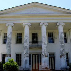
The parish was created in 1824 through division of the original Feliciana Parish. Its name honors Marie Felicité, wife of a Spanish colonial governor, reflecting the region's past under Spanish rule.

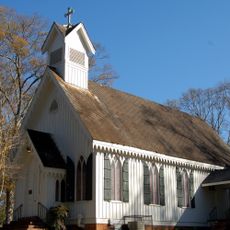
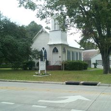
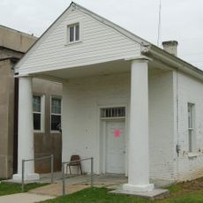
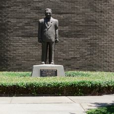
The area reflects the daily life of its residents through their community gatherings and local meeting places. Church activities and local events form the backbone of how people connect with one another here.

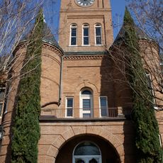
Administrative offices are located in Clinton and operate during standard business hours on weekdays. It helps to call ahead if you need to handle any official matters or seek information.

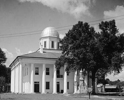
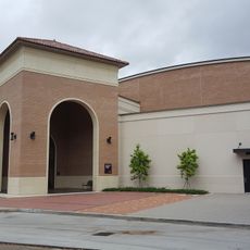
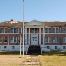
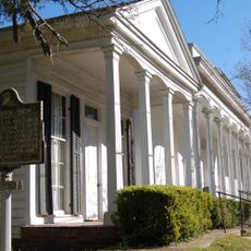
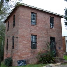
A significant historic hospital facility within the territory has operated continuously as a major institution over many decades. This building represents an important part of the region's development and healthcare history.

The community of curious travelers

AroundUs brings together thousands of curated places, local tips, and hidden gems, enriched daily by 60,000 contributors worldwide.

Start exploring
GPS coordinates
30.84622,-91.04058
Latest update
December 7, 2025 19:30
Around this place
Rosedown Plantation
United States of America

Rosedown Plantation

32.1 km
Huey P. Long Bridge
United States of America

Huey P. Long Bridge

40.7 km
John James Audubon Bridge
United States of America

John James Audubon Bridge

32.8 km
Baton Rouge Zoo
United States of America

Baton Rouge Zoo

33.6 km
Locust Grove State Historic Site
United States of America

Locust Grove State Historic Site

28.2 km
Afton Villa Gardens
United States of America

Afton Villa Gardens

33.2 km
Live Oak
United States of America

Live Oak

40.8 km
LSU Gymnastics Training Facility
United States of America

LSU Gymnastics Training Facility

30.7 km
Port Hudson National Cemetery
United States of America

Port Hudson National Cemetery

30.4 km
Rosemont
United States of America

Rosemont

36.1 km
Marston House
United States of America

Marston House

3.1 km
1938 Clinton High School
United States of America

1938 Clinton High School

3.1 km
Jackson Historic District
United States of America

Jackson Historic District

16.5 km
First National Bank
United States of America

First National Bank

41.4 km
St. Andrew's Episcopal Church
United States of America

St. Andrew's Episcopal Church

3 km
Baker Presbyterian Church
United States of America

Baker Presbyterian Church

31.2 km
Courthouse and Lawyers' Row
United States of America

Courthouse and Lawyers' Row

3.5 km
Samson House
United States of America

Samson House

41.3 km
Smithfield Plantation
United States of America

Smithfield Plantation

40.8 km
Old St. Helena Parish Jail
United States of America

Old St. Helena Parish Jail

35.8 km
Jean Baptiste Bergeron House
United States of America

Jean Baptiste Bergeron House

41.8 km
Pointe Coupee Parish Courthouse
United States of America

Pointe Coupee Parish Courthouse

41.1 km
Greensburg Land Office
United States of America

Greensburg Land Office

35.8 km
Southern University Historic District
United States of America

Southern University Historic District

39 km
Boatner House
United States of America

Boatner House

3.1 km
Bank of Slaughter
United States of America

Bank of Slaughter

17.4 km
Satterfield Motor Company Building
United States of America

Satterfield Motor Company Building

41.3 km
Rosedown Plantation State Historic Site
United States of America

Rosedown Plantation State Historic Site

32.1 km
Show the full map
Reviews
Share your experience

No review yet

Discussions
Start a discussion...

No discussion yet

« East Feliciana Parish - Administrative division in Louisiana, United States » is provided by Around Us (aroundus.com). Images and texts are derived from Wikimedia project under a Creative Commons license. You are allowed to copy, distribute, and modify copies of this page, under the conditions set by the license, as long as this note is clearly visible.

Discover hidden gems everywhere you go!

From secret cafés to breathtaking viewpoints, skip the crowded tourist spots and find places that match your style. Our app makes it easy with voice search, smart filtering, route optimization, and insider tips from travelers worldwide. Download now for the complete mobile experience.

Around Us App Screenshot

A unique approach to discovering new places

Le Figaro

All the places worth exploring

France Info

A tailor-made excursion in just a few clicks

20 Minutes

Around Us
Travel Guide & Maps
Download

Send to your phone

QR Code
1

Open the camera app on your mobile.

2

Point at the QR code with your camera. A notification will appear.

3

Tap the notification to open the link.