Chest opened
+${chestReward.xp} XP
Explorer
NOUVEAU ×${chestReward.collectible.quantity}
tapez pour fermer

See the monuments around you in AR Open chests in the app

Around Us is built for your phone — point your camera at the streets and discover the monuments and places around you in augmented reality. Around Us is built for your phone — chests unlock when you walk, explore and capture nearby places.

•

Enable Location

We need your location to show you interesting places around you

Discover nearby places

Find interesting locations and hidden gems around you

Precise directions

Get accurate directions and distances to places

Your location is never shared with other users. It's only used when you tap the location button.

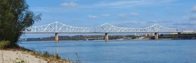
Huey P. Long Bridge

Log in to your account

Start exploring — it's free

Trusted by 89,453 travelers worldwide

Continue with Google
Continue with Apple
or

We will send you a code to connect

By continuing, you accept our Terms and Conditions and our Privacy Policy

Check your inbox

We've sent a pincode in your inbox. Please enter the code below.

Huey P. Long Bridge
Discussion Reviews 1 Photos
14.8k Popularity

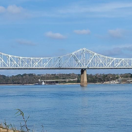
Huey P. Long Bridge, Railroad and highway bridge in Baton Rouge, United States.

Audio guide · About one minute
Preparing your audio guide… The audio guide could not be loaded, please retry.Sign in to listen to the audio guide

The Huey P. Long Bridge is a road and rail bridge that spans across the Mississippi River, connecting the eastern and western sides of Baton Rouge. The structure uses a cantilever truss design and carries both highway traffic and railroad operations.

The structure was built in 1940 and served as the only river crossing in Baton Rouge until 1968. This long period as the sole crossing made the bridge a crucial piece of infrastructure for regional growth.

The bridge is named after two Louisiana governors, Huey P. Long and Oscar K. Allen, and locals simply call it the old bridge, which reflects its importance in the region's past.

The bridge is accessible from various road approaches and offers a wide view of the river during crossing. Visitors should know that the structure is in active use and traffic will be present when traveling across it.

The structure had an unusual color history, originally painted blue before becoming orange in the 1960s due to aluminum oxide dust from a nearby plant. The color was changed to gray in 2016, giving the bridge a different appearance than in earlier decades.

The community of curious travelers

AroundUs brings together thousands of curated places, local tips, and hidden gems, enriched daily by 60,000 contributors worldwide.
Start exploring
Location
Inception
1940
Official opening
August 1940
GPS coordinates
30.50690,-91.19750
Latest update
September 16, 2026 22:28
Around this place
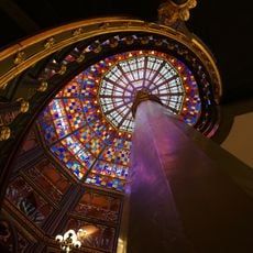
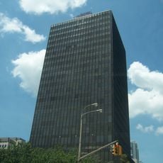
Louisiana State Capitol
United States of America

Louisiana State Capitol

3.5 mi
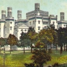
Old Louisiana State Capitol
United States of America

Old Louisiana State Capitol

4.2 mi
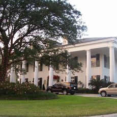
Louisiana Governor's Mansion
United States of America

Louisiana Governor's Mansion

3.5 mi
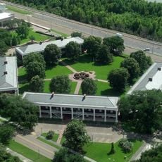
Pentagon Barracks
United States of America

Pentagon Barracks

3.6 mi
Shaw Center for the Arts
United States of America

Shaw Center for the Arts

4.1 mi
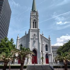
Catedral de San José
United States of America

Catedral de San José

3.9 mi
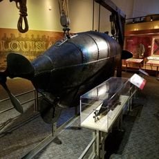
Capitol Park Museum
United States of America

Capitol Park Museum

3.7 mi
One American Place
United States of America

One American Place

3.8 mi
Fort New Richmond
United States of America

Fort New Richmond

3.7 mi
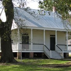
Aillet House
United States of America

Aillet House

3.3 mi
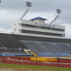
Ace W. Mumford Stadium
United States of America

Ace W. Mumford Stadium

1.1 mi
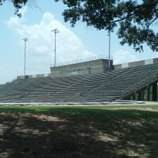
BREC Memorial Stadium
United States of America

BREC Memorial Stadium

3.7 mi
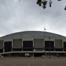
F. G. Clark Center
United States of America

F. G. Clark Center

1.2 mi
Main Street Historic District
United States of America

Main Street Historic District

3.9 mi
Southern University Historic District
United States of America

Southern University Historic District

1.1 mi
LSU Museum of Art
United States of America

LSU Museum of Art

4.1 mi
West Baton Rouge Parish Museum
United States of America

West Baton Rouge Parish Museum

3.3 mi
Homestead Plantation
United States of America

Homestead Plantation

2.8 mi
Pentagon Barracks Museum
United States of America

Pentagon Barracks Museum

3.6 mi
Spanish Town Road Park
United States of America

Spanish Town Road Park

3.8 mi
Old Arsenal Powder Magazine
United States of America

Old Arsenal Powder Magazine

3.5 mi
United States of America

Louisiana State Welcome Center

3.7 mi
United States of America

Southern University Agricultural Research and Extension

1.7 mi
United States of America

The Red Stick Sculpture

1 mi
United States of America

Statue

1 mi
United States of America

Statue

1.1 mi
United States of America

Statue

4.2 mi
United States of America

Sculpture

4.2 mi
Show the full map
Reviews
Share your experience

No review yet

Discussions
Start a discussion...

No discussion yet

« Huey P. Long Bridge - Railroad and highway bridge in Baton Rouge, United States » is provided by Around Us (aroundus.com). Images and texts are derived from Wikimedia project under a Creative Commons license. You are allowed to copy, distribute, and modify copies of this page, under the conditions set by the license, as long as this note is clearly visible.

Discover hidden gems everywhere you go!

From secret cafés to breathtaking viewpoints, skip the crowded tourist spots and find places that match your style. Our app makes it easy with voice search, smart filtering, route optimization, and insider tips from travelers worldwide. Download now for the complete mobile experience.

Around Us App Screenshot
❝

A unique approach to discovering new places❞

— Le Figaro

❝

All the places worth exploring❞

— France Info

❝

A tailor-made excursion in just a few clicks❞

— 20 Minutes

Around Us
Travel Guide & Maps
Download

Send to your phone

QR Code
1

Open the camera app on your mobile.

2

Point at the QR code with your camera. A notification will appear.

3

Tap the notification to open the link.