
Slaughter, human settlement in Louisiana, United States of America
Location: East Feliciana Parish
Elevation above the sea: 40 m
GPS coordinates: 30.71741,-91.14150
Latest update: April 16, 2025 10:36
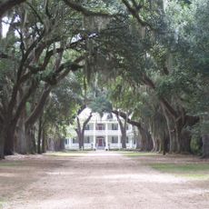
Rosedown Plantation
23.6 km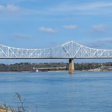
Huey P. Long Bridge
24 km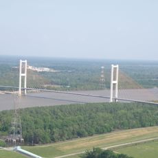
John James Audubon Bridge
20.5 km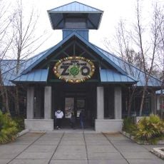
Baton Rouge Zoo
17.4 km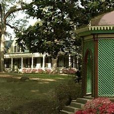
Butler Greenwood Plantation
26.4 km
Port Hudson State Historic Site
14.3 km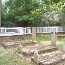
Locust Grove State Historic Site
23.1 km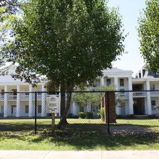
Silliman Institute
19.6 km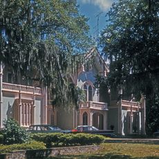
Afton Villa Gardens
27.9 km
LSU Gymnastics Training Facility
16.5 km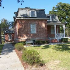
Port Hudson National Cemetery
14.2 km
Allendale Plantation
27.5 km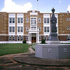
Poydras High School
28.4 km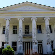
Marston House
20.3 km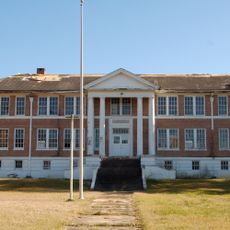
1938 Clinton High School
20.2 km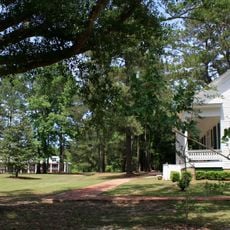
Jackson Historic District
15.7 km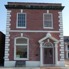
First National Bank
28.1 km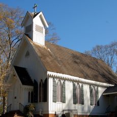
St. Andrew's Episcopal Church
20.1 km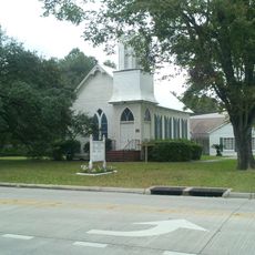
Baker Presbyterian Church
14.6 km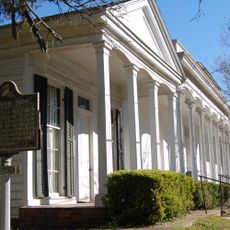
Courthouse and Lawyers' Row
18 km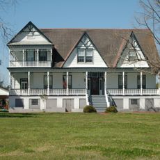
Smithfield Plantation
23.5 km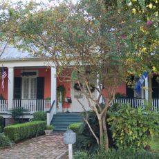
Samson House
28.2 km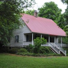
Jean Baptiste Bergeron House
25.8 km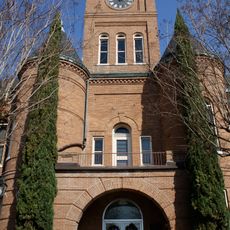
Pointe Coupee Parish Courthouse
28 km
Southern University Historic District
22.3 km
Boatner House
20.3 km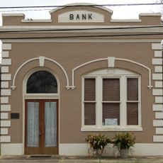
Bank of Slaughter
311 m
Satterfield Motor Company Building
28.1 kmVisited this place? Tap the stars to rate it and share your experience / photos with the community! Try now! You can cancel it anytime.
Discover hidden gems everywhere you go!
From secret cafés to breathtaking viewpoints, skip the crowded tourist spots and find places that match your style. Our app makes it easy with voice search, smart filtering, route optimization, and insider tips from travelers worldwide. Download now for the complete mobile experience.

A unique approach to discovering new places❞
— Le Figaro
All the places worth exploring❞
— France Info
A tailor-made excursion in just a few clicks❞
— 20 Minutes