Enable Location

We need your location to show you interesting places around you

Discover nearby places

Find interesting locations and hidden gems around you

Precise directions

Get accurate directions and distances to places

Your location is never shared with other users. It's only used when you tap the location button.

Tensas Parish

Log in to your account

Start exploring — it's free

Trusted by 61,814 travelers worldwide

Continue with Google
Continue with Apple
or

We will send you a code to connect

By continuing, you accept our Terms and Conditions and our Privacy Policy

Check your inbox

We've sent a pincode in your inbox. Please enter the code below.

Tensas Parish, Administrative division in northeastern Louisiana, United States

Description

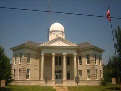
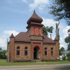
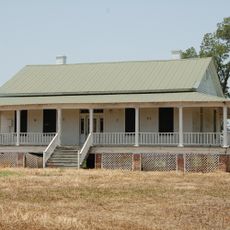
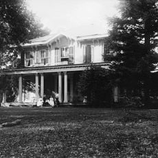
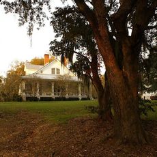
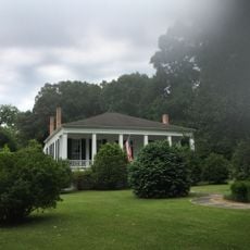
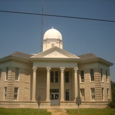
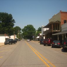
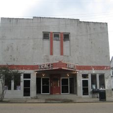
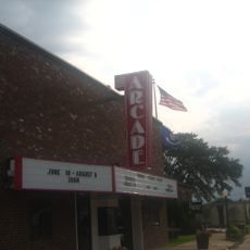
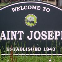
Tensas Parish is an administrative division in northeastern Louisiana extending along the Mississippi River. The area comprises agricultural lands with cotton fields and includes Saint Joseph as its county seat.

History

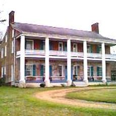
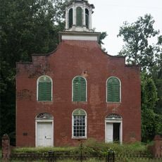
The parish was established in 1843 and became a center for cotton agriculture. In the decades before the Civil War, most of the population was enslaved.

Culture

The name comes from the Taensa people who lived here before Europeans arrived in the region. Local traditions and place names throughout the area reflect this indigenous heritage.

Practical

The area is rural and requires a car for getting around, as distances between towns are considerable. Planning ahead is important since services and facilities are spread out.

Did you know?

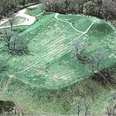
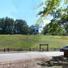
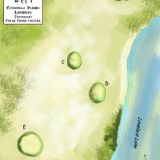
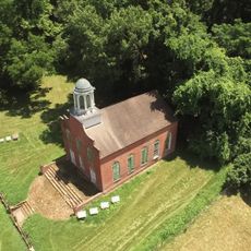
The area contains Flowery Mound, an archaeological site from the Coles Creek period. This earthwork shows evidence of early settlement patterns along the Mississippi.

Location
Inception
1843
Capital city
St. Joseph
Shares border with
Madison Parish, Warren County, Claiborne County, Jefferson County, Adams County, Concordia Parish, Catahoula Parish, Franklin Parish
GPS coordinates
32.00000,-91.33000
Latest update
December 7, 2025 10:07

AroundUs brings together thousands of curated places, local tips, and hidden gems, enriched daily by 60,000 contributors worldwide. Discover all places nearby (Louisiana).

Around this place
Emerald Mound Site
United States of America

Emerald Mound Site

41.3 km
Springfield Plantation
United States of America

Springfield Plantation

31.1 km
Anna Site
United States of America

Anna Site

34 km
Mangum Mound Site
United States of America

Mangum Mound Site

40.6 km
United States of America

Mott Archaeological Preserve

38.2 km
Oakland Memorial Chapel
United States of America

Oakland Memorial Chapel

22.7 km
Van Dorn House
United States of America

Van Dorn House

28.4 km
Grand Gulf Military State Park
United States of America

Grand Gulf Military State Park

26.8 km
Sacred Heart Roman Catholic Church
United States of America

Sacred Heart Roman Catholic Church

26.4 km
Gemiluth Chessed
United States of America

Gemiluth Chessed

33.1 km
Rodney Presbyterian Church
United States of America

Rodney Presbyterian Church

19.2 km
Christ Church
United States of America

Christ Church

32.9 km
Peck Mounds
United States of America

Peck Mounds

36 km
Linwood Plantation Manager's House
United States of America

Linwood Plantation Manager's House

14.8 km
Bethel Presbyterian Church
United States of America

Bethel Presbyterian Church

21.7 km
Alcorn State University Historic District
United States of America

Alcorn State University Historic District

22 km
Montrose Plantation House
United States of America

Montrose Plantation House

40.3 km
Edgewood
United States of America

Edgewood

40.8 km
Canemount
United States of America

Canemount

22.6 km
Yokena Presbyterian Church
United States of America

Yokena Presbyterian Church

41.4 km
Waterproof High School
United States of America

Waterproof High School

21.7 km
Idlewild
United States of America

Idlewild

32.8 km
Tensas Parish Courthouse
United States of America

Tensas Parish Courthouse

13.1 km
St. Joseph Historic District
United States of America

St. Joseph Historic District

12.9 km
Lake Bruin State Park
United States of America

Lake Bruin State Park

12.9 km
Trace Theater
United States of America

Trace Theater

33 km
Arcade Theater
United States of America

Arcade Theater

37.1 km
Rodney Center Historic District
United States of America

Rodney Center Historic District

19.7 km
Show the full map
Administrative divisions
« Tensas Parish - Administrative division in northeastern Louisiana, United States » is provided by Around Us (aroundus.com). Images and texts are derived from Wikimedia project under a Creative Commons license. You are allowed to copy, distribute, and modify copies of this page, under the conditions set by the license, as long as this note is clearly visible.

Discover hidden gems everywhere you go!

From secret cafés to breathtaking viewpoints, skip the crowded tourist spots and find places that match your style. Our app makes it easy with voice search, smart filtering, route optimization, and insider tips from travelers worldwide. Download now for the complete mobile experience.

Around Us App Screenshot

A unique approach to discovering new places

Le Figaro

All the places worth exploring

France Info

A tailor-made excursion in just a few clicks

20 Minutes

Around Us
Travel Guide & Maps
Download

Send to your phone

QR Code
1

Open the camera app on your mobile.

2

Point at the QR code with your camera. A notification will appear.

3

Tap the notification to open the link.