West Carroll Parish

Log in to your account

AroundUs is a community-driven map of interesting places, built by curious explorers like you. It grows with every review, story, and photo you share.
Connect to save your favorite spots, contribute locations, and create personalized routes.
Continue with Google
Continue with Apple
Continue with X
Continue with Facebook
Continue with email
By continuing, you accept our Terms and Conditions and our Privacy Policy
Create an account
Add to collection
Map
Suggest a change
Share

West Carroll Parish, Administrative division in northeastern Louisiana, United States.

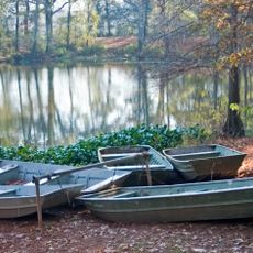
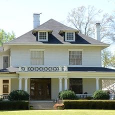
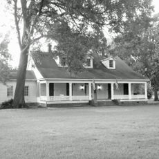
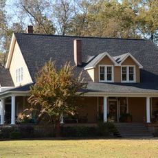
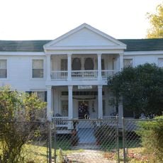
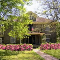
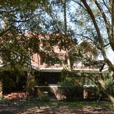
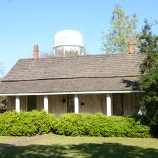
West Carroll Parish is an administrative division in northeastern Louisiana that includes several towns such as Oak Grove, Epps, Forest, Kilbourne, and Pioneer. The area spreads across fertile plains where agriculture shapes the landscape.

The parish was established in 1877 when it separated from Carroll Parish and was named after Charles Carroll, a signer of the Declaration of Independence. This split created a new administrative district in the region.

Agricultural work shapes the rhythm of daily life here, with farming families maintaining practices passed down through generations. This heritage is visible in how the land is used and cared for across the parish.

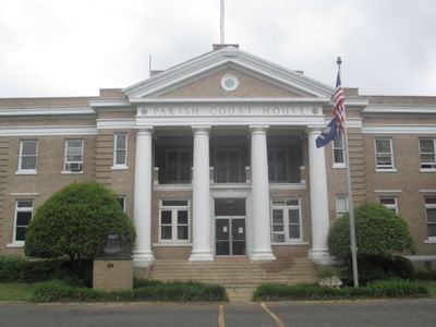
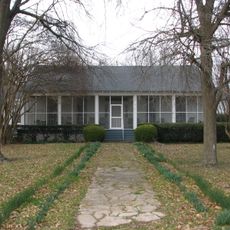
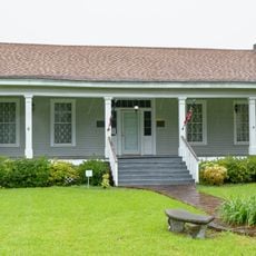
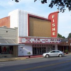
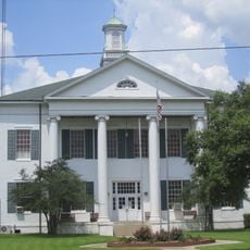
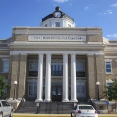
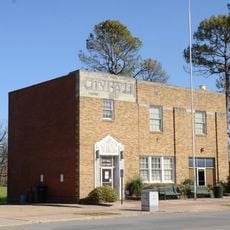
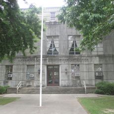
Oak Grove serves as the administrative center with a courthouse, sheriff's department, and public library available to visitors. The area is mostly rural, so having a car is practically necessary to explore the parish.

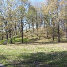
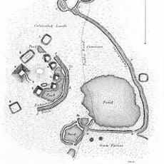
In the southern section sits Poverty Point, an archaeological site with Native American earthworks dating back around 1500 BCE. This location offers glimpses into one of the oldest known settlements in North America.

GPS coordinates: 32.78642,-91.45864

Latest update: December 8, 2025 13:40

Photos
Around this place
Poverty Point
United States of America

Poverty Point

17.2 km
Mount Holly
United States of America

Mount Holly

52.3 km
Poverty Point Reservoir State Park
United States of America

Poverty Point Reservoir State Park

34 km
Chemin-A-Haut State Park
United States of America

Chemin-A-Haut State Park

38.7 km
Jordan Mounds
United States of America

Jordan Mounds

32.3 km
Junius R. Ward House
United States of America

Junius R. Ward House

52.2 km
Hermione
United States of America

Hermione

49.2 km
Pugh House
United States of America

Pugh House

50.6 km
Scottland Plantation House
United States of America

Scottland Plantation House

49.4 km
Fiske Theatre
United States of America

Fiske Theatre

10.7 km
Dean House
United States of America

Dean House

50.7 km
Portland United Methodist Church
United States of America

Portland United Methodist Church

50.9 km
First Baptist Church
United States of America

First Baptist Church

38.2 km
Louisiana State Cotton Museum
United States of America

Louisiana State Cotton Museum

23.6 km
Rose Theatre
United States of America

Rose Theatre

42.6 km
Raffman Site
United States of America

Raffman Site

36.4 km
Madison Parish Courthouse
United States of America

Madison Parish Courthouse

49.2 km
American Legion Post No. 127 Building
United States of America

American Legion Post No. 127 Building

40.4 km
Morehouse Parish Courthouse
United States of America

Morehouse Parish Courthouse

42.6 km
Parkdale Methodist Church
United States of America

Parkdale Methodist Church

38.1 km
Parkdale Baptist Church-AS0051
United States of America

Parkdale Baptist Church-AS0051

38.4 km
John P. Fisher House
United States of America

John P. Fisher House

50.9 km
Dr. M.C. Hawkins House
United States of America

Dr. M.C. Hawkins House

38.1 km
Eudora City Hall
United States of America

Eudora City Hall

40.5 km
Naff House
United States of America

Naff House

50.5 km
Dr. A.G. Anderson House
United States of America

Dr. A.G. Anderson House

40.4 km
Lake Providence Commercial Historic District
United States of America

Lake Providence Commercial Historic District

27.1 km
Joy Theatre
United States of America

Joy Theatre

44.4 km
Show the full map
Reviews

Visited this place? Tap the stars to rate it and share your experience / photos with the community! Try now! You can cancel it anytime.

« West Carroll Parish - Administrative division in northeastern Louisiana, United States » is provided by Around Us (aroundus.com). Images and texts are derived from Wikimedia project under a Creative Commons license. You are allowed to copy, distribute, and modify copies of this page, under the conditions set by the license, as long as this note is clearly visible.

Discover hidden gems everywhere you go!

From secret cafés to breathtaking viewpoints, skip the crowded tourist spots and find places that match your style. Our app makes it easy with voice search, smart filtering, route optimization, and insider tips from travelers worldwide. Download now for the complete mobile experience.

Around Us App Screenshot

A unique approach to discovering new places

Le Figaro

All the places worth exploring

France Info

A tailor-made excursion in just a few clicks

20 Minutes