Arkansas County

Log in to your account

AroundUs is a community-driven map of interesting places, built by curious explorers like you. It grows with every review, story, and photo you share.
Connect to save your favorite spots, contribute locations, and create personalized routes.
By continuing, you accept our Terms and Conditions and our Privacy Policy
Add to collection
Map
Suggest a change
Share

Arkansas County, Administrative division in eastern Arkansas, United States.

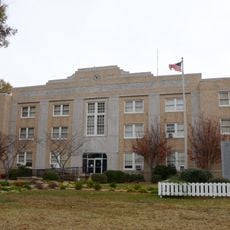
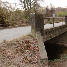
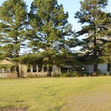
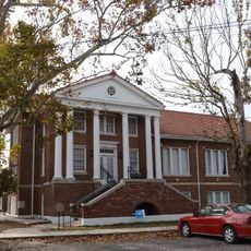
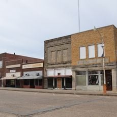
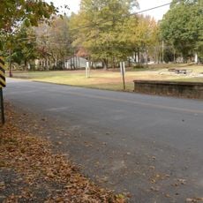
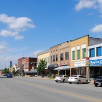
Arkansas County is an administrative division in the eastern part of the state with two county seats, Stuttgart and DeWitt, each serving separate governmental functions. The area spans agricultural and wetland terrain where residents are distributed across small town centers and rural settlements.

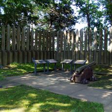
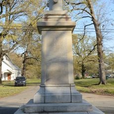
The county was established in 1813 as one of the earliest administrative areas in this part of the state. This founding marked a significant step in the settlement and governance of eastern Arkansas during the territorial expansion period.

The World Championship Duck Calling Contest in Stuttgart brings together people who share a passion for hunting traditions and this distinctive vocal craft. The event has become an important gathering for those who value this cultural practice.

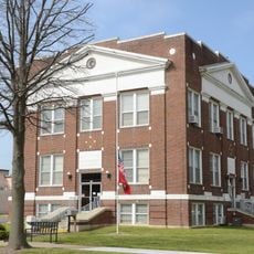
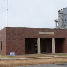
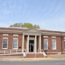
Visitors will find most public services and facilities concentrated in Stuttgart and DeWitt, since these two towns serve as administrative centers for their respective areas. The best time to visit is during the annual events, when the county comes alive and local community life is most visible.

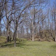
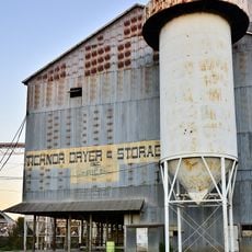
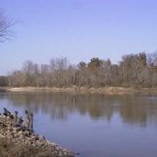
The county is known for rice production, taking advantage of its wet soil conditions and water resources to grow this grain on a large scale. This specialized farming shapes both the landscape and the local economy significantly.

Location: Arkansas

Inception: December 13, 1813

Capital city: Stuttgart

Shares border with: Lonoke County, Prairie County, Monroe County, Phillips County, Desha County, Lincoln County, Jefferson County

GPS coordinates: 34.27417,-91.38389

Latest update: December 7, 2025 10:05

Photos
Around this place
Show the full map
Cummins Unit
United States of America

Cummins Unit

30.9 km
Varner Unit
United States of America

Varner Unit

33 km
Arkansas Post
United States of America

Arkansas Post

28.9 km
Menard-Hodges Site
United States of America

Menard-Hodges Site

32.4 km
Yancopin Bridge
United States of America

Yancopin Bridge

39.1 km
Tichnor Rice Dryer and Storage Building
United States of America

Tichnor Rice Dryer and Storage Building

18.5 km
Standard Ice Company Building
United States of America

Standard Ice Company Building

29.3 km
Crocketts Bluff Hunting Lodge
United States of America

Crocketts Bluff Hunting Lodge

24.5 km
St. Charles Battle Monument
United States of America

St. Charles Battle Monument

25.4 km
Arkansas County Courthouse-Southern District
United States of America

Arkansas County Courthouse-Southern District

5.1 km
Halliburton House
United States of America

Halliburton House

5.1 km
St. Charles Battle Site
United States of America

St. Charles Battle Site

26.4 km
A.M. Bohnert Rice Plantation Pump
United States of America

A.M. Bohnert Rice Plantation Pump

25.7 km
North Jackson Street Bridge
United States of America

North Jackson Street Bridge

4.9 km
Abramson House
United States of America

Abramson House

39.2 km
Arkansas County Courthouse-Northern District
United States of America

Arkansas County Courthouse-Northern District

29.5 km
L.A. Black Rice Milling Association Inc. Office
United States of America

L.A. Black Rice Milling Association Inc. Office

4.4 km
Warrens Bridge
United States of America

Warrens Bridge

34.9 km
North Washington Street Bridge
United States of America

North Washington Street Bridge

5.5 km
Immanuel High School
United States of America

Immanuel High School

15.3 km
Wabbaseka Methodist Episcopal Church, South
United States of America

Wabbaseka Methodist Episcopal Church, South

39.2 km
First United Methodist Church
United States of America

First United Methodist Church

4.8 km
DeWitt Commercial Historic District
United States of America

DeWitt Commercial Historic District

5 km
Maxwell Street Bridge
United States of America

Maxwell Street Bridge

5 km
Holly Grove Historic District
United States of America

Holly Grove Historic District

39.5 km
Stuttgart Commercial Historic District
United States of America

Stuttgart Commercial Historic District

29.3 km
Arkansas Post National Memorial Visitor Center and Museum
United States of America

Arkansas Post National Memorial Visitor Center and Museum

28.9 km
Lock and Dam Number 3
United States of America

Lock and Dam Number 3

29.7 km
Show the full map
Reviews

Visited this place? Tap the stars to rate it and share your experience / photos with the community! Try now! You can cancel it anytime.

Administrative divisions
« Arkansas County - Administrative division in eastern Arkansas, United States » is provided by Around Us (aroundus.com). Images and texts are derived from Wikimedia project under a Creative Commons license. You are allowed to copy, distribute, and modify copies of this page, under the conditions set by the license, as long as this note is clearly visible.

Discover hidden gems everywhere you go!

From secret cafés to breathtaking viewpoints, skip the crowded tourist spots and find places that match your style. Our app makes it easy with voice search, smart filtering, route optimization, and insider tips from travelers worldwide. Download now for the complete mobile experience.

Around Us App Screenshot

A unique approach to discovering new places

Le Figaro

All the places worth exploring

France Info

A tailor-made excursion in just a few clicks

20 Minutes