Chest opened
+${chestReward.xp} XP
Explorer
NOUVEAU ×${chestReward.collectible.quantity}
tapez pour fermer
Chest locked

Open chests in the app

Around Us is built for your phone — chests unlock when you walk, explore and capture nearby places.

Enable Location

We need your location to show you interesting places around you

Discover nearby places

Find interesting locations and hidden gems around you

Precise directions

Get accurate directions and distances to places

Your location is never shared with other users. It's only used when you tap the location button.

Itta Bena

Log in to your account

Start exploring — it's free

Trusted by 72,888 travelers worldwide

Continue with Google
Continue with Apple
or

We will send you a code to connect

By continuing, you accept our Terms and Conditions and our Privacy Policy

Check your inbox

We've sent a pincode in your inbox. Please enter the code below.

Discussion Reviews 3 Photos
37.4k Popularity

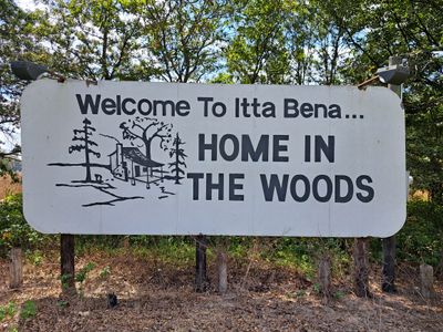
Itta Bena, Agricultural trading center in Leflore County, Mississippi.

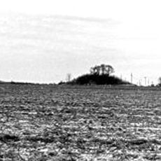
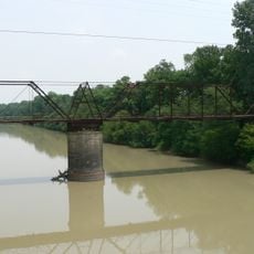
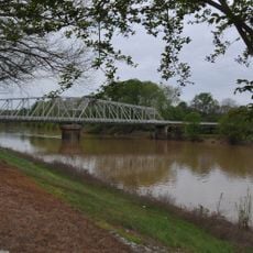
Itta Bena is a city in Leflore County, Mississippi, situated in the state's Delta region. The settlement sits on flat land near the Yazoo River in an area focused on farming and agricultural commerce.

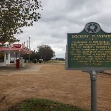
The settlement began in the 1850s when colonists recognized the area's potential for farming. A railroad arrived in the 1880s and transformed how goods moved in and out of the region.

The name originates from Choctaw language, meaning 'forest camp'. This connection to the land shapes how people here relate to the natural surroundings and the region's heritage.

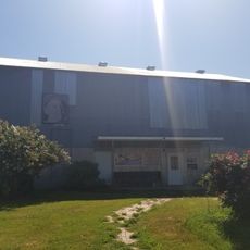
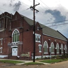
Walking through the main streets lets you see the town's layout and local shops without needing a car. Mississippi Valley State University sits just outside the center and offers campus areas for visitors to explore.

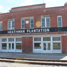
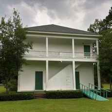
A railroad track still runs through downtown, a reminder of how the rails shaped the town's past. Many older buildings stand right near this historic line.

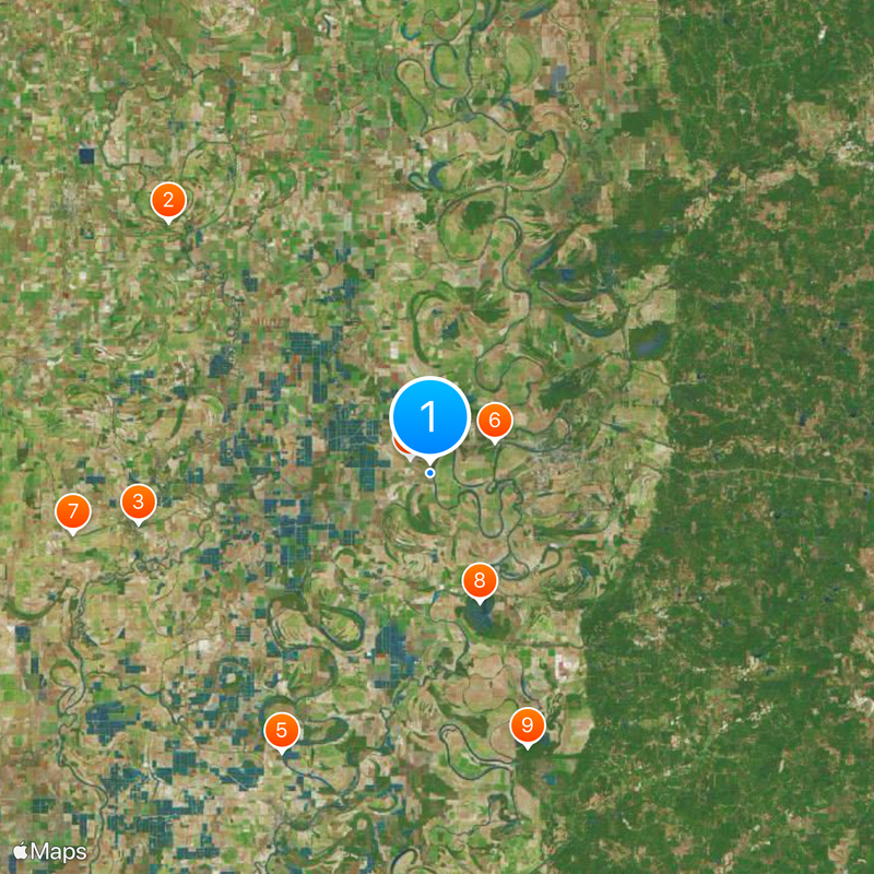
The community of curious travelers

AroundUs brings together thousands of curated places, local tips, and hidden gems, enriched daily by 60,000 contributors worldwide.

Start exploring
Location
Elevation above the sea
40 m
GPS coordinates
33.49580,-90.32220
Latest update
December 17, 2025 10:18
Around this place
Dockery Plantation
United States of America

Dockery Plantation

37.4 km
B.B. King Museum and Delta Interpretive Center
United States of America

B.B. King Museum and Delta Interpretive Center

30.5 km
Rice–Totten Field
United States of America

Rice–Totten Field

2.5 km
Jaketown Site
United States of America

Jaketown Site

32.6 km
United States of America

Florewood State Park

7.4 km
Heathman Plantation
United States of America

Heathman Plantation

37.3 km
United States of America

Mathews Brake National Wildlife Refuge

14.2 km
United States of America

Morgan Brake National Wildlife Refuge

30.1 km
Cotesworth
United States of America

Cotesworth

38.6 km
Woodburn Bridge
United States of America

Woodburn Bridge

37.6 km
Acona Church, Cemetery, and School
United States of America

Acona Church, Cemetery, and School

37.9 km
Indianola Historic District
United States of America

Indianola Historic District

31 km
First Methodist Church of Greenwood
United States of America

First Methodist Church of Greenwood

13 km
Charley's Trace
United States of America

Charley's Trace

25.3 km
Southworth House
United States of America

Southworth House

12.7 km
Wesley Memorial Methodist Episcopal
United States of America

Wesley Memorial Methodist Episcopal

13.2 km
Emmett Till Historic Intrepid Center - ETHIC
United States of America

Emmett Till Historic Intrepid Center - ETHIC

37.2 km
United States of America

Greentree State Waterfowl Production Area

28.5 km
Keesler Bridge
United States of America

Keesler Bridge

13.1 km
United States of America

Morgan Lake

35.9 km
United States of America

Sanders Lake

38.5 km
Wesley Methodist Church Historic District
United States of America

Wesley Methodist Church Historic District

13.2 km
Dockery Farms
United States of America

Dockery Farms

37.7 km
United States of America

Greenwood Country Club Golf Course

15.6 km
United States of America

Indianola Country Club

32.8 km
United States of America

Dockery Farms

37.7 km
United States of America

Brindley Theater

30.5 km
United States of America

Statue, Work of art

37.4 km
Show the full map
Reviews
Share your experience

No review yet

Discussions
Start a discussion...

No discussion yet

« Itta Bena - Agricultural trading center in Leflore County, Mississippi » is provided by Around Us (aroundus.com). Images and texts are derived from Wikimedia project under a Creative Commons license. You are allowed to copy, distribute, and modify copies of this page, under the conditions set by the license, as long as this note is clearly visible.

Discover hidden gems everywhere you go!

From secret cafés to breathtaking viewpoints, skip the crowded tourist spots and find places that match your style. Our app makes it easy with voice search, smart filtering, route optimization, and insider tips from travelers worldwide. Download now for the complete mobile experience.

Around Us App Screenshot

A unique approach to discovering new places

Le Figaro

All the places worth exploring

France Info

A tailor-made excursion in just a few clicks

20 Minutes

Around Us
Travel Guide & Maps
Download

Send to your phone

QR Code
1

Open the camera app on your mobile.

2

Point at the QR code with your camera. A notification will appear.

3

Tap the notification to open the link.