
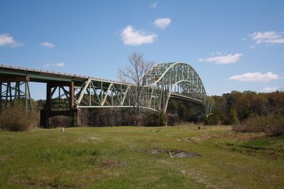
Jim Folsom Bridge
Location: Choctaw County
Location: Clarke County
GPS coordinates: 31.75521,-88.10206
Latest update: September 23, 2025 16:56
Bladon Springs State Park
9.1 km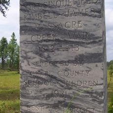
Fort Sinquefield
38.9 km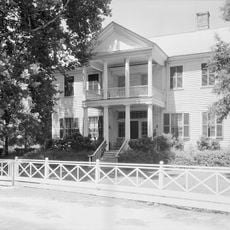
Dellet Plantation
61.3 km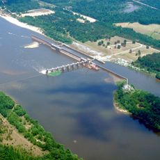
Coffeeville Lock and Dam
2.6 km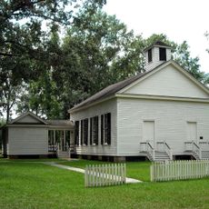
Mount Sterling Methodist Church
37.8 km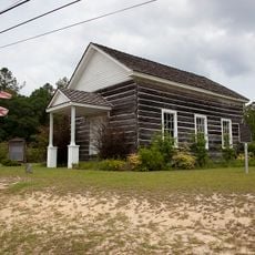
Andrews Chapel
55.1 km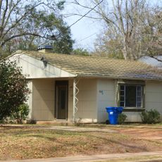
J. P. McKee Lustron House
33 km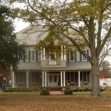
Bush House
31.2 km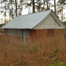
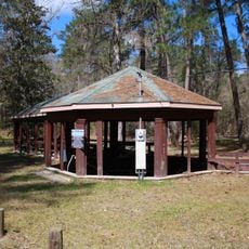
Airmount Grave Shelter
47.3 km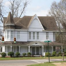
Jackson Historic District
33.4 km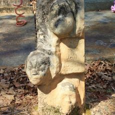
Isaac Nettles Gravestones
50.6 km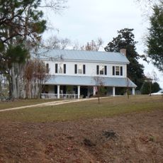
Cobb House
28.9 km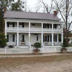
Alston-Cobb House
31.2 km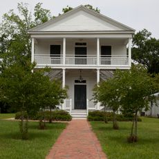
St. Stephens Courthouse
24.4 km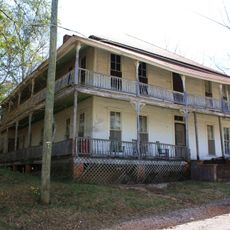
Whatley Historic District
39.4 km
Stephen Beech Cleveland House
42.4 km
Grove Hill Courthouse Square Historic District
31.2 km
Thomasville Historic District
38.8 km
Dickinson House
31.6 km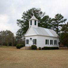
Gainestown Methodist Church and Cemetery
52.1 km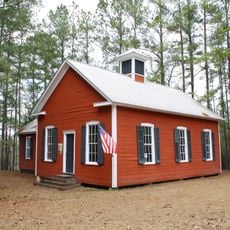
Gainestown Schoolhouse
51.4 km
Doit W. McClellan Lustron House
33 km
Jesse Pickens Pugh Farmstead
26.5 km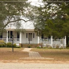
John A. Coate House
31.5 km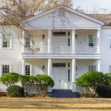
Trotter-Byrd House
66.5 km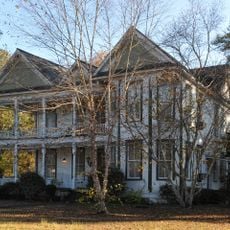
Capt. C.C. Ferrill House
66.7 km
Benjamin H. Carter House
66.7 km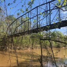
Shubuta Bridge
56.5 kmReviews
Visited this place? Tap the stars to rate it and share your experience / photos with the community! Try now! You can cancel it anytime.
Discover hidden gems everywhere you go!
From secret cafés to breathtaking viewpoints, skip the crowded tourist spots and find places that match your style. Our app makes it easy with voice search, smart filtering, route optimization, and insider tips from travelers worldwide. Download now for the complete mobile experience.

A unique approach to discovering new places❞
— Le Figaro
All the places worth exploring❞
— France Info
A tailor-made excursion in just a few clicks❞
— 20 Minutes