Enable Location

We need your location to show you interesting places around you

Discover nearby places

Find interesting locations and hidden gems around you

Precise directions

Get accurate directions and distances to places

Your location is never shared with other users. It's only used when you tap the location button.

Walthall County

Log in to your account

Start exploring — it's free

Trusted by 62,430 travelers worldwide

Continue with Google
Continue with Apple
or

We will send you a code to connect

By continuing, you accept our Terms and Conditions and our Privacy Policy

Check your inbox

We've sent a pincode in your inbox. Please enter the code below.

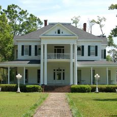
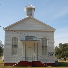
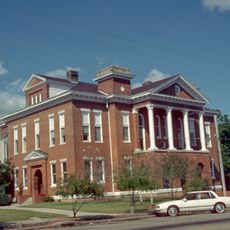
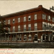
Walthall County, County in southern Mississippi, US

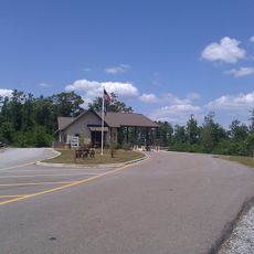
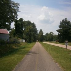
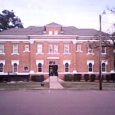
Walthall County is a county in southern Mississippi with Tylertown serving as its administrative center. The region spans across land served by multiple state and federal highways that connect its communities.

The county was established in 1914 by combining parts of Pike and Marion Counties. It was named after Confederate general Edward Cary Walthall.

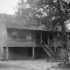
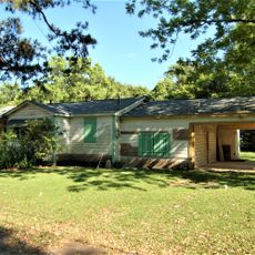
Agriculture shaped how people here lived and worked for generations. The shift from cotton fields to dairy farming reflects how the community adapted to changing times.

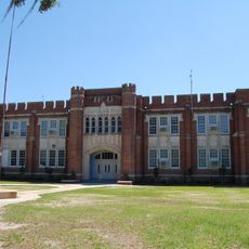
Visitors can navigate the area easily by car since multiple highways cross through the region and connect its towns. The local school district manages education services for residents.

The county ranks among Mississippi's smallest by land size. Despite its small scale, the population has remained relatively stable over decades.

The community of curious travelers

AroundUs brings together thousands of curated places, local tips, and hidden gems, enriched daily by 60,000 contributors worldwide.

Start exploring
Location
Inception
1910
Capital city
Tylertown
Shares border with
Lawrence County, Marion County, Washington Parish, Pike County, Lincoln County
GPS coordinates
31.14000,-90.10000
Latest update
December 10, 2025 15:59
Around this place
Red Bluff
United States of America

Red Bluff

25.3 km
Bogue Chitto State Park
United States of America

Bogue Chitto State Park

41.8 km
Percy Quin State Park
United States of America

Percy Quin State Park

40.5 km
Studio in the Country
United States of America

Studio in the Country

42.4 km
Lake Lincoln State Park
United States of America

Lake Lincoln State Park

64.2 km
Global Wildlife Center
United States of America

Global Wildlife Center

59.6 km
John Ford Home
United States of America

John Ford Home

33.1 km
Franklinton High School
United States of America

Franklinton High School

32.8 km
Robert "Bob" Hicks House
United States of America

Robert "Bob" Hicks House

47.7 km
Longleaf Trace
United States of America

Longleaf Trace

72.2 km
All-American Rose Garden
United States of America

All-American Rose Garden

75.9 km
Covington County Courthouse
United States of America

Covington County Courthouse

76.2 km
Blythewood
United States of America

Blythewood

59.4 km
Arcola Presbyterian Church
United States of America

Arcola Presbyterian Church

56.8 km
Jefferson Davis County Courthouse
United States of America

Jefferson Davis County Courthouse

55.9 km
Inez Hotel
United States of America

Inez Hotel

58.7 km
Lawrence County Courthouse
United States of America

Lawrence County Courthouse

46.1 km
Sullivan House
United States of America

Sullivan House

45.7 km
William Frederick Holmes House
United States of America

William Frederick Holmes House

35.7 km
Bogalusa City Hall
United States of America

Bogalusa City Hall

45.6 km
Greenlaw House
United States of America

Greenlaw House

32.7 km
Green Shutters
United States of America

Green Shutters

49 km
Greenlawn
United States of America

Greenlawn

60.4 km
Sylvest House
United States of America

Sylvest House

32.3 km
Thomas M. Babington House
United States of America

Thomas M. Babington House

33.2 km
Splash pad
United States of America

Splash pad

45 km
Kentwood Historical and Cultural Arts Museum
United States of America

Kentwood Historical and Cultural Arts Museum

44.9 km
Walthall County Courthouse and Jail
United States of America

Walthall County Courthouse and Jail

4.7 km
Show the full map
Administrative divisions
« Walthall County - County in southern Mississippi, US » is provided by Around Us (aroundus.com). Images and texts are derived from Wikimedia project under a Creative Commons license. You are allowed to copy, distribute, and modify copies of this page, under the conditions set by the license, as long as this note is clearly visible.

Discover hidden gems everywhere you go!

From secret cafés to breathtaking viewpoints, skip the crowded tourist spots and find places that match your style. Our app makes it easy with voice search, smart filtering, route optimization, and insider tips from travelers worldwide. Download now for the complete mobile experience.

Around Us App Screenshot

A unique approach to discovering new places

Le Figaro

All the places worth exploring

France Info

A tailor-made excursion in just a few clicks

20 Minutes

Around Us
Travel Guide & Maps
Download

Send to your phone

QR Code
1

Open the camera app on your mobile.

2

Point at the QR code with your camera. A notification will appear.

3

Tap the notification to open the link.