Oktibbeha County

Log in to your account

AroundUs is a community-driven map of interesting places, built by curious explorers like you. It grows with every review, story, and photo you share.
Connect to save your favorite spots, contribute locations, and create personalized routes.
Continue with Google
Continue with Apple
Continue with X
Continue with Facebook
Continue with email
By continuing, you accept our Terms and Conditions and our Privacy Policy
Create an account
Add to collection
Map
Suggest a change
Share

Oktibbeha County, Administrative division in Mississippi, United States.

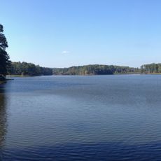
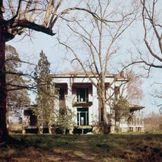
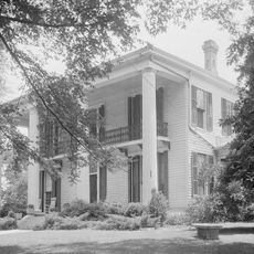
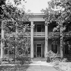
Oktibbeha County is an administrative division in central Mississippi with Starkville serving as its main hub. The area features a mix of small towns, rural communities, and agricultural land.

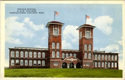
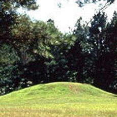
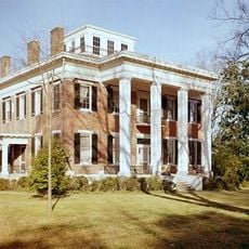
The land was originally home to the Choctaw people until they were displaced in 1830 through the Treaty of Dancing Rabbit Creek. After that, settlers arrived and the region developed as an agricultural area.

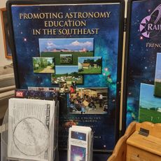
The Heritage Museum displays the area's history through exhibits on local traditions and how communities developed over time. Visitors can learn about the customs and practices that shaped life in this region.

The best way to explore this region is by car, as communities are spread across larger distances. Starkville offers accommodations and services as the area's main town.

The name Oktibbeha comes from the Choctaw language and means 'icy creek', which reflects the area's indigenous roots. This linguistic tie connects the region to its Native American past.

Location: Mississippi

Inception: 1833

Capital city: Starkville

Shares border with: Clay County, Winston County, Lowndes County, Neshoba County, Webster County, Choctaw County

Website: http://oktibbehacountyms.org

GPS coordinates: 33.43000,-88.88000

Latest update: December 7, 2025 10:06

Photos
Around this place
Davis Wade Stadium
United States of America

Davis Wade Stadium

8.5 km
Waverley
United States of America

Waverley

38.2 km
Bynum Mound and Village Site
United States of America

Bynum Mound and Village Site

52.5 km
Tombigbee National Forest
United States of America

Tombigbee National Forest

23.2 km
John C. Stennis Lock and Dam
United States of America

John C. Stennis Lock and Dam

37.6 km
Sam D. Hamilton Noxubee National Wildlife Refuge
United States of America

Sam D. Hamilton Noxubee National Wildlife Refuge

17.8 km
Legion State Park
United States of America

Legion State Park

34.6 km
Payne Field
United States of America

Payne Field

34.9 km
Old Fort House
United States of America

Old Fort House

42.9 km
Rainwater Observatory and Planetarium
United States of America

Rainwater Observatory and Planetarium

49.6 km
Charles McLaran House
United States of America

Charles McLaran House

42.2 km
Stephen D. Lee House
United States of America

Stephen D. Lee House

42.9 km
South Columbus Historic District
United States of America

South Columbus Historic District

42.9 km
Brownrigg-Harris-Kennebrew House
United States of America

Brownrigg-Harris-Kennebrew House

43.2 km
Judge Bates House
United States of America

Judge Bates House

52.8 km
The Cedars
United States of America

The Cedars

43.7 km
Cox-Uithoven House
United States of America

Cox-Uithoven House

43.5 km
Yates-Flora House
United States of America

Yates-Flora House

46.5 km
Waverly Bridge
United States of America

Waverly Bridge

38.6 km
Foster-Fair House
United States of America

Foster-Fair House

38.3 km
Weaver Place
United States of America

Weaver Place

42.4 km
Benjamin Franklin Smyth House
United States of America

Benjamin Franklin Smyth House

41.1 km
Harris-Banks House
United States of America

Harris-Banks House

42.2 km
Goodwin-Harrison House
United States of America

Goodwin-Harrison House

46.1 km
John M. Stone Cotton Mill
United States of America

John M. Stone Cotton Mill

7.8 km
Baptist Church of Christ at Sardis
United States of America

Baptist Church of Christ at Sardis

41.8 km
Strand Theatre
United States of America

Strand Theatre

37.9 km
Macon Historic District
United States of America

Macon Historic District

45.6 km
Show the full map
Reviews

Visited this place? Tap the stars to rate it and share your experience / photos with the community! Try now! You can cancel it anytime.

Administrative divisions
« Oktibbeha County - Administrative division in Mississippi, United States » is provided by Around Us (aroundus.com). Images and texts are derived from Wikimedia project under a Creative Commons license. You are allowed to copy, distribute, and modify copies of this page, under the conditions set by the license, as long as this note is clearly visible.

Discover hidden gems everywhere you go!

From secret cafés to breathtaking viewpoints, skip the crowded tourist spots and find places that match your style. Our app makes it easy with voice search, smart filtering, route optimization, and insider tips from travelers worldwide. Download now for the complete mobile experience.

Around Us App Screenshot

A unique approach to discovering new places

Le Figaro

All the places worth exploring

France Info

A tailor-made excursion in just a few clicks

20 Minutes