Mississippi embayment, Geological valley in southern Illinois to northern Louisiana, United States.
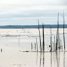
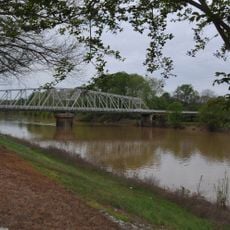
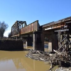
The Mississippi Embayment is a broad, low-lying basin that spreads across several states and is filled with marine sediments. The geological layers and composition show clearly that this landscape was once shaped by ancient waters.
About 70 million years ago during the Cretaceous period, this region was completely covered by water and hosted prehistoric sea creatures. This deep geological past still shapes the layers beneath the ground today.
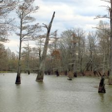
The region once supported large hardwood forests that shaped how early communities lived and worked. These forests provided resources that influenced settlement patterns and local traditions throughout the area.
The region offers access to large underground water systems that support agriculture and drinking water supplies. Visitors can explore the flat landscape and understand how these water resources shape current land use.
At the northern edge of this region lies the New Madrid Seismic Zone, an area with significant earthquake activity. This zone produced major earthquakes in 1811-1812 and shows that geological forces are still at work here.
The community of curious travelers
AroundUs brings together thousands of curated places, local tips, and hidden gems, enriched daily by 60,000 contributors worldwide.