Enable Location

We need your location to show you interesting places around you

Discover nearby places

Find interesting locations and hidden gems around you

Precise directions

Get accurate directions and distances to places

Your location is never shared with other users. It's only used when you tap the location button.

Chilton County

Log in to your account

Start exploring — it's free

Trusted by travelers worldwide

Continue with Google
Continue with Apple
or

We will send you a code to connect

By continuing, you accept our Terms and Conditions and our Privacy Policy

Check your inbox

We've sent a pincode in your inbox. Please enter the code below.

Chilton County, Administrative division in central Alabama, US.

Description

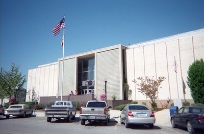
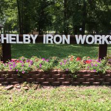
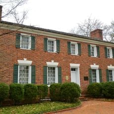
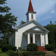
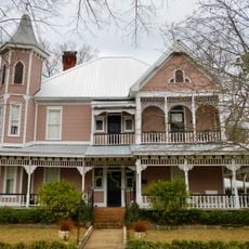
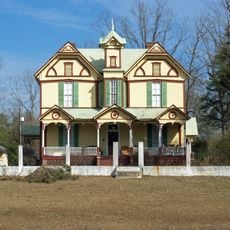
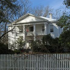
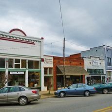
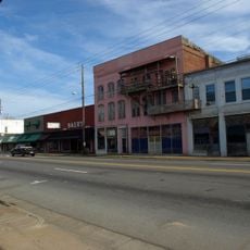
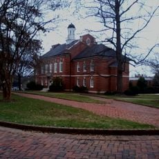
Chilton County is an administrative division in central Alabama spanning diverse terrain from prairie lands to swamps and Appalachian foothills. The county encompasses multiple communities with Clanton functioning as the main administrative hub.

History

The area was originally established as Baker County in 1868 and renamed in 1874 to honor William Parish Chilton Sr., a former Chief Justice of Alabama's Supreme Court. This change reflects early administrative reorganization in the region's development.

Culture

The county maintains seven elected commissioners who govern through cumulative voting, representing the diverse population of 45,014 residents across multiple communities.

Practical

The county is easily accessible via Interstate 65 and U.S. Highway 31, which connect its various communities and make navigation straightforward. Keep in mind that this is a large, dispersed administrative area, so planning ahead helps when visiting different parts.

Did you know?

The geographic center of Alabama's population is located near the town of Jemison within this area. This fact highlights the region's central role in the state's demographics.

Location
Inception
December 30, 1868
Capital city
Clanton
Elevation above the sea
189 m
Shares border with
Shelby County, Autauga County, Bibb County, Dallas County, Coosa County, Elmore County, Perry County
GPS coordinates
32.84528,-86.71444
Latest update
December 22, 2025 19:46

AroundUs brings together thousands of curated places, local tips, and hidden gems, enriched daily by 60,000 contributors worldwide. Discover all places nearby (Alabama).

Around this place
United States of America

Heart of Dixie Railroad Museum

28.4 km
United States of America

Lay Dam

22.7 km
Alabama Confederate Soldiers Home
United States of America

Alabama Confederate Soldiers Home

26.4 km
Alabama Scenic River Trail
United States of America

Alabama Scenic River Trail

25.4 km
Brierfield Furnace
United States of America

Brierfield Furnace

30.8 km
Shelby Iron Company
United States of America

Shelby Iron Company

31.7 km
Edmund King House
United States of America

Edmund King House

31.8 km
Montebrier
United States of America

Montebrier

28.2 km
United States of America

Sarah Amanda Trott McKinney House

32.6 km
United States of America

University of Montevallo Historic District

32.1 km
Verbena United Methodist Church
United States of America

Verbena United Methodist Church

21.7 km
McKibbon House Bed & Breakfast
United States of America

McKibbon House Bed & Breakfast

31.3 km
Walker-Klinner Farm
United States of America

Walker-Klinner Farm

9.9 km
Antique Store
United States of America

Antique Store

28.5 km
Christian Church and Parsonage
United States of America

Christian Church and Parsonage

28.8 km
United States of America

Doctor's Office

28.6 km
Driskell-Martin House
United States of America

Driskell-Martin House

28.5 km
Tinglewood Carvings
United States of America

Tinglewood Carvings

31.1 km
Downtown Montevallo Historic District
United States of America

Downtown Montevallo Historic District

31.6 km
Calera Downtown Historic District
United States of America

Calera Downtown Historic District

28.6 km
United States of America

Mitchell Lake

33.4 km
United States of America

Richard Gilliam Field

31.6 km
United States of America

Alabama Music Park

15 km
United States of America

Lay Lake

24.6 km
University of Montevallo Historic District
United States of America

University of Montevallo Historic District

32 km
Peach Water Tower
United States of America

Peach Water Tower

9.3 km
Lighthouse at Peach Park
United States of America

Lighthouse at Peach Park

14.1 km

The Gallery

32.1 km
Show the full map
« Chilton County - Administrative division in central Alabama, US » is provided by Around Us (aroundus.com). Images and texts are derived from Wikimedia project under a Creative Commons license. You are allowed to copy, distribute, and modify copies of this page, under the conditions set by the license, as long as this note is clearly visible.

Discover hidden gems everywhere you go!

From secret cafés to breathtaking viewpoints, skip the crowded tourist spots and find places that match your style. Our app makes it easy with voice search, smart filtering, route optimization, and insider tips from travelers worldwide. Download now for the complete mobile experience.

Around Us App Screenshot

A unique approach to discovering new places

Le Figaro

All the places worth exploring

France Info

A tailor-made excursion in just a few clicks

20 Minutes

Around Us
Travel Guide & Maps
Download

Send to your phone

QR Code
1

Open the camera app on your mobile.

2

Point at the QR code with your camera. A notification will appear.

3

Tap the notification to open the link.