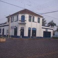
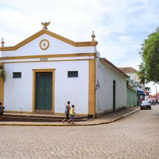
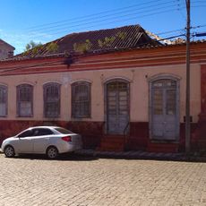
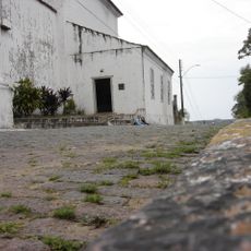
Encruzilhada do Sul, Administrative municipality in Rio Grande do Sul, Brazil.
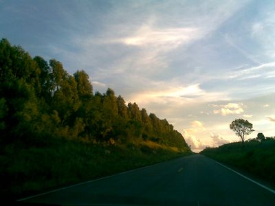
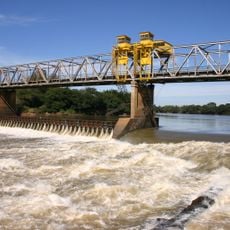
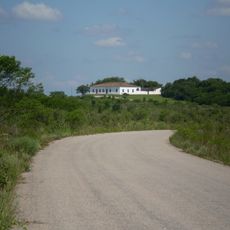
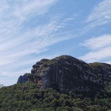
Encruzilhada do Sul is a municipality in southern Brazil's Rio Grande do Sul state, characterized by rolling hills and extensive agricultural lands. The terrain sits at approximately 389 meters in elevation, shaping the landscape throughout the region.
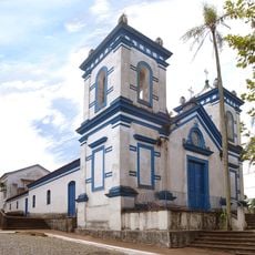
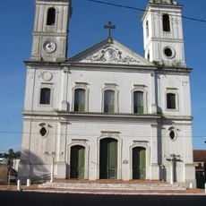
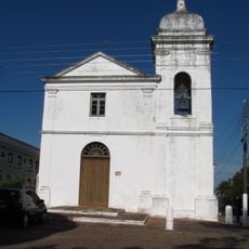
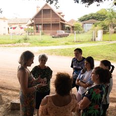
The region was originally inhabited by indigenous Guarani and Kaingang peoples before Portuguese settlers arrived. During the 19th century, German and Italian immigrants introduced new farming methods and cultural practices to the area.
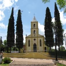
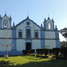
The municipality preserves gaucho traditions through daily agricultural work and the communal ritual of drinking chimarrão, a shared yerba mate beverage that brings people together. These customs shape how residents connect with their southern roots.
The region has a humid subtropical climate with winter temperatures dropping to -2.5°C and summer heat reaching 36.7°C, with annual rainfall around 1,704 mm. Visitors should prepare appropriate clothing for the season and account for frequent rainfall throughout the year.
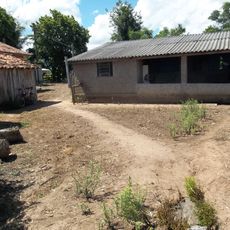
The area plays a key role in supplying Brazil with grains and crops through intensive agricultural production and livestock farming. This agricultural focus makes it one of the core regions supporting the country's food security.
Location: Rio Grande do Sul
Elevation above the sea: 389 m
Shares border with: Rio Pardo
Website: http://encruzilhadadosul.rs.gov.br
GPS coordinates: -30.54389,-52.52194
Latest update: December 7, 2025 20:23
St. John the Baptist Cathedral
92.2 km
Forte de D. Pedro II de Caçapava
93.2 km
Château D'Eau
65.5 km
Fandango Bridge
64.5 km
Ponte do Império
115 km
Bom Jesus Church
102.1 km
Igreja Matriz Nossa Senhora do Rosário
63.3 km
Parque Histórico General Bento Gonçalves
68.7 km
Museu de Arte Sacra de Rio Pardo
63.5 km
Comunidade Arnesto Penna Carneiro
132.1 km
Usina Termoelétrica (Museu Carvão 01)
91.8 km
Museum Aristides Carlos Rodrigues
101.2 km
Palácio Farroupilha
114.8 km
Stones of Segredo Park
99 km
Teatro União
102.1 km
Casa de Ulhôa Cintra
93 km
Igreja Nossa Senhora do Rosário
77.2 km
Casa de Antônio Augusto Borges de Medeiros
93 km
Igreja Matriz Nossa Senhora da Assunção
93.1 km
Forte Zeca Netto
75.2 km
Casa de Artes Regina Simonis
92.5 km
Forum
93.1 km
Igreja Matriz de Santo Amaro
90.2 km
Banco Pelotense
66.5 km
Prefeitura Municipal
92.8 km
Antiga Escola Militar
63.9 km
Calçamento de Pedra, antigo, da rua da Ladeira, abrangendo o trecho situado entre a esquina da rua Andrade Neves e a praça da Matriz
63.5 km
Quilombo Vó Elvira
109.9 kmVisited this place? Tap the stars to rate it and share your experience / photos with the community! Try now! You can cancel it anytime.
Discover hidden gems everywhere you go!
From secret cafés to breathtaking viewpoints, skip the crowded tourist spots and find places that match your style. Our app makes it easy with voice search, smart filtering, route optimization, and insider tips from travelers worldwide. Download now for the complete mobile experience.
A unique approach to discovering new places❞
— Le Figaro
All the places worth exploring❞
— France Info
A tailor-made excursion in just a few clicks❞
— 20 Minutes