Enable Location

We need your location to show you interesting places around you

Discover nearby places

Find interesting locations and hidden gems around you

Precise directions

Get accurate directions and distances to places

Your location is never shared with other users. It's only used when you tap the location button.

Pinheiro Machado

Log in to your account

Start exploring — it's free

Trusted by 62,033 travelers worldwide

Continue with Google
Continue with Apple
or

We will send you a code to connect

By continuing, you accept our Terms and Conditions and our Privacy Policy

Check your inbox

We've sent a pincode in your inbox. Please enter the code below.

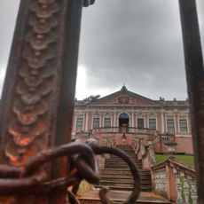
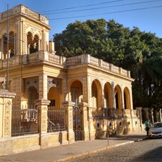
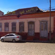
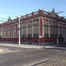
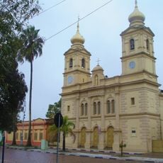
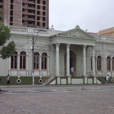
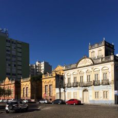
Pinheiro Machado, Administrative municipality in Rio Grande do Sul, Brazil.

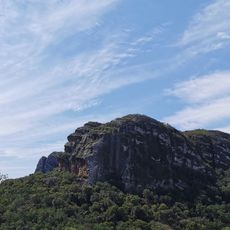
Pinheiro Machado is a municipality in Rio Grande do Sul situated across rolling hills within the Serras de Sudeste plateau. The landscape features green hills, farmland, and pastoral areas typical of the region.

This municipality was created when it separated from Piratini in 1879 and was originally named Nossa Senhora da Luz. The name changed to Pinheiro Machado during the community's development.

Local people keep traditional sheep farming and celebrate regional barbecue customs tied to the agricultural past of the state. You can see how these practices shape daily life and community gatherings here.

The area has mild weather with warmer temperatures during summer months and cooler periods in winter. Rain falls throughout the year, so it helps to be prepared for changeable conditions.

Several power plants operate near here, including small oil facilities and wind farms that generate electricity for the region. This energy production plays an important role in the local economy.

The community of curious travelers

AroundUs brings together thousands of curated places, local tips, and hidden gems, enriched daily by 60,000 contributors worldwide.

Start exploring
Inception
May 2, 1879
Elevation above the sea
291 m
Shares border with
Piratini, Bagé, Caçapava do Sul, Candiota, Herval, Pedras Altas, Santana da Boa Vista
GPS coordinates
-31.57778,-53.38083
Latest update
December 8, 2025 13:43
« Pinheiro Machado - Administrative municipality in Rio Grande do Sul, Brazil » is provided by Around Us (aroundus.com). Images and texts are derived from Wikimedia project under a Creative Commons license. You are allowed to copy, distribute, and modify copies of this page, under the conditions set by the license, as long as this note is clearly visible.

Discover hidden gems everywhere you go!

From secret cafés to breathtaking viewpoints, skip the crowded tourist spots and find places that match your style. Our app makes it easy with voice search, smart filtering, route optimization, and insider tips from travelers worldwide. Download now for the complete mobile experience.

Around Us App Screenshot

A unique approach to discovering new places

Le Figaro

All the places worth exploring

France Info

A tailor-made excursion in just a few clicks

20 Minutes

Around Us
Travel Guide & Maps
Download

Send to your phone

QR Code
1

Open the camera app on your mobile.

2

Point at the QR code with your camera. A notification will appear.

3

Tap the notification to open the link.