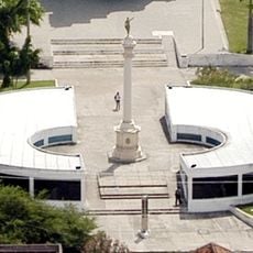
Uruburetama, Agricultural municipality in Ceará, Brazil
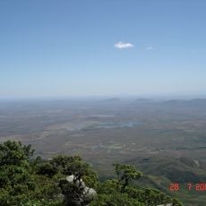
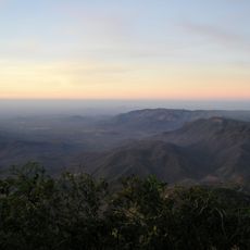
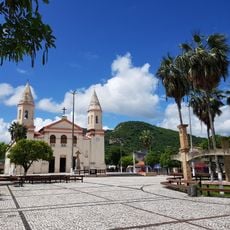
Uruburetama is a municipality in Ceará in northeastern Brazil, situated across hilly terrain with varying elevations throughout its territory. The area encompasses several districts including Santa Luzia, Itacolomy, Retiro, and Tamboatá, linked by local roads that connect the settlements.
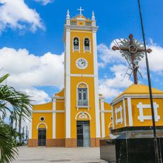
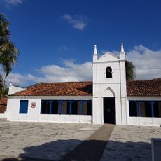
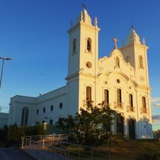
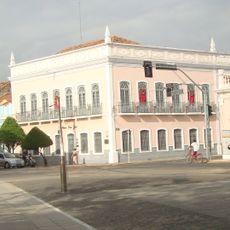
The area was established in 1720 when a land grant created an early settlement that became the foundation for the present municipality. This colonial past shaped local development through subsequent centuries.
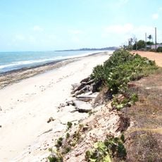
The name Uruburetama comes from Tupi-Guarani roots: urubu means vulture and retama means land, reflecting indigenous heritage. This linguistic connection remains visible in how locals relate to their natural surroundings.
The municipality can be reached via local roads that connect its various districts and provide access to settlements. The varied terrain means that travelers should expect different road conditions depending on which areas they explore.
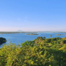
The Mundaú River flows through the municipality, connecting different parts of the territory and serving as a significant geographic feature. This waterway has shaped local geography and settlement patterns over time.
The community of curious travelers
AroundUs brings together thousands of curated places, local tips, and hidden gems, enriched daily by 60,000 contributors worldwide.