Geography of Réunion, Volcanic island territory in Indian Ocean, France
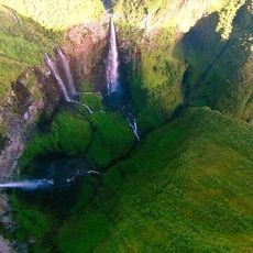
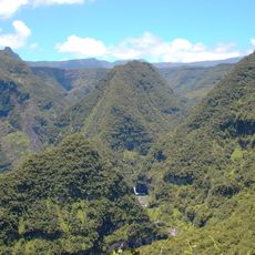
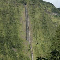
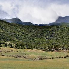
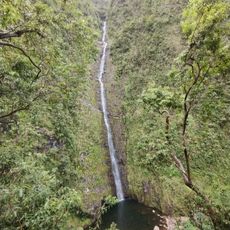
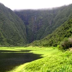
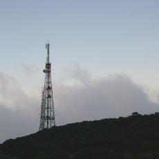
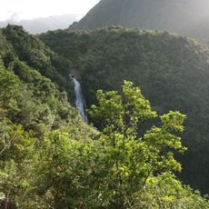
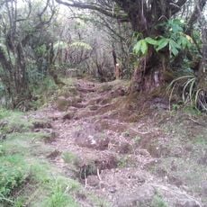
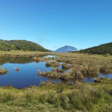
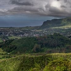
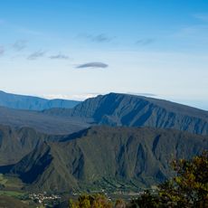
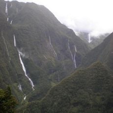
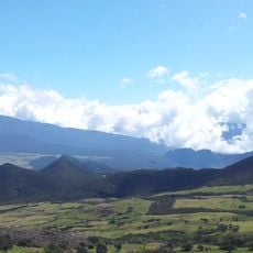
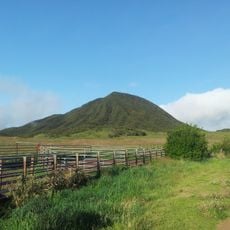
The geography of this volcanic island shows mountains, forested areas, and coastal zones spread across the terrain. The landscape is marked by steep ridges and varied terrain, with a dominant central peak rising above the surrounding regions.
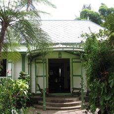
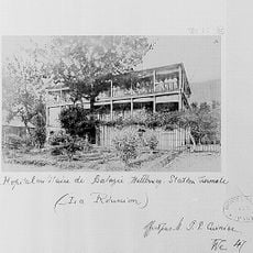
Portuguese sailors found the uninhabited island in the early 1500s, and the French later took control of it. They built a port station to support their trading routes across the Indian Ocean.
The people here come from African, European, and South Asian backgrounds, shaping how communities live and interact. You'll hear French everywhere, along with a local Creole dialect that echoes through neighborhoods and daily conversations.
The island receives different amounts of rainfall across its regions, with the south and east getting much more rain than the north and west. Plan your visit based on where you want to go and what weather conditions you prefer.
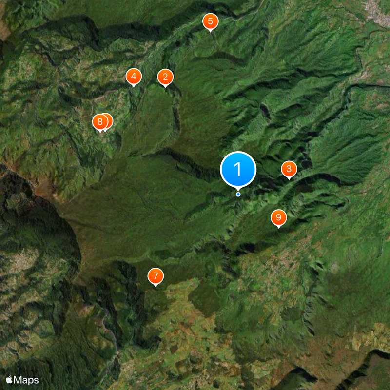
Three natural amphitheater valleys called cirques - Salazie, Cilaos, and Mafate - surround the island's highest peak. These dramatic bowl-shaped valleys were carved by erosion and offer some of the most striking views anywhere on the island.
The community of curious travelers
AroundUs brings together thousands of curated places, local tips, and hidden gems, enriched daily by 60,000 contributors worldwide.