
Manggar, district in East Belitung Regency, Bangka Belitung Islands Province, Indonesia
Location: East Belitung
Elevation above the sea: 2 m
GPS coordinates: -2.89000,108.27000
Latest update: March 14, 2025 13:06
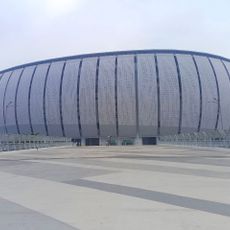
Jakarta International Stadium
392.6 km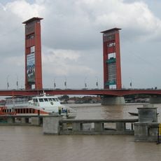
Ampera Bridge
390 km
Way Kambas National Park
360.2 km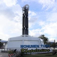
The Equator monument
342.5 km
Kepulauan Seribu Marine National Park
367.1 km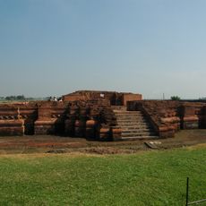
Batujaya
373.5 km
Tayan Bridge
385.5 km
Muhammad Cheng Hoo Mosque
388.5 km
Great Mosque of Palembang
390.4 km
Sultan Mahmud Badaruddin II Museum
390.3 km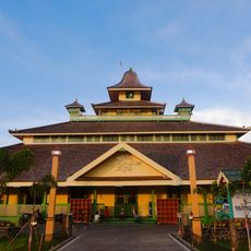
Jami Mosque of Pontianak
340.5 km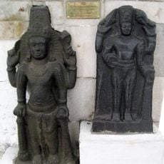
Cibuaya
366.4 km
Gunung Palung National Park
285.9 km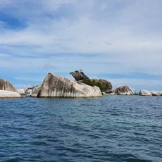
Tanjung Kelayang Beach
75.9 km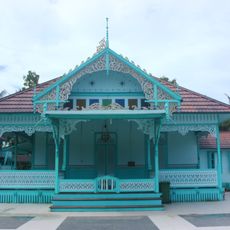
Amantubillah
371 km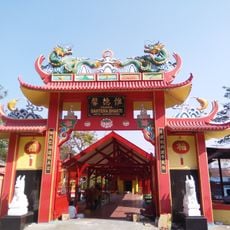
Bahtera Bakti Vihara
392.4 km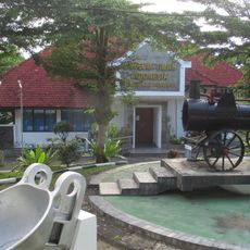
Museum Timah Indonesia
255.1 km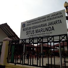
Rumah si Pitung
385.5 km
Gunung Maras National Park
293.3 km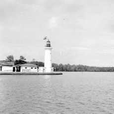
Jakarta West Mole Lighthouse
393.1 km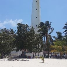
Lengkuas Island Lighthouse
82.2 km
Palembang Water Tower
390.7 km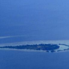
Payung Besar Island
377.7 km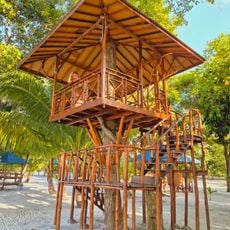
Pulau Leebong
82.2 km
Maritime Museum of Indonesia
389.8 km
Tiger Island
356.9 km
Marunda Pulo
385.6 km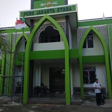
Kantor PCNU JAKARTA UTARA
390.3 kmReviews
Visited this place? Tap the stars to rate it and share your experience / photos with the community! Try now! You can cancel it anytime.
Discover hidden gems everywhere you go!
From secret cafés to breathtaking viewpoints, skip the crowded tourist spots and find places that match your style. Our app makes it easy with voice search, smart filtering, route optimization, and insider tips from travelers worldwide. Download now for the complete mobile experience.

A unique approach to discovering new places❞
— Le Figaro
All the places worth exploring❞
— France Info
A tailor-made excursion in just a few clicks❞
— 20 Minutes