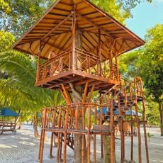
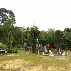
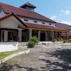
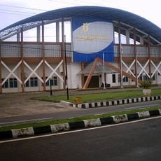
Gunung Maras National Park, National park in Bangka Belitung Islands, Indonesia
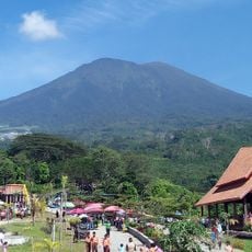
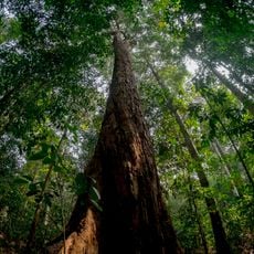
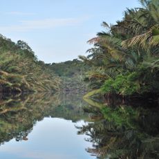
Gunung Maras National Park covers 16,806.91 hectares across Bangka and West Bangka regencies on Bangka Island. Its terrain runs from coastal flats at Teluk Kelabat to hills, with three named peaks: Maras at 669 m, Tambun Tulang, and Bui (also spelled Buik) at about 705 m, the highest, lying some 1.3 km southeast of the Maras summit marker.
The protected area was established in 2016 through a government decision to preserve the forests and their natural resources. This designation followed growing recognition of the region's ecological importance.
The mentilin, or Bangka tarsier (Tarsius bancanus), is the faunal emblem of the Bangka Belitung Islands and lives in the park; researchers have proposed Gunung Maras as a natural laboratory and environmental knowledge library for shared learning from hills to coast. Villagers around the reserve collect non-timber forest products such as rattan, agarwood, medicinal plants, ornamental plants and mushrooms.
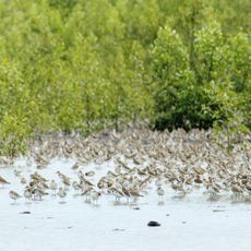
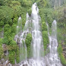
The park is split into five zones: a 526.48-hectare core, 4,453.52 hectares of wilderness, 1,505.22 hectares for use, 315.89 hectares special zone and 10,005.80 hectares under rehabilitation. Visitors head for the use zone, where waterfalls, camping areas, trails and birdwatching are organised. Until a dedicated unit is formed, the South Sumatra conservation office (BKSDA) manages the area.
The summit marked on maps and on the peak sign is not the highest point: the true top, Bui (also spelled Buik or Buih), lies about 1.3 km to the southeast at roughly 705 m, while the marked Maras peak is given as 699 m on its sign and about 695 m on some topographic maps.
The community of curious travelers
AroundUs brings together thousands of curated places, local tips, and hidden gems, enriched daily by 93,174 contributors worldwide.