City of Shoalhaven, Administrative division in New South Wales, Australia
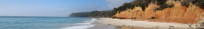
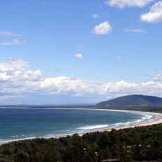
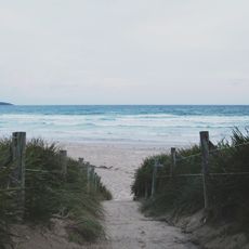
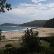
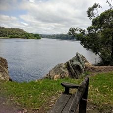
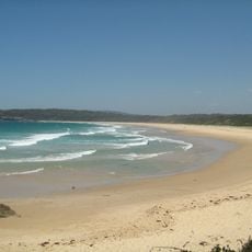
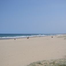
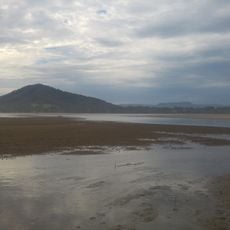
The City of Shoalhaven stretches across approximately 125 kilometers of coastline featuring around 109 beaches and numerous waterways that wind between mountains and coastal plains. The jurisdiction encompasses 49 towns and villages and is governed by a council of 13 elected members plus a directly elected mayor.
The region was established as Shoalhaven Shire in 1948 through the merger of several local councils, and gained city status from the New South Wales Governor in 1979. These administrative changes shaped how the area is governed and organized today.
The Dharawal and Jerrinja peoples have deep roots in this region and continue to shape how communities here celebrate and interact with the land between Crooked River and Clyde River. Their presence and traditions remain visible in local events and place names throughout the area.
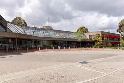
The region is managed by thirteen council members and a directly elected mayor who oversee local affairs across the 49 communities. Visitor information and services are typically available through individual town offices rather than a single central location.
The name Shoalhaven comes from George Bass, who spotted the shallow river mouth in 1797 while exploring the coast. This early European exploration gave the area its distinctive name that remains in use today.
The community of curious travelers
AroundUs brings together thousands of curated places, local tips, and hidden gems, enriched daily by 60,000 contributors worldwide.