
Dawes National Park, national park in Australia
Location: North Burnett Regional
Operator: Queensland Department of National Parks, Sport and Racing
GPS coordinates: -24.53451,151.26438
Latest update: March 20, 2025 08:56
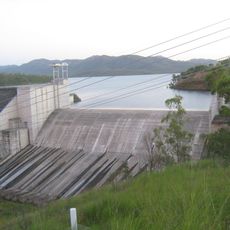
Lake Awoonga
51.3 km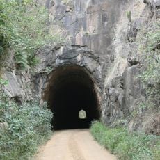
Boolboonda Tunnel
73.7 km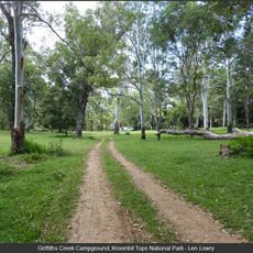
Kroombit Tops National Park
32.5 km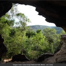
Cania Gorge National Park
32.3 km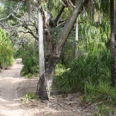
Deepwater National Park
72.8 km
Eurimbula National Park
59.8 km
Castle Tower National Park
40.9 km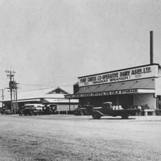
Port Curtis Co-operative Dairy Association Ltd Factory
76.3 km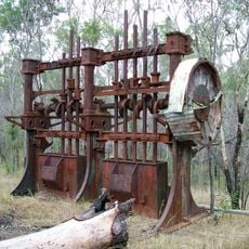
Norton Goldfield
26.3 km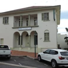
Commonwealth Bank Building, Gladstone
77 km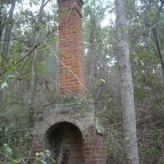
Glassford Creek Smelter Sites
4.3 km
Gladstone Central State School, Block B
77.1 km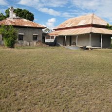
Glengarry Homestead
37.5 km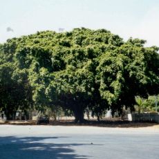
Big Fig, Miriam Vale
38 km
Bulburin National Park
27.8 km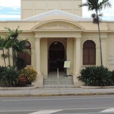
Gladstone Regional Art Gallery and Museum
76.7 km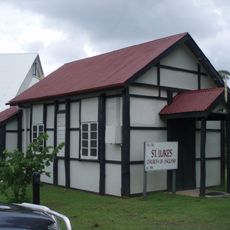
St Luke's Anglican Church, Boyne Island
65 km
Warro National Park
46.7 km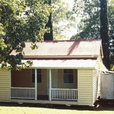
Boolboonda State School
74.2 km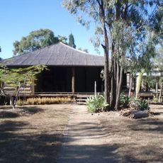
Greycliffe Homestead
77 km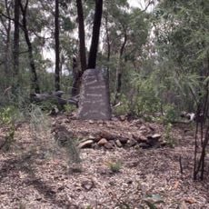
William Wyndham's gravesite
67.4 km
Boyne Island Tannum Sands Golf Course
63.8 km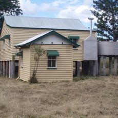
Soldier Settler House
16.7 km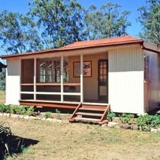
Ventnor State School
41.9 km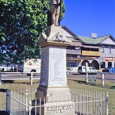
Miriam Vale War Memorial
37.9 km
Nour Nour National Park
75.3 km
Bania National Park
64.9 km
Dan Dan National Park
46.2 kmReviews
Visited this place? Tap the stars to rate it and share your experience / photos with the community! Try now! You can cancel it anytime.
Discover hidden gems everywhere you go!
From secret cafés to breathtaking viewpoints, skip the crowded tourist spots and find places that match your style. Our app makes it easy with voice search, smart filtering, route optimization, and insider tips from travelers worldwide. Download now for the complete mobile experience.

A unique approach to discovering new places❞
— Le Figaro
All the places worth exploring❞
— France Info
A tailor-made excursion in just a few clicks❞
— 20 Minutes