Pic Yambioué, Mountain summit in New Caledonia, French territory.
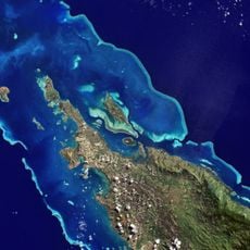
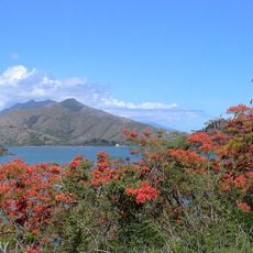
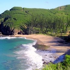
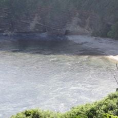
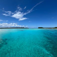
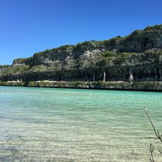
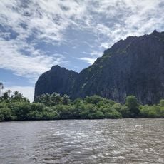
Pic Yambioué is a summit rising to 390 meters in New Caledonia, situated in the southern portion of this French territory. It stands above the surrounding landscape and offers views of the local geography and vegetation from its peak.
The mountain served as a reference point during early mapping expeditions of New Caledonia, aiding regional navigation and exploration. Its ongoing documentation made it a known landmark in the geographical history of the island group.
Local communities observe weather patterns and seasonal shifts from this elevated location, a practice rooted in traditional knowledge. This connection to the natural world remains visible today in how people use and read the mountain.
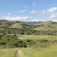
The hike works best in early morning hours when temperatures are more comfortable and visibility is optimal. Visitors should be prepared for changing weather and bring suitable footwear and adequate water.
Environmental sensors at the summit collect data on local climate patterns, supporting scientific research in the area. This monitoring contributes to understanding the region's plant and animal life.
The community of curious travelers
AroundUs brings together thousands of curated places, local tips, and hidden gems, enriched daily by 60,000 contributors worldwide.