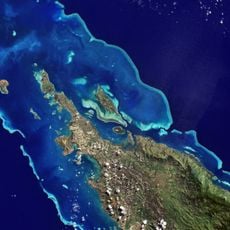
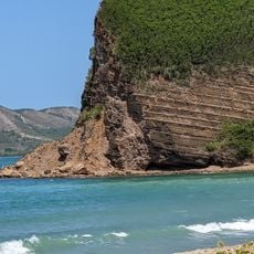
Ouéinédila, Mountain summit in New Caledonia, France.
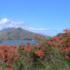
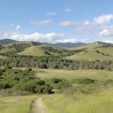
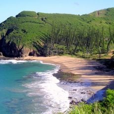
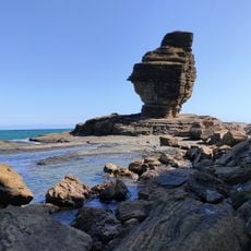
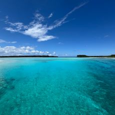
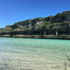
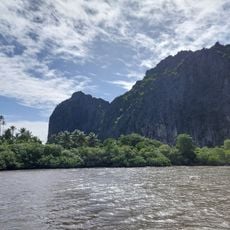
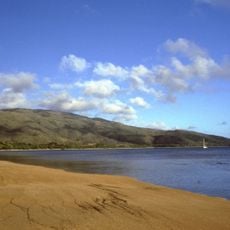
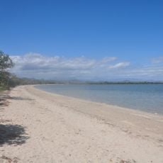
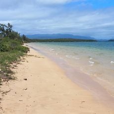
Ouéinédila is a summit in the northern part of New Caledonia that rises to about 278 meters above sea level. From this vantage point, visitors can view the surrounding landscape and terrain extending toward the Pacific.
The summit was documented during French mapping expeditions in the 19th century as an important landmark. These early surveys helped establish the geography of the island group on European maps.
The summit serves as a landmark for Kanak communities in understanding and sharing knowledge about their territory and its geography. These high points help people express their connection to the land and pass down stories about the landscape.
To hike to the summit, you need proper preparation and suitable gear for the tropical climate of the region. Bring plenty of water and plan your visit considering the weather conditions and daylight hours.
The summit marks a specific point along the northern mountain range of the island group and serves as a key reference for navigation and orientation. Its precise location has made it a familiar landmark among local guides and travelers in the region.
The community of curious travelers
AroundUs brings together thousands of curated places, local tips, and hidden gems, enriched daily by 60,000 contributors worldwide.