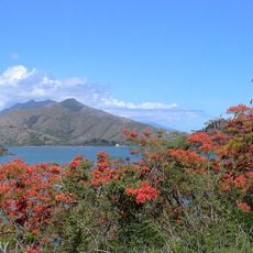
Oumbanaté, Mountain summit in New Caledonia, French territory
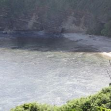
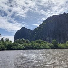
Oumbanaté is a mountain summit in New Caledonia that reaches approximately 372 meters above sea level. This peak is one of several high points that shape the island's varied terrain in the southwest Pacific.
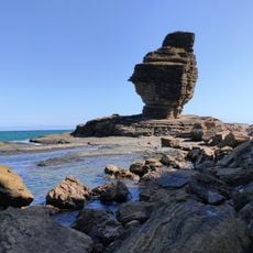
The summit was shaped through geological processes that began when New Caledonia separated from Gondwana roughly 66 million years ago. This ancient separation created the varied stone foundations that form the islands today.
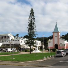
The summit sits within traditional Kanak lands where the mountain serves as a natural marker in the local landscape. People in the region have long used such high points for navigation and connection to their surroundings.
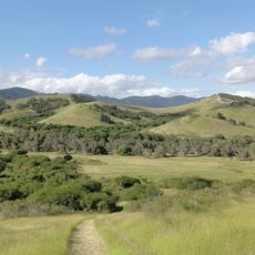
Visit between July and September when weather conditions are most favorable for hiking. Wear appropriate footwear and bring water, as the paths can be uneven and exposed to the elements.
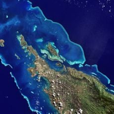
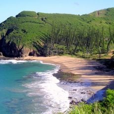
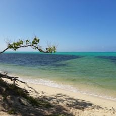
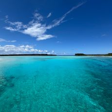
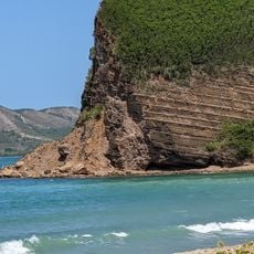
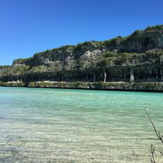
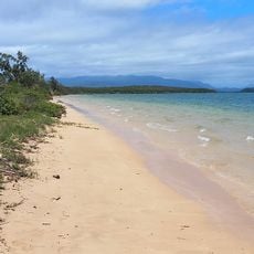
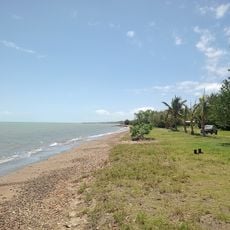
From the summit you can see across to the world's largest coral reef lagoon system stretching below the peak. This view combining mountain height and reef ecosystem is something few vantage points in the region offer.
The community of curious travelers
AroundUs brings together thousands of curated places, local tips, and hidden gems, enriched daily by 60,000 contributors worldwide.