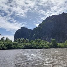
Gatinou, Summit in Hienghène, New Caledonia.
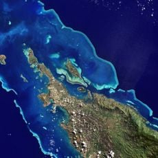
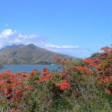
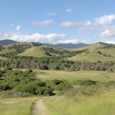
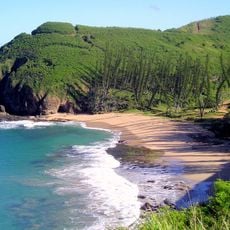
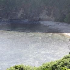
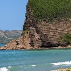
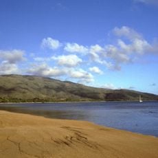
Gatinou is a summit located in Hienghène on New Caledonia, rising roughly 27 meters above sea level. The peak sits within a landscape dotted with ridges and valleys, offering views across the local terrain and nearby communities.
The summit was documented in military survey records during the 20th century as part of regional mapping efforts. These records contributed to navigation charts used for the South Pacific area.
The summit stands near several Kanak tribal territories, including the Tribu de Houanda and Tribu de Tiendanite, reflecting New Caledonia's indigenous heritage.
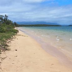
The location is accessible via Route de Kavatch and Route de Tiendanite, which connect to surrounding villages. Travel on these routes is easiest during the dry season.
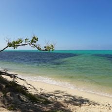
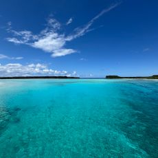
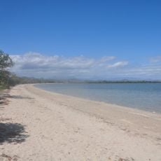
The summit location serves as a geographical marker within New Caledonia's continental island system, which harbors species dating from the Mesozoic period.
The community of curious travelers
AroundUs brings together thousands of curated places, local tips, and hidden gems, enriched daily by 60,000 contributors worldwide.