Mont Doghéné, Mountain summit in New Caledonia, French territory
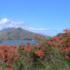
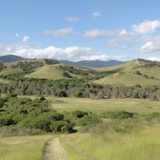
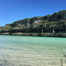
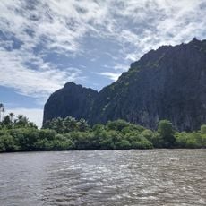
Mont Doghéné is an 808-meter peak in the southeastern region of Noumea with natural trails running through the landscape. The terrain is marked by dense vegetation and varying rock types that reveal themselves as you climb.
Early French settlers recognized and used this peak as a landmark when establishing their presence in the territory. This role has persisted and made it a permanent reference point in the region.
The peak has long served as a reference point shaping how local people perceive and navigate the surrounding landscape. Visitors encounter local knowledge about the plant species and rock formations visible along the paths.
You can reach the summit by two different routes: a steeper southern path and a gentler northern route through old logging ways. Wear appropriate footwear and bring enough water, as weather can change quickly at higher elevation.
Geocachers have placed hidden caches on and around the peak that visitors can find using special coordinates. This treasure hunt adds an extra dimension to the hike for those interested in exploring this way.
The community of curious travelers
AroundUs brings together thousands of curated places, local tips, and hidden gems, enriched daily by 60,000 contributors worldwide.